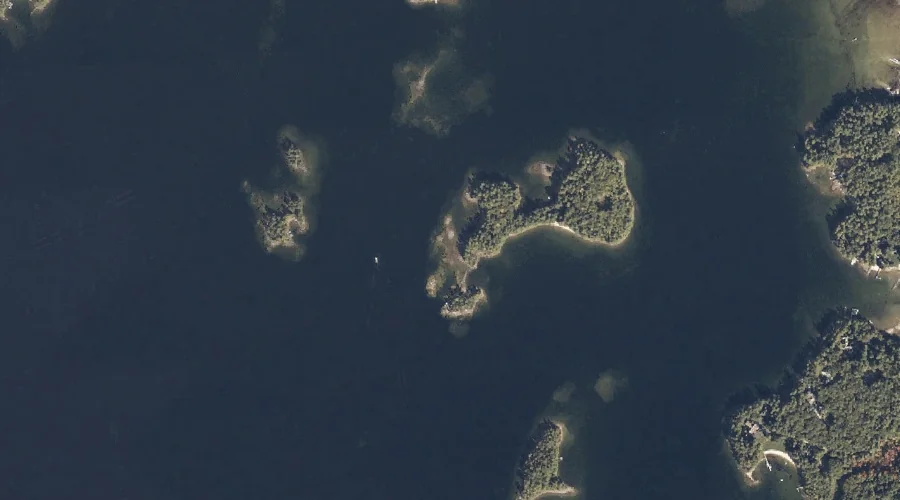
Dollys Island is a island in Cumberland County, Maine, located about 37.5 miles south-southeast of Chapman Inn in Bethel, Maine. It appears on the USGS Raymond topographic quadrangle.
Millstone Island is a island in Cumberland County, Maine, located about 37.5 miles south-southeast of Chapman Inn in Bethel, Maine. It appears on the USGS Naples topographic quadrangle.
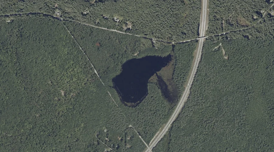
Royal River Reservoir is a reservoir in Cumberland County, Maine, located about 37.3 miles southeast of Chapman Inn in Bethel, Maine. It appears on the USGS Gray topographic…
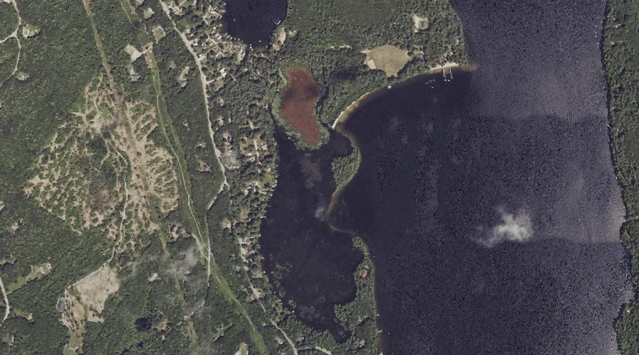
Notched Pond is a lake in Cumberland County, Maine, located about 37.3 miles south-southeast of Chapman Inn in Bethel, Maine. It appears on the USGS Raymond topographic quadrangle.
Decker Mountain is a summit in Cumberland County, Maine, located about 37.4 miles south of Chapman Inn in Bethel, Maine. It appears on the USGS Steep Falls topographic…
Little Hill is a summit in Cumberland County, Maine, located about 37.4 miles southeast of Chapman Inn in Bethel, Maine. It appears on the USGS Gray topographic quadrangle.
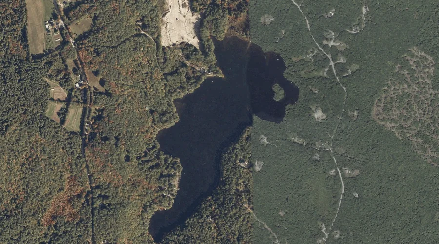
Chandler Mill Pond is a lake in Cumberland County, Maine, located about 37.4 miles southeast of Chapman Inn in Bethel, Maine. It appears on the USGS Gray topographic…
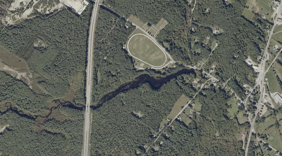
Ai Brook is a stream in Cumberland County, Maine, located about 37.3 miles south-southeast of Chapman Inn in Bethel, Maine. It appears on the USGS Raymond topographic quadrangle.
Flints Mountain is a summit in Cumberland County, Maine, located about 37.2 miles south of Chapman Inn in Bethel, Maine. It appears on the USGS Cornish topographic quadrangle.
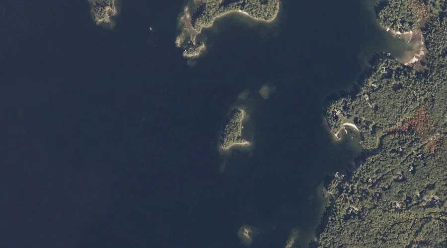
Outer Doctor Island is a island in Cumberland County, Maine, located about 37.2 miles south-southeast of Chapman Inn in Bethel, Maine. It appears on the USGS Naples topographic…