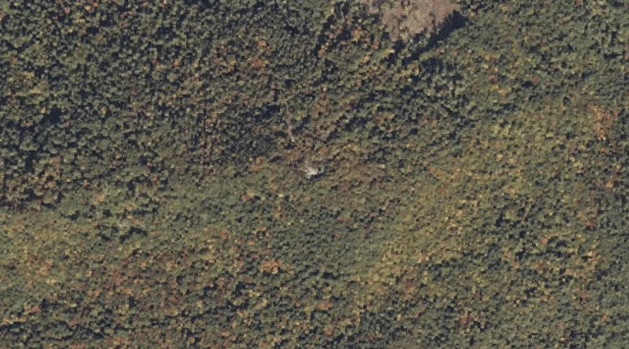
Robinson Hill is a summit in Cumberland County, Maine, located about 37.2 miles south of Chapman Inn in Bethel, Maine. It appears on the USGS Steep Falls topographic…
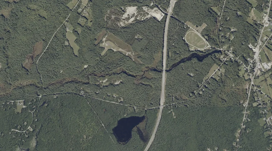
Lily Pond Brook is a stream in Cumberland County, Maine, located about 37.1 miles southeast of Chapman Inn in Bethel, Maine. It appears on the USGS Gray topographic…
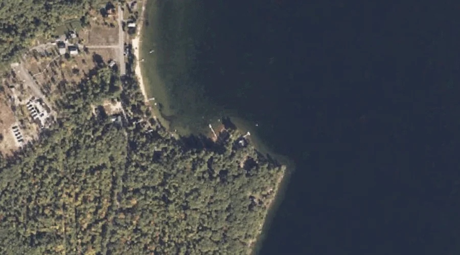
Bettys Neck is a cape in Cumberland County, Maine, located about 37.1 miles south-southeast of Chapman Inn in Bethel, Maine. It appears on the USGS Raymond topographic quadrangle.
Douglas Mountain is a summit in Cumberland County, Maine, located about 37.1 miles south of Chapman Inn in Bethel, Maine. It rises to 1,381 feet above sea level,…
Saddleback Hills is a summit in Cumberland County, Maine, located about 37.1 miles south of Chapman Inn in Bethel, Maine. It appears on the USGS Steep Falls topographic…
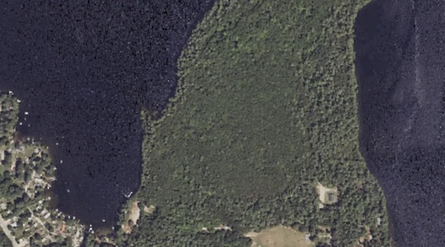
Doctor Island is a island in Cumberland County, Maine, located about 37.2 miles south-southeast of Chapman Inn in Bethel, Maine. It appears on the USGS Naples topographic quadrangle.
Morgan Meadow is a swamp in Cumberland County, Maine, located about 37.2 miles south-southeast of Chapman Inn in Bethel, Maine. It appears on the USGS Raymond topographic quadrangle.
Brown Hill is a summit in Cumberland County, Maine, located about 37.0 miles south-southeast of Chapman Inn in Bethel, Maine. It appears on the USGS Raymond topographic quadrangle.
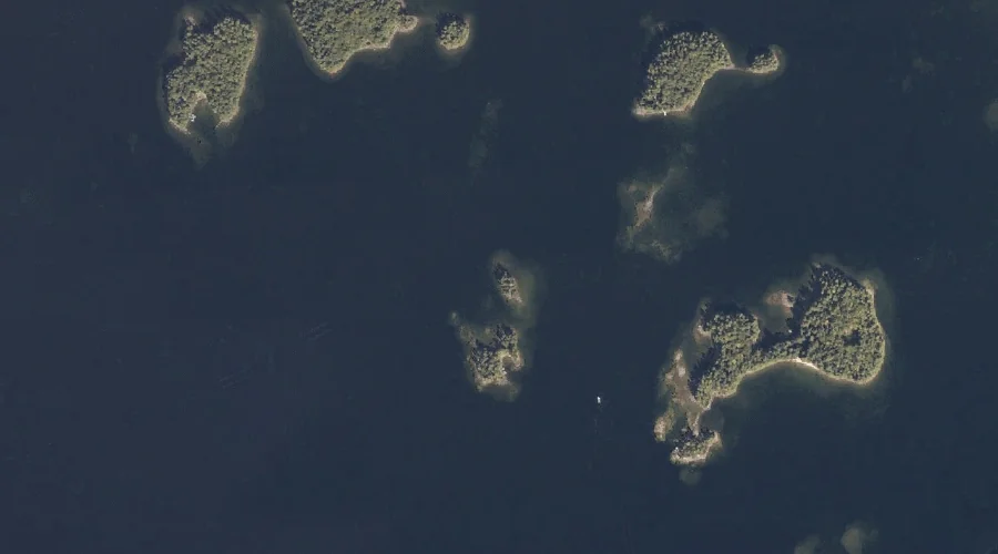
Inner Twin Island is a island in Cumberland County, Maine, located about 37.0 miles south-southeast of Chapman Inn in Bethel, Maine. It appears on the USGS Naples topographic…
Sanborns Point is a cape in Cumberland County, Maine, located about 37.1 miles south-southeast of Chapman Inn in Bethel, Maine. It appears on the USGS North Sebago topographic…