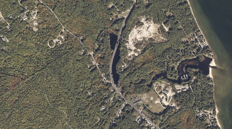
Fitch Mill Pond is a reservoir in Cumberland County, Maine, located about 38.5 miles south of Chapman Inn in Bethel, Maine. It appears on the USGS Steep Falls…
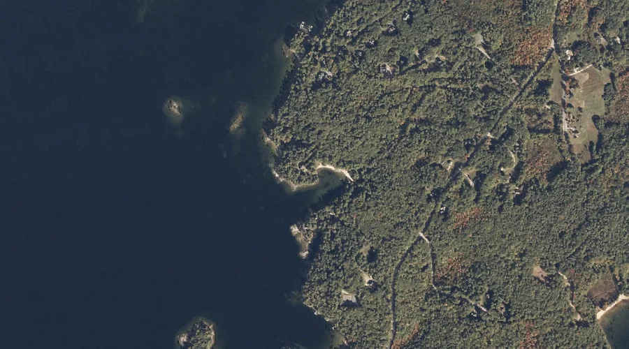
Blueberry Island is a island in Cumberland County, Maine, located about 38.5 miles south-southeast of Chapman Inn in Bethel, Maine. It appears on the USGS Naples topographic quadrangle.
Sucker Brook is a stream in Cumberland County, Maine, located about 38.6 miles south-southeast of Chapman Inn in Bethel, Maine. It appears on the USGS Raymond topographic quadrangle.
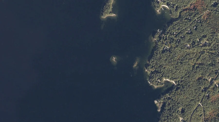
Shingle Cove is a bay in Cumberland County, Maine, located about 38.1 miles south-southeast of Chapman Inn in Bethel, Maine. It appears on the USGS Naples topographic quadrangle.
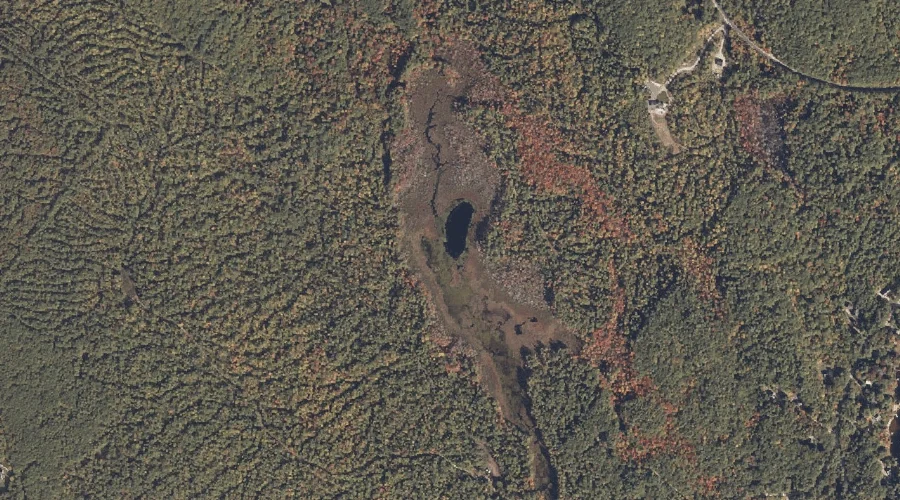
Farwell Bog is a lake in Cumberland County, Maine, located about 38.1 miles south-southeast of Chapman Inn in Bethel, Maine. It appears on the USGS Raymond topographic quadrangle.
Hayden Brook is a stream in Cumberland County, Maine, located about 38.2 miles south-southeast of Chapman Inn in Bethel, Maine. It appears on the USGS Raymond topographic quadrangle.
Tarkiln Hill is a summit in Cumberland County, Maine, located about 37.9 miles south-southeast of Chapman Inn in Bethel, Maine. It appears on the USGS Raymond topographic quadrangle.
Turtle Cove is a bay in Cumberland County, Maine, located about 38.0 miles south-southeast of Chapman Inn in Bethel, Maine. It appears on the USGS Naples topographic quadrangle.
Battleship Island is a island in Cumberland County, Maine, located about 37.9 miles south-southeast of Chapman Inn in Bethel, Maine. It appears on the USGS Naples topographic quadrangle.
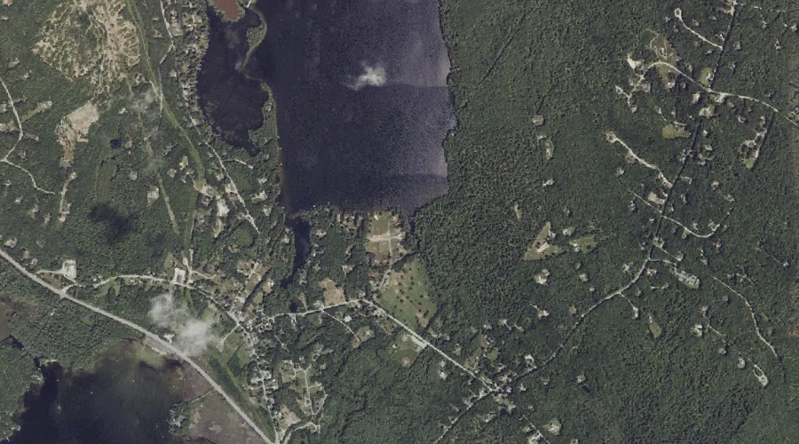
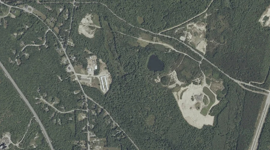
The Sinkhole is a lake in Cumberland County, Maine, located about 37.9 miles southeast of Chapman Inn in Bethel, Maine. It appears on the USGS Gray topographic quadrangle.