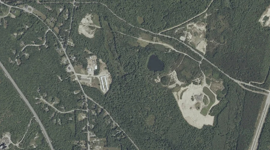
The Sinkhole is a lake in Cumberland County, Maine, located about 37.9 miles southeast of Chapman Inn in Bethel, Maine. It appears on the USGS Gray topographic quadrangle.
Peacock Hill is a summit in Cumberland County, Maine, located about 37.6 miles southeast of Chapman Inn in Bethel, Maine. It appears on the USGS Gray topographic quadrangle.
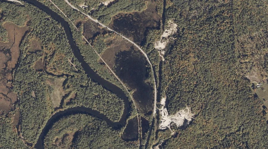
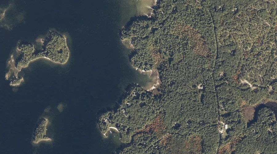
Schooner Cove is a bay in Cumberland County, Maine, located about 37.7 miles south-southeast of Chapman Inn in Bethel, Maine. It appears on the USGS Naples topographic quadrangle.
Glovers Wig is a summit in Cumberland County, Maine, located about 37.6 miles south-southeast of Chapman Inn in Bethel, Maine. It appears on the USGS Raymond topographic quadrangle.
Ingalls Pond is a lake in Cumberland County, Maine, located about 37.6 miles south of Chapman Inn in Bethel, Maine. It appears on the USGS Cornish topographic quadrangle.
Webb Rowe Mountain is a summit in Cumberland County, Maine, located about 37.6 miles south of Chapman Inn in Bethel, Maine. It appears on the USGS Steep Falls…
Dyke Mountain is a summit in Cumberland County, Maine, located about 37.4 miles south of Chapman Inn in Bethel, Maine. It appears on the USGS Steep Falls topographic…
Snows Hill is a summit in Cumberland County, Maine, located about 37.4 miles southeast of Chapman Inn in Bethel, Maine. It appears on the USGS Gray topographic quadrangle.
Dykes Mountain is a summit in Cumberland County, Maine, located about 37.4 miles south of Chapman Inn in Bethel, Maine. It appears on the USGS Steep Falls topographic…
Burnell Cove is a bay in Cumberland County, Maine, located about 37.5 miles south-southeast of Chapman Inn in Bethel, Maine. It appears on the USGS Naples topographic quadrangle.