Jordan Bay is a bay in Cumberland County, Maine, located about 39.2 miles south-southeast of Chapman Inn in Bethel, Maine. It appears on the USGS Raymond topographic quadrangle.
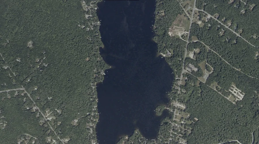
Crystal Lake is a lake in Cumberland County, Maine, located about 39.2 miles south-southeast of Chapman Inn in Bethel, Maine. It appears on the USGS Gray topographic quadrangle.
Panther Run is a stream in Cumberland County, Maine, located about 39.0 miles south-southeast of Chapman Inn in Bethel, Maine. It appears on the USGS Raymond topographic quadrangle.
Bald Mountain is a summit in Cumberland County, Maine, located about 38.9 miles south of Chapman Inn in Bethel, Maine. It appears on the USGS Steep Falls topographic…
Northwest River is a stream in Cumberland County, Maine, located about 38.7 miles south-southeast of Chapman Inn in Bethel, Maine. It appears on the USGS Steep Falls topographic…
Pumpkin Hill is a summit in Cumberland County, Maine, located about 38.7 miles south-southeast of Chapman Inn in Bethel, Maine. It appears on the USGS Gray topographic quadrangle.
Davis Spring is a spring in Cumberland County, Maine, located about 38.6 miles south of Chapman Inn in Bethel, Maine. It appears on the USGS Steep Falls topographic…
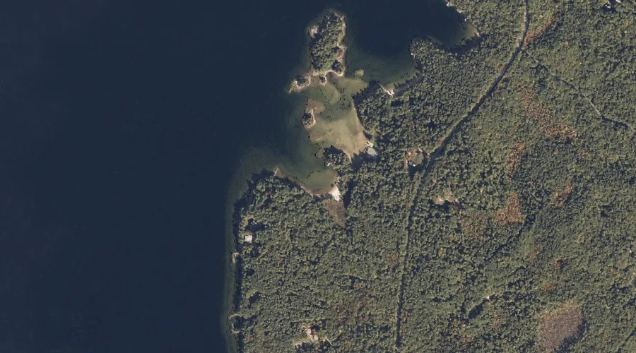
Lower Harvey Cove is a bay in Cumberland County, Maine, located about 38.6 miles south-southeast of Chapman Inn in Bethel, Maine. It appears on the USGS Naples topographic…
Rookies Island is a island in Cumberland County, Maine, located about 38.4 miles south-southeast of Chapman Inn in Bethel, Maine. It appears on the USGS Naples topographic quadrangle.
Upper Harvey Cove is a bay in Cumberland County, Maine, located about 38.4 miles south-southeast of Chapman Inn in Bethel, Maine. It appears on the USGS Naples topographic…