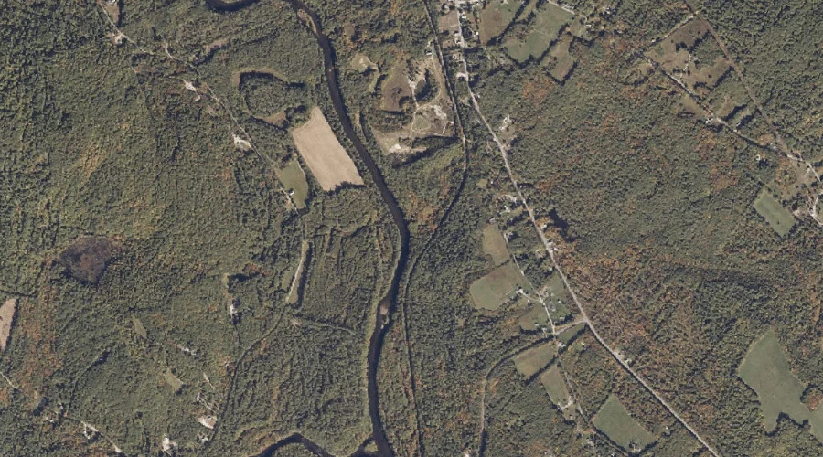
Stevens Brook is a stream in Cumberland County, Maine, located about 40.2 miles southeast of Chapman Inn in Bethel, Maine. It appears on the USGS Gray topographic quadrangle.
Talking Brook is a stream in Cumberland County, Maine, located about 40.3 miles southeast of Chapman Inn in Bethel, Maine. It appears on the USGS North Pownal topographic…
Heath Brook is a stream in Cumberland County, Maine, located about 40.1 miles south of Chapman Inn in Bethel, Maine. It appears on the USGS Steep Falls topographic…
Heath Brook is a stream in Cumberland County, Maine, located about 40.1 miles south of Chapman Inn in Bethel, Maine. It appears on the USGS Steep Falls topographic…
Dug Hill Brook is a stream in Cumberland County, Maine, located about 40.2 miles south of Chapman Inn in Bethel, Maine. It appears on the USGS Cornish topographic…
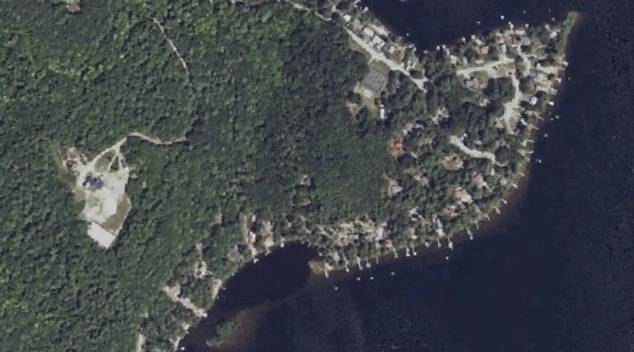
Krams Point is a cape in Cumberland County, Maine, located about 39.8 miles south-southeast of Chapman Inn in Bethel, Maine. It appears on the USGS Raymond topographic quadrangle.
Hyde Brook is a stream in Cumberland County, Maine, located about 39.9 miles south-southeast of Chapman Inn in Bethel, Maine. It appears on the USGS Raymond topographic quadrangle.
Grape Island is a island in Cumberland County, Maine, located about 39.9 miles south-southeast of Chapman Inn in Bethel, Maine. It appears on the USGS Raymond topographic quadrangle.
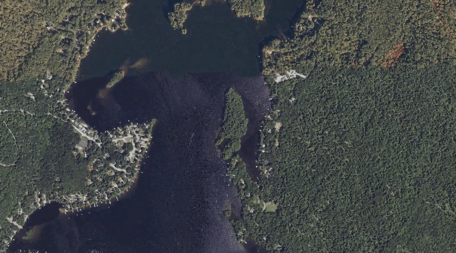
Upper Pond is a reservoir in Cumberland County, Maine, located about 39.7 miles south of Chapman Inn in Bethel, Maine. It appears on the USGS Steep Falls topographic…
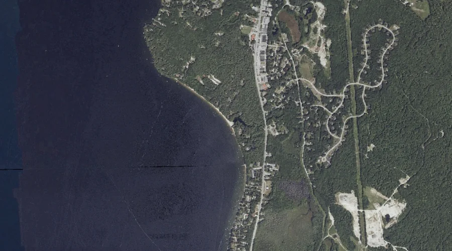
Sebago Lake is a reservoir in Cumberland County, Maine, located about 39.7 miles south-southeast of Chapman Inn in Bethel, Maine. It appears on the USGS Sebago Lake topographic…