 Aerial imagery: USGS National Map (public domain)
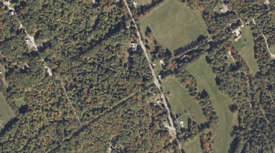
Davis Spring — Springs 38.6 Miles S of Chapman Inn
Cumberland County, Maine · USGS Steep Falls Quadrangle · GNIS 1912352
One of only 11 springs catalogued within the 80 km reach of Chapman Inn, Davis Spring lies on the USGS Steep Falls quadrangle in Cumberland County, Maine — 38.6 miles south of the Inn.
Landmark Profile
Classification & USGS reference
Within Cumberland County, Maine, the U.S. Geological Survey lists Davis Spring as a spring on the Steep Falls topographic quadrangle (FIPS 23/005), under Feature ID 1912352. Catalogued in GNIS since 05/08/2001.
Coordinates & physical setting
Davis Spring sits at 43.85257° N, 70.67506° W (DMS 43°51′09″ N, 70°40′30″ W).
Features on the USGS Steep Falls Quadrangle
The Steep Falls 7.5-minute topographic quadrangle holds 35 catalogued natural features alongside Davis Spring. A sampling nearest to this location:
| Feature | Type | County | Offset |
|---|---|---|---|
| Decker Mountain | Summits | Cumberland County, ME | 1.2 mi |
| Webb Rowe Mountain | Summits | Cumberland County, ME | 1.4 mi |
| Heath Brook | Streams | Cumberland County, ME | 1.5 mi |
| Heath Brook | Streams | Cumberland County, ME | 1.5 mi |
| Dyke Mountain | Summits | Cumberland County, ME | 1.6 mi |
| Saddleback Hills | Summits | Cumberland County, ME | 1.7 mi |
| Douglas Mountain | Summits | Cumberland County, ME | 1.7 mi |
| Fitch Mill Pond | Reservoirs | Cumberland County, ME | 1.8 mi |
| Dykes Mountain | Summits | Cumberland County, ME | 1.8 mi |
| Winn Mountain | Summits | Cumberland County, ME | 1.9 mi |
Ranking & rarity
- Among the 11 springs catalogued within 80 km of Chapman Inn, Davis Spring ranks #10 by proximity to the Inn (closer than 9%).
- This is one of only 11 springs catalogued within Chapman Inn’s 80 km reach — a rare classification in the local landscape.
Visiting from Chapman Inn
Distance, bearing & drive time
Follow the compass bearing S out of Bethel for 38.6 miles (south) and you reach Davis Spring; at typical rural speeds the trip runs roughly 66 minutes.
Best time to visit
Best observed in late spring and early summer when flow is strong and banks are visible. At this latitude (43.853°), the shoulder seasons are workable — April and November can be comfortable on mild years. At 38.6 miles from the Inn, block the full day — sunrise start, late return, packed meals. Conditions at Davis Spring track the nearby Decker Mountain summit (1.2 mi away) closely — if that is runnable, so is this.
Nearest features to Davis Spring
| Feature | Type | County | Distance |
|---|---|---|---|
| Decker Mountain | Summits | Cumberland County, ME | 1.2 mi |
| Webb Rowe Mountain | Summits | Cumberland County, ME | 1.4 mi |
| Heath Brook | Streams | Cumberland County, ME | 1.5 mi |
| Heath Brook | Streams | Cumberland County, ME | 1.5 mi |
| Dyke Mountain | Summits | Cumberland County, ME | 1.6 mi |
Frequently Asked Questions
Where is Davis Spring located?
Davis Spring is in Cumberland County, Maine, approximately 38.6 miles south of Chapman Inn in Bethel, Maine. It appears on the USGS Steep Falls topographic quadrangle.
How far is Davis Spring from Chapman Inn?
The drive runs about 66 minutes, 38.6 miles south (bearing S) of the Inn.
What type of natural feature is Davis Spring?
The U.S. Geological Survey classifies Davis Spring as a spring, catalogued under GNIS Feature ID 1912352 on the Steep Falls quadrangle.
When is the best time to visit Davis Spring?
Best observed in late spring and early summer when flow is strong and banks are visible.
How rare is springs as a classification near Chapman Inn?
Only 11 springs are catalogued within the 80 km radius of the Inn — a comparatively rare classification.