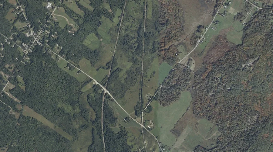
Mill Brook is a stream in Cumberland County, Maine, located about 40.8 miles southeast of Chapman Inn in Bethel, Maine. It appears on the USGS Gray topographic quadrangle.
Hatchery Brook is a stream in Cumberland County, Maine, located about 40.6 miles south-southeast of Chapman Inn in Bethel, Maine. It appears on the USGS Gray topographic quadrangle.
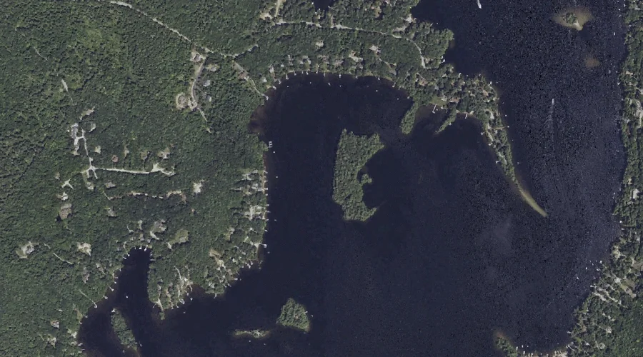
Lyon Point is a cape in Cumberland County, Maine, located about 40.6 miles south-southeast of Chapman Inn in Bethel, Maine. It appears on the USGS Raymond topographic quadrangle.
Raymond Cape is a cape in Cumberland County, Maine, located about 40.6 miles south-southeast of Chapman Inn in Bethel, Maine. It appears on the USGS North Windham topographic…
Mount Hunger is a summit in Cumberland County, Maine, located about 40.5 miles south-southeast of Chapman Inn in Bethel, Maine. It appears on the USGS Raymond topographic quadrangle.
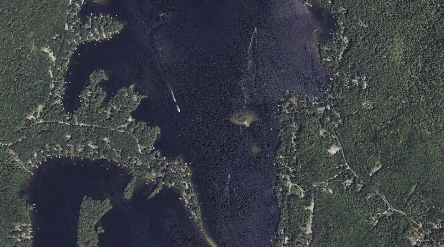
Bean Island is a island in Cumberland County, Maine, located about 40.5 miles south-southeast of Chapman Inn in Bethel, Maine. It appears on the USGS Raymond topographic quadrangle.
Rainbow Pond is a lake in Cumberland County, Maine, located about 40.4 miles south of Chapman Inn in Bethel, Maine. It appears on the USGS Steep Falls topographic…
Meadow Brook is a stream in Cumberland County, Maine, located about 40.4 miles southeast of Chapman Inn in Bethel, Maine. It appears on the USGS Gray topographic quadrangle.
Spider Island is a island in Cumberland County, Maine, located about 40.4 miles south-southeast of Chapman Inn in Bethel, Maine. It appears on the USGS Raymond topographic quadrangle.
Fryes Leap is a cliff face in Cumberland County, Maine, located about 40.4 miles south-southeast of Chapman Inn in Bethel, Maine. It appears on the USGS Sebago Lake…