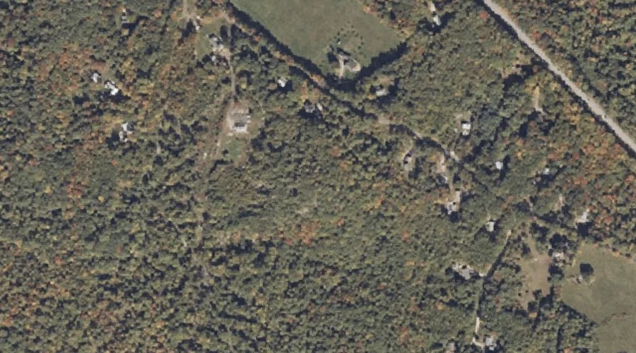
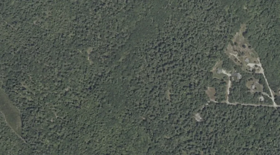
Harding Hill is a summit in Cumberland County, Maine, located about 41.0 miles south of Chapman Inn in Bethel, Maine. It appears on the USGS Cornish topographic quadrangle.
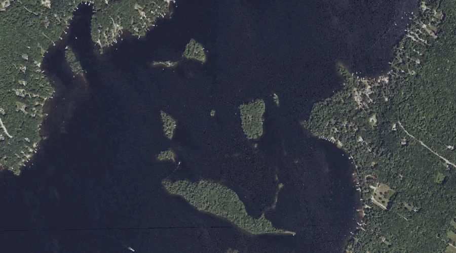
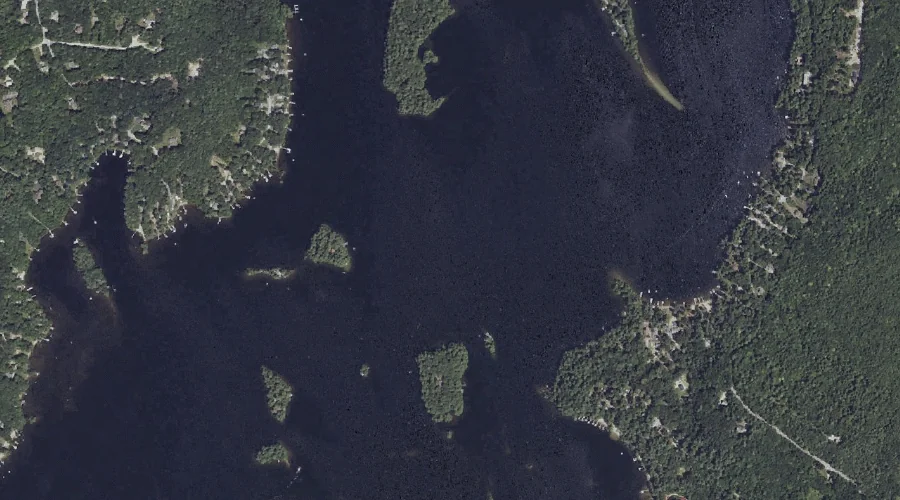
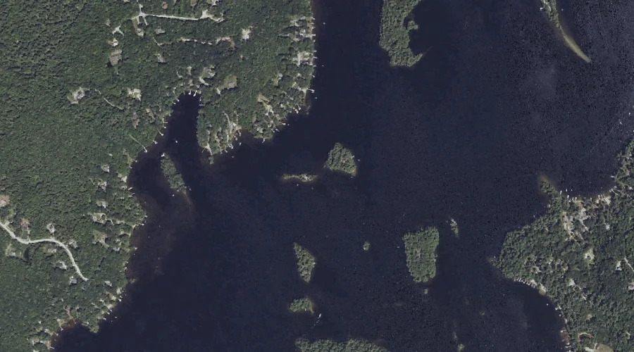
Crow Island is a island in Cumberland County, Maine, located about 41.0 miles south-southeast of Chapman Inn in Bethel, Maine. It appears on the USGS Raymond topographic quadrangle.
Papoose Island is a island in Cumberland County, Maine, located about 41.0 miles south-southeast of Chapman Inn in Bethel, Maine. It appears on the USGS North Windham topographic…
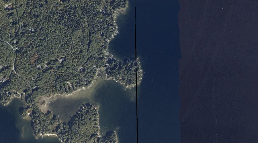
Upper Bay is a lake in Cumberland County, Maine, located about 40.8 miles south-southeast of Chapman Inn in Bethel, Maine. It appears on the USGS Raymond topographic quadrangle.
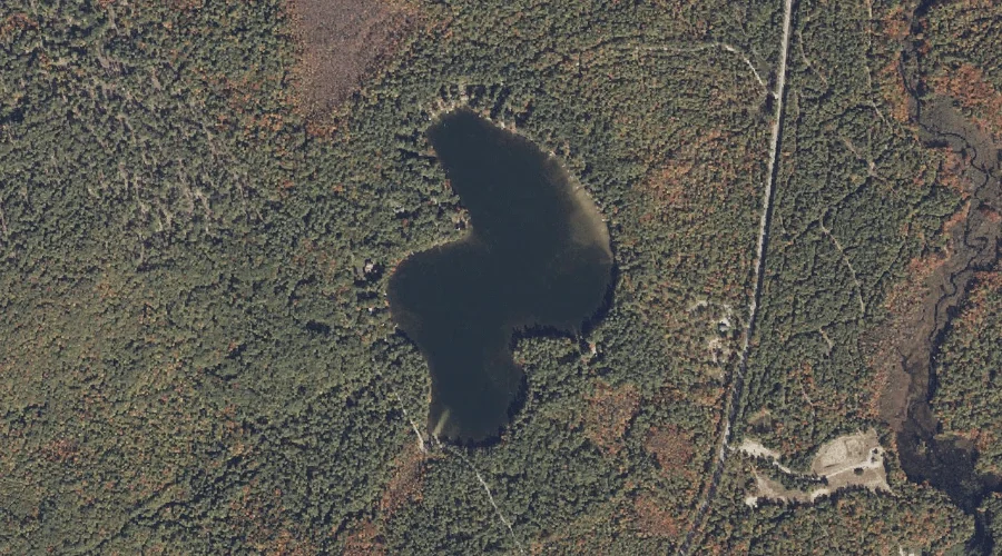
Sand Pond is a lake in Cumberland County, Maine, located about 40.8 miles south of Chapman Inn in Bethel, Maine. It appears on the USGS Steep Falls topographic…
Little Sebago Lake is a reservoir in Cumberland County, Maine, located about 40.8 miles south-southeast of Chapman Inn in Bethel, Maine. It appears on the USGS Raymond topographic…
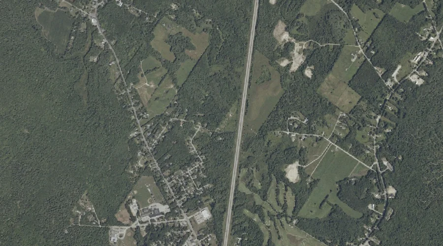
Libby Hill is a summit in Cumberland County, Maine, located about 40.6 miles south-southeast of Chapman Inn in Bethel, Maine. It appears on the USGS Gray topographic quadrangle.
Cole Brook is a stream in Cumberland County, Maine, located about 40.7 miles south-southeast of Chapman Inn in Bethel, Maine. It appears on the USGS Gray topographic quadrangle.
Martin Island is a island in Cumberland County, Maine, located about 40.7 miles south-southeast of Chapman Inn in Bethel, Maine. It appears on the USGS Raymond topographic quadrangle.
Eddy Brook is a stream in Cumberland County, Maine, located about 40.8 miles southeast of Chapman Inn in Bethel, Maine. It appears on the USGS Gray topographic quadrangle.