 Aerial imagery: USGS National Map (public domain)
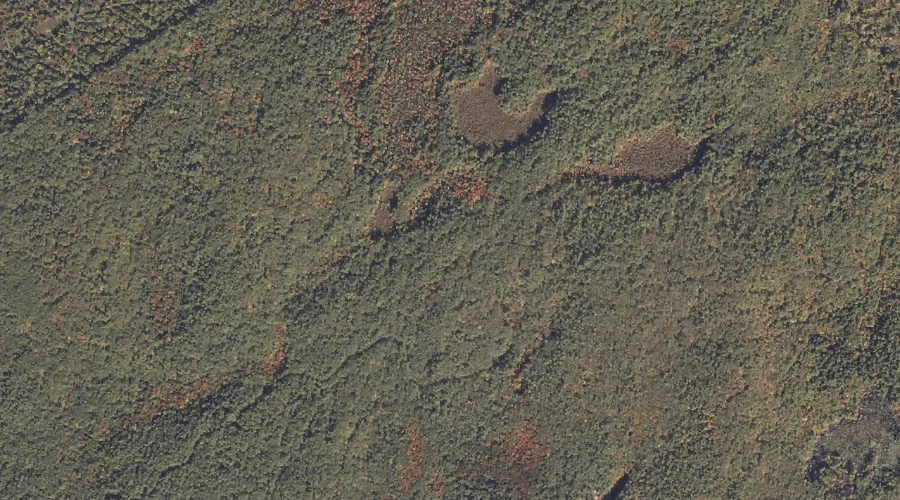
Rainbow Pond — Lakes 40.4 Miles S of Chapman Inn
Cumberland County, Maine · USGS Steep Falls Quadrangle · GNIS 1912944
40.4 miles south of Chapman Inn, on the USGS Steep Falls topographic quadrangle, Rainbow Pond is a lake recorded in Cumberland County, Maine by the federal Geographic Names Information System.
Landmark Profile
Classification & USGS reference
The USGS Steep Falls 7.5-minute topographic quadrangle places Rainbow Pond in Cumberland County, Maine (FIPS 23/005), classified as a lake in the federal GNIS (Feature ID 1912944). Catalogued in GNIS since 05/08/2001.
Coordinates & physical setting
Rainbow Pond sits at 43.83063° N, 70.64034° W (DMS 43°49′50″ N, 70°38′25″ W).
Other lakes in Cumberland County, Maine
Cumberland County, ME contains 47 lakes catalogued in the USGS Geographic Names Information System, counting Rainbow Pond itself. The ones closest to Rainbow Pond:
| Feature | USGS Quadrangle | Distance |
|---|---|---|
| Adams Pond | Steep Falls | 0.6 mi |
| Sand Pond | Steep Falls | 2.2 mi |
| Halfmoon Pond | Steep Falls | 3.3 mi |
| Duck Pond | Sebago Lake | 3.7 mi |
| Little Watchic Pond | Sebago Lake | 4.3 mi |
| Perley Pond | North Sebago | 5 mi |
| Mariner Pond | North Sebago | 5.3 mi |
| Southeast Pond | North Sebago | 6.4 mi |
| Cold Rain Pond | North Sebago | 6.9 mi |
| Browns Pond | North Sebago | 7.2 mi |
Features on the USGS Steep Falls Quadrangle
The Steep Falls 7.5-minute topographic quadrangle holds 35 catalogued natural features alongside Rainbow Pond. A sampling nearest to this location:
| Feature | Type | County | Offset |
|---|---|---|---|
| Adams Pond | Lakes | Cumberland County, ME | 0.6 mi |
| Chub Pond | Reservoirs | Cumberland County, ME | 0.8 mi |
| Heath Brook | Streams | Cumberland County, ME | 1.5 mi |
| Heath Brook | Streams | Cumberland County, ME | 1.5 mi |
| Woods Millpond | Reservoirs | Cumberland County, ME | 1.8 mi |
| Fitch Mill Pond | Reservoirs | Cumberland County, ME | 1.9 mi |
| Northwest River | Streams | Cumberland County, ME | 1.9 mi |
| Sand Pond | Lakes | Cumberland County, ME | 2.2 mi |
| Davis Spring | Springs | Cumberland County, ME | 2.3 mi |
| Tucker Brook | Streams | Cumberland County, ME | 2.9 mi |
Visiting from Chapman Inn
Distance, bearing & drive time
Chapman Inn sits 40.4 miles south (bearing S) of Rainbow Pond. At moderate back-road speeds the drive runs about 69 minutes — comfortably inside a half-day outing window after breakfast.
Best time to visit
June through September for paddling and swimming; January through March for ice fishing. At this latitude (43.831°), the shoulder seasons are workable — April and November can be comfortable on mild years. At 40.4 miles from the Inn, block the full day — sunrise start, late return, packed meals. Conditions at Rainbow Pond track the nearby Adams Pond lake (0.6 mi away) closely — if that is runnable, so is this.
Nearest features to Rainbow Pond
| Feature | Type | County | Distance |
|---|---|---|---|
| Adams Pond | Lakes | Cumberland County, ME | 0.6 mi |
| Chub Pond | Reservoirs | Cumberland County, ME | 0.8 mi |
| Heath Brook | Streams | Cumberland County, ME | 1.5 mi |
| Heath Brook | Streams | Cumberland County, ME | 1.5 mi |
| Woods Millpond | Reservoirs | Cumberland County, ME | 1.8 mi |
Frequently Asked Questions
Where is Rainbow Pond located?
Rainbow Pond is in Cumberland County, Maine, approximately 40.4 miles south of Chapman Inn in Bethel, Maine. It appears on the USGS Steep Falls topographic quadrangle.
How far is Rainbow Pond from Chapman Inn?
The drive runs about 69 minutes, 40.4 miles south (bearing S) of the Inn.
What type of natural feature is Rainbow Pond?
The U.S. Geological Survey classifies Rainbow Pond as a lake, catalogued under GNIS Feature ID 1912944 on the Steep Falls quadrangle.
When is the best time to visit Rainbow Pond?
June through September for paddling and swimming; January through March for ice fishing.
How many other lakes are in Cumberland County, Maine?
GNIS lists 46 other lakes in Cumberland County, Maine.