 Aerial imagery: USGS National Map (public domain)
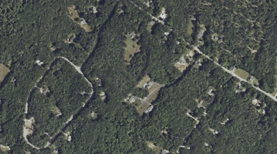
Knight Hill — Summits 42.6 Miles SSE of Chapman Inn
Cumberland County, Maine · USGS North Windham Quadrangle · GNIS 1912626
42.6 miles south-southeast of Chapman Inn, on the USGS North Windham topographic quadrangle, Knight Hill is a summit recorded in Cumberland County, Maine by the federal Geographic Names Information System.
Wikidata short description: “mountain in United States of America”
Landmark Profile
Classification & USGS reference
The USGS North Windham 7.5-minute topographic quadrangle places Knight Hill in Cumberland County, Maine (FIPS 23/005), classified as a summit in the federal GNIS (Feature ID 1912626). Last revised by the Board on Geographic Names on 07/16/2022.
Coordinates & physical setting
Knight Hill sits at 43.86118° N, 70.38478° W (DMS 43°51′40″ N, 70°23′05″ W).
Other summits in Cumberland County, Maine
Cumberland County, ME contains 108 summits catalogued in the USGS Geographic Names Information System, counting Knight Hill itself. The ones closest to Knight Hill:
| Feature | USGS Quadrangle | Elevation | Distance |
|---|---|---|---|
| Boody Hill | North Windham | — | 0.9 mi |
| Adams Hill | Raymond | — | 1.5 mi |
| Varney Hill | Cumberland Center | — | 1.6 mi |
| Dutton Hill | Cumberland Center | — | 2.3 mi |
| Baker Mountain | North Windham | — | 2.3 mi |
| Mount Hunger | Raymond | — | 2.8 mi |
| Hunt Hill | Cumberland Center | — | 2.8 mi |
| Atherton Hill | Cumberland Center | — | 3.1 mi |
| Libby Hill | Gray | — | 3.1 mi |
| Freeman Hill | North Windham | — | 3.7 mi |
Features on the USGS North Windham Quadrangle
The North Windham 7.5-minute topographic quadrangle holds 58 catalogued natural features alongside Knight Hill. A sampling nearest to this location:
| Feature | Type | County | Offset |
|---|---|---|---|
| Allen Bog | Lakes | Cumberland County, ME | 0.5 mi |
| Boody Hill | Summits | Cumberland County, ME | 0.9 mi |
| Glantz Brook | Streams | Cumberland County, ME | 0.9 mi |
| Ollie Brook | Streams | Cumberland County, ME | 1 mi |
| Hall Cove | Bays | Cumberland County, ME | 1.4 mi |
| Clubhouse Cove | Bays | Cumberland County, ME | 1.6 mi |
| Hall Cove | Bays | Cumberland County, ME | 1.7 mi |
| Horse Island | Islands | Cumberland County, ME | 1.7 mi |
| Hall Point | Capes | Cumberland County, ME | 1.8 mi |
| Hunger Bay | Bays | Cumberland County, ME | 1.8 mi |
Visiting from Chapman Inn
Distance, bearing & drive time
Chapman Inn sits 42.6 miles south-southeast (bearing SSE) of Knight Hill. At moderate back-road speeds the drive runs about 73 minutes — comfortably inside a half-day outing window after breakfast.
Best time to visit
Accessible May through November in most years. At this latitude (43.861°), the shoulder seasons are workable — April and November can be comfortable on mild years. At 42.6 miles from the Inn, block the full day — sunrise start, late return, packed meals. Conditions at Knight Hill track the nearby Allen Bog lake (0.5 mi away) closely — if that is runnable, so is this.
Nearest features to Knight Hill
| Feature | Type | County | Distance |
|---|---|---|---|
| Allen Bog | Lakes | Cumberland County, ME | 0.5 mi |
| Boody Hill | Summits | Cumberland County, ME | 0.9 mi |
| Glantz Brook | Streams | Cumberland County, ME | 0.9 mi |
| Ollie Brook | Streams | Cumberland County, ME | 1 mi |
| Hall Cove | Bays | Cumberland County, ME | 1.4 mi |
Frequently Asked Questions
Where is Knight Hill located?
Knight Hill is in Cumberland County, Maine, approximately 42.6 miles south-southeast of Chapman Inn in Bethel, Maine. It appears on the USGS North Windham topographic quadrangle.
How far is Knight Hill from Chapman Inn?
The drive runs about 73 minutes, 42.6 miles south-southeast (bearing SSE) of the Inn.
What type of natural feature is Knight Hill?
The U.S. Geological Survey classifies Knight Hill as a summit, catalogued under GNIS Feature ID 1912626 on the North Windham quadrangle.
When is the best time to visit Knight Hill?
Accessible May through November in most years.
How many other summits are in Cumberland County, Maine?
GNIS lists 107 other summits in Cumberland County, Maine.
Wikidata: Q33140326.