 Aerial imagery: USGS National Map (public domain)
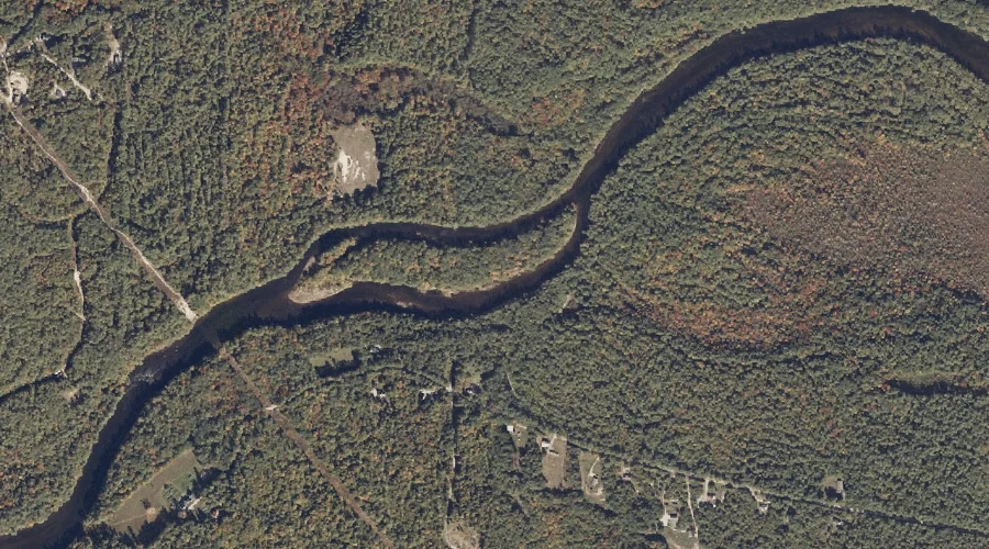
Goulds Island — Islands 42.3 Miles S of Chapman Inn
Cumberland County, Maine · USGS Steep Falls Quadrangle · GNIS 1912494
42.3 miles south of Chapman Inn, on the USGS Steep Falls topographic quadrangle, Goulds Island is a island recorded in Cumberland County, Maine by the federal Geographic Names Information System.
Wikidata short description: “island in Cumberland County, Maine, United States”
Landmark Profile
Classification & USGS reference
The USGS Steep Falls 7.5-minute topographic quadrangle places Goulds Island in Cumberland County, Maine (FIPS 23/005), classified as a island in the federal GNIS (Feature ID 1912494). Catalogued in GNIS since 05/08/2001.
Coordinates & physical setting
Goulds Island sits at 43.79508° N, 70.71978° W (DMS 43°47′42″ N, 70°43′11″ W).
Other islands in Cumberland County, Maine
Cumberland County, ME contains 52 islands catalogued in the USGS Geographic Names Information System, counting Goulds Island itself. The ones closest to Goulds Island:
| Feature | USGS Quadrangle | Distance |
|---|---|---|
| Blueberry Island | Standish | 6.2 mi |
| Treasure Island | Standish | 6.3 mi |
| Middle Island | Standish | 6.3 mi |
| Big Island | Standish | 6.5 mi |
| Spider Island | Naples | 8.2 mi |
| Outer Island | Naples | 9.8 mi |
| Inner Island | Naples | 10 mi |
| Frye Island | Sebago Lake | 10.3 mi |
| Indian Island | Sebago Lake | 10.4 mi |
| Blueberry Island | Naples | 11.3 mi |
Features on the USGS Steep Falls Quadrangle
The Steep Falls 7.5-minute topographic quadrangle holds 35 catalogued natural features alongside Goulds Island. A sampling nearest to this location:
| Feature | Type | County | Offset |
|---|---|---|---|
| Pigeon Brook | Streams | Cumberland County, ME | 0.2 mi |
| Sanborn Pond | Reservoirs | Cumberland County, ME | 1.4 mi |
| Halfmoon Pond | Lakes | Cumberland County, ME | 1.4 mi |
| Moody Mountain | Summits | York County, ME | 1.7 mi |
| Dollar Pond | Lakes | York County, ME | 2.3 mi |
| Quaker Brook | Streams | Cumberland County, ME | 2.3 mi |
| Horne Pond | Reservoirs | York County, ME | 2.3 mi |
| Town Farm Hill | Summits | York County, ME | 2.4 mi |
| Sand Pond | Lakes | Cumberland County, ME | 2.6 mi |
| Upper Pond | Reservoirs | Cumberland County, ME | 2.7 mi |
Visiting from Chapman Inn
Distance, bearing & drive time
Chapman Inn sits 42.3 miles south (bearing S) of Goulds Island. At moderate back-road speeds the drive runs about 72 minutes — comfortably inside a half-day outing window after breakfast.
Best time to visit
Late May through early October, when the water is safe for small-boat access. At this latitude (43.795°), the shoulder seasons are workable — April and November can be comfortable on mild years. At 42.3 miles from the Inn, block the full day — sunrise start, late return, packed meals. Conditions at Goulds Island track the nearby Pigeon Brook stream (0.2 mi away) closely — if that is runnable, so is this.
Nearest features to Goulds Island
| Feature | Type | County | Distance |
|---|---|---|---|
| Pigeon Brook | Streams | Cumberland County, ME | 0.2 mi |
| Sanborn Pond | Reservoirs | Cumberland County, ME | 1.4 mi |
| Halfmoon Pond | Lakes | Cumberland County, ME | 1.4 mi |
| Moody Mountain | Summits | York County, ME | 1.7 mi |
| Pease Brook | Streams | York County, ME | 2.1 mi |
Frequently Asked Questions
Where is Goulds Island located?
Goulds Island is in Cumberland County, Maine, approximately 42.3 miles south of Chapman Inn in Bethel, Maine. It appears on the USGS Steep Falls topographic quadrangle.
How far is Goulds Island from Chapman Inn?
The drive runs about 72 minutes, 42.3 miles south (bearing S) of the Inn.
What type of natural feature is Goulds Island?
The U.S. Geological Survey classifies Goulds Island as a island, catalogued under GNIS Feature ID 1912494 on the Steep Falls quadrangle.
When is the best time to visit Goulds Island?
Late May through early October, when the water is safe for small-boat access.
How many other islands are in Cumberland County, Maine?
GNIS lists 51 other islands in Cumberland County, Maine.
Wikidata: Q34765603.