Hitchcock Falls is a waterfall in Coos County, New Hampshire, located about 24.0 miles west of Chapman Inn in Bethel, Maine. It appears on the USGS Mount Washington…
Roundtop Mountain is a summit in Coos County, New Hampshire, located about 24.1 miles northwest of Chapman Inn in Bethel, Maine. It appears on the USGS Umbagog Lake…
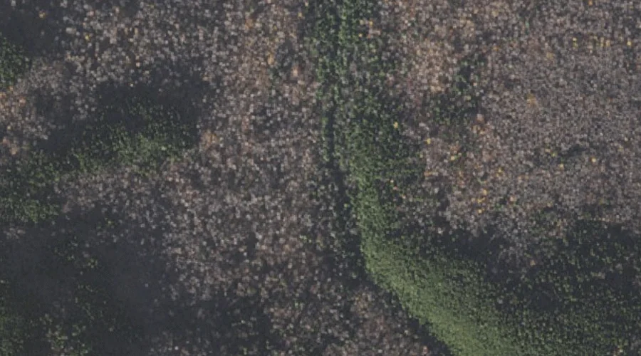
Carlton Brook is a stream in Coos County, New Hampshire, located about 24.1 miles west of Chapman Inn in Bethel, Maine. It appears on the USGS Mount Washington…
Kelton Crag is a rock pillar in Coos County, New Hampshire, located about 24.2 miles west of Chapman Inn in Bethel, Maine. It appears on the USGS Mount…
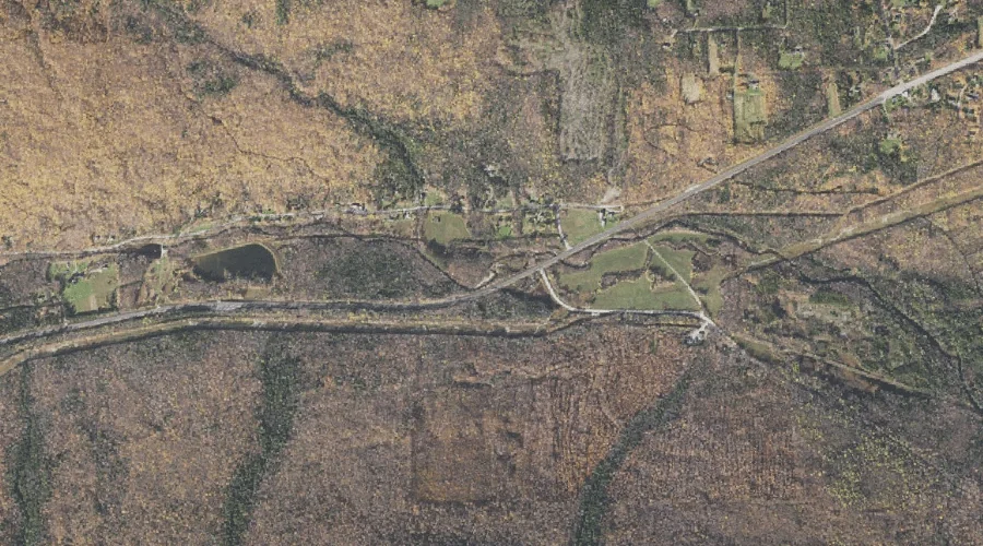
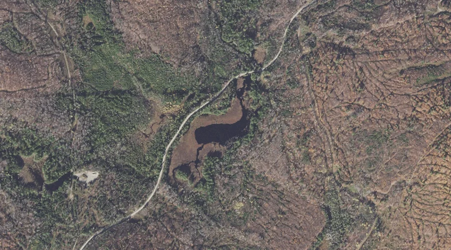
Jericho Lake is a reservoir in Coos County, New Hampshire, located about 24.2 miles west-northwest of Chapman Inn in Bethel, Maine. It appears on the USGS Mount Crescent…
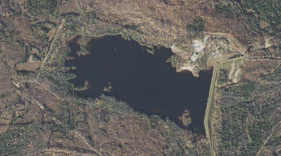
Mud Pond is a lake in Coos County, New Hampshire, located about 24.2 miles northwest of Chapman Inn in Bethel, Maine. It appears on the USGS Teakettle Ridge…
Little Roundtop Mountain is a summit in Coos County, New Hampshire, located about 24.3 miles northwest of Chapman Inn in Bethel, Maine. It appears on the USGS Umbagog…
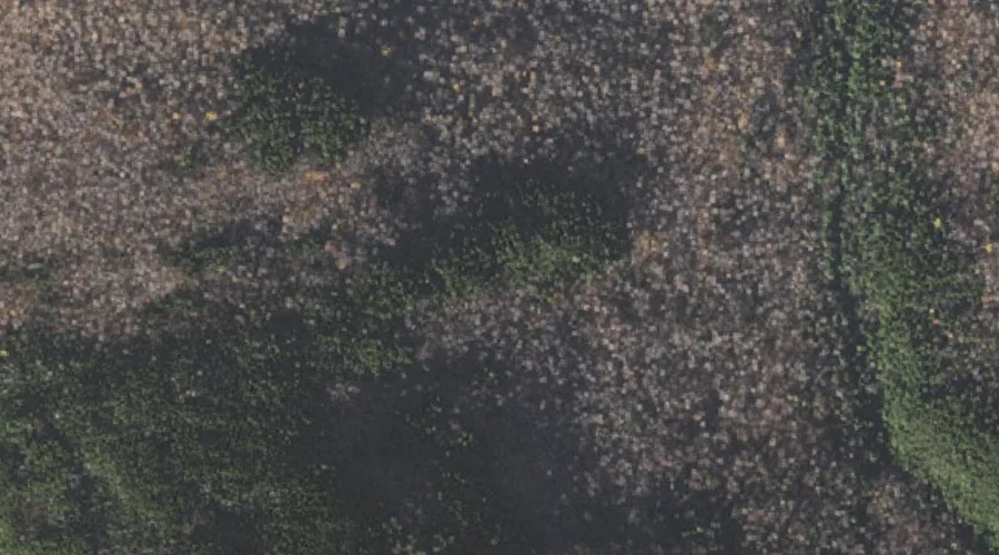
Wildcat Ridge is a ridge in Coos County, New Hampshire, located about 24.3 miles west-southwest of Chapman Inn in Bethel, Maine. It appears on the USGS Jackson topographic…
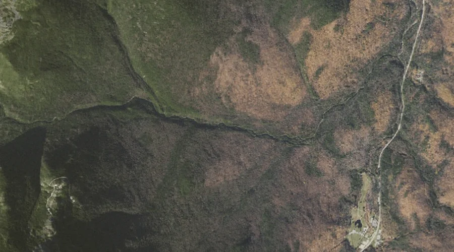
Great Gulf is a valley in Coos County, New Hampshire, located about 23.9 miles west-southwest of Chapman Inn in Bethel, Maine. It appears on the USGS Mount Washington…
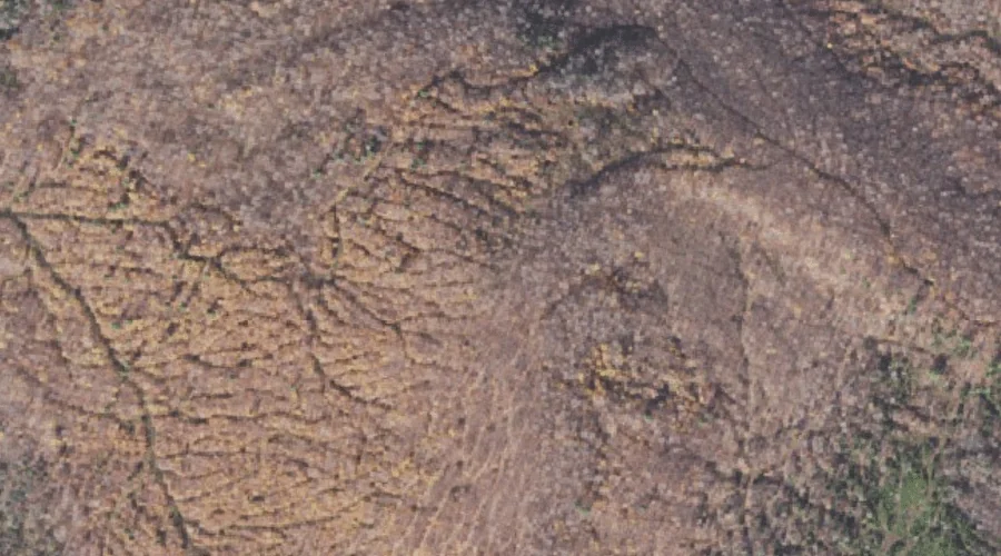
Black Crescent Mountain is a summit in Coos County, New Hampshire, located about 23.9 miles west of Chapman Inn in Bethel, Maine. It rises to 3,264 feet above…