 Aerial imagery: USGS National Map (public domain)
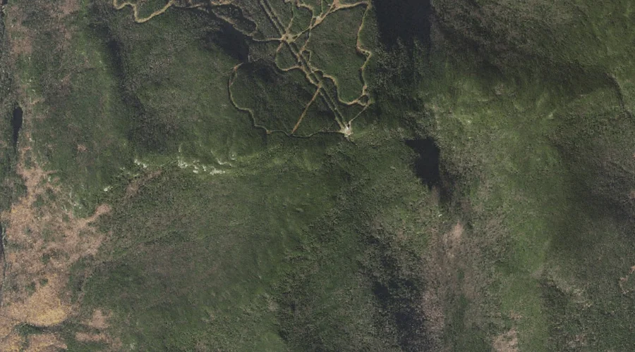
Wildcat Ridge — Ridges 24.3 Miles WSW of Chapman Inn
Coos County, New Hampshire · USGS Jackson Quadrangle · GNIS 872941
Catalogued on the USGS Jackson quadrangle in Coos County, New Hampshire, Wildcat Ridge — a ridge — lies 24.3 miles west-southwest of Chapman Inn.
Landmark Profile
Classification & USGS reference
Catalogued under GNIS Feature ID 872941, Wildcat Ridge is recorded as a ridge on the USGS Jackson quadrangle in Coos County, New Hampshire (FIPS 33/007). Last revised by the Board on Geographic Names on 11/07/2020.
Coordinates & physical setting
Wildcat Ridge sits at 44.24665° N, 71.22719° W (DMS 44°14′48″ N, 71°13′38″ W).
Other ridges in Coos County, New Hampshire
Coos County, NH contains 32 ridges catalogued in the USGS Geographic Names Information System, counting Wildcat Ridge itself. The ones closest to Wildcat Ridge:
| Feature | USGS Quadrangle | Elevation | Distance |
|---|---|---|---|
| Rocky Branch Ridge | Stairs Mountain | — | 3.1 mi |
| Montalban Ridge | Stairs Mountain | — | 4 mi |
| Chandler Ridge | Mount Washington | — | 4 mi |
| Castellated Ridge | Mount Washington | — | 6 mi |
| Ridge of the Caps | Mount Washington | — | 6.1 mi |
| Osgood Ridge | Mount Washington | — | 6.1 mi |
| Howker Ridge | Mount Washington | — | 6.2 mi |
| Durand Ridge | Mount Washington | — | 6.2 mi |
| Gordon Ridge | Mount Washington | — | 6.2 mi |
| Israel Ridge | Mount Washington | — | 6.3 mi |
Features on the USGS Jackson Quadrangle
The Jackson 7.5-minute topographic quadrangle holds 29 catalogued natural features alongside Wildcat Ridge. A sampling nearest to this location:
| Feature | Type | County | Offset |
|---|---|---|---|
| Bog Brook | Streams | Carroll County, NH | 2.9 mi |
| Davis Brook | Streams | Carroll County, NH | 3 mi |
| Perkins Notch | Gaps | Coos County, NH | 3.5 mi |
| Than Brook | Streams | Carroll County, NH | 3.7 mi |
| Black Mountain | Ridges | Carroll County, NH | 3.8 mi |
| No Ketchum Pond | Lakes | Coos County, NH | 4.1 mi |
| Wildcat Brook | Streams | Carroll County, NH | 4.3 mi |
| Marsh Brook | Streams | Carroll County, NH | 4.4 mi |
| Spruce Mountain | Summits | Carroll County, NH | 4.5 mi |
| Winniweta Falls | Waterfalls | Carroll County, NH | 4.7 mi |
Visiting from Chapman Inn
Distance, bearing & drive time
A 42-minute drive along back roads separates the front door of Chapman Inn from Wildcat Ridge — 24.3 miles west-southwest as the crow flies, on compass bearing WSW.
Best time to visit
Accessible May through November in most years. Being this far north (lat 44.247°), first snows typically arrive by mid-October and linger into early May — narrow the window accordingly. At 24.3 miles from the Inn, plan on a comfortable day trip with time for lunch on the road. Conditions at Wildcat Ridge track the nearby Lost Pond lake (1.2 mi away) closely — if that is runnable, so is this.
Nearest features to Wildcat Ridge
| Feature | Type | County | Distance |
|---|---|---|---|
| Lost Pond | Lakes | Coos County, NH | 1.2 mi |
| Glen Ellis Falls | Waterfalls | Coos County, NH | 1.2 mi |
| New River | Streams | Coos County, NH | 1.5 mi |
| Pinkham Notch | Gaps | Coos County, NH | 1.5 mi |
| Wildcat Mountain | Summits | Coos County, NH | 1.5 mi |
Frequently Asked Questions
Where is Wildcat Ridge located?
Wildcat Ridge is in Coos County, New Hampshire, approximately 24.3 miles west-southwest of Chapman Inn in Bethel, Maine. It appears on the USGS Jackson topographic quadrangle.
How far is Wildcat Ridge from Chapman Inn?
The drive runs about 42 minutes, 24.3 miles west-southwest (bearing WSW) of the Inn.
What type of natural feature is Wildcat Ridge?
The U.S. Geological Survey classifies Wildcat Ridge as a ridge, catalogued under GNIS Feature ID 872941 on the Jackson quadrangle.
When is the best time to visit Wildcat Ridge?
Accessible May through November in most years.
How many other ridges are in Coos County, New Hampshire?
GNIS lists 31 other ridges in Coos County, New Hampshire.