 Aerial imagery: USGS National Map (public domain)
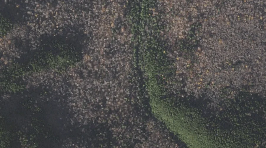
Hitchcock Falls — Waterfalls 24.0 Miles W of Chapman Inn
Coos County, New Hampshire · USGS Mount Washington Quadrangle · GNIS 872042
Within Coos County, New Hampshire, on the USGS Mount Washington quadrangle, the waterfall known as Hitchcock Falls sits 24.0 miles west of Chapman Inn.
Landmark Profile
Classification & USGS reference
Within Coos County, New Hampshire, the U.S. Geological Survey lists Hitchcock Falls as a waterfall on the Mount Washington topographic quadrangle (FIPS 33/007), under Feature ID 872042. Catalogued in GNIS since 08/27/1980.
Coordinates & physical setting
Hitchcock Falls sits at 44.35978° N, 71.27119° W (DMS 44°21′35″ N, 71°16′16″ W).
As a linear feature its source lies near 0.00000° N, 0.00000° W — useful for anglers and paddlers tracing the upstream end.
Other waterfalls in Coos County, New Hampshire
Coos County, NH contains 12 waterfalls catalogued in the USGS Geographic Names Information System, counting Hitchcock Falls itself. The ones closest to Hitchcock Falls:
| Feature | USGS Quadrangle | Distance |
|---|---|---|
| Coosauk Fall | Mount Washington | 0.2 mi |
| Triple Falls | Carter Dome | 1.3 mi |
| Peboamauk Fall | Mount Crescent | 3.8 mi |
| Glen Ellis Falls | Stairs Mountain | 8.1 mi |
| Giant Falls | Shelburne | 9.5 mi |
| Upper Falls | Mount Dartmouth | 10 mi |
| Dryad Falls | Shelburne | 11.1 mi |
| Lower Falls | Mount Dartmouth | 12.4 mi |
| Ellingwood Falls | Errol | 36.2 mi |
| Beaver Brook Falls | Lovering Mountain | 39.8 mi |
Features on the USGS Mount Washington Quadrangle
The Mount Washington 7.5-minute topographic quadrangle holds 68 catalogued natural features alongside Hitchcock Falls. A sampling nearest to this location:
| Feature | Type | County | Offset |
|---|---|---|---|
| Coosauk Fall | Waterfalls | Coos County, NH | 0.2 mi |
| Kelton Crag | Pillars | Coos County, NH | 0.2 mi |
| Blue Berry Ledge Bench | Benches | Coos County, NH | 0.6 mi |
| Carlton Brook | Streams | Coos County, NH | 0.9 mi |
| Bumpus Brook | Streams | Coos County, NH | 1 mi |
| Snyder Brook | Streams | Coos County, NH | 1.2 mi |
| King Ravine | Valleys | Coos County, NH | 1.5 mi |
| Spur Brook | Streams | Coos County, NH | 1.7 mi |
| Cold Brook | Streams | Coos County, NH | 1.7 mi |
| Howker Ridge | Ridges | Coos County, NH | 2.1 mi |
Visiting from Chapman Inn
Distance, bearing & drive time
Follow the compass bearing W out of Bethel for 24.0 miles (west) and you reach Hitchcock Falls; at typical rural speeds the trip runs roughly 41 minutes.
Best time to visit
Peak flow runs mid-April through June after snowmelt; late summer can be thin or dry. Being this far north (lat 44.360°), first snows typically arrive by mid-October and linger into early May — narrow the window accordingly. At 24.0 miles from the Inn, plan on a comfortable day trip with time for lunch on the road. Conditions at Hitchcock Falls track the nearby Coosauk Fall waterfall (0.2 mi away) closely — if that is runnable, so is this.
Nearest features to Hitchcock Falls
| Feature | Type | County | Distance |
|---|---|---|---|
| Coosauk Fall | Waterfalls | Coos County, NH | 0.2 mi |
| Kelton Crag | Pillars | Coos County, NH | 0.2 mi |
| Blue Berry Ledge Bench | Benches | Coos County, NH | 0.6 mi |
| Carlton Brook | Streams | Coos County, NH | 0.9 mi |
| Bumpus Brook | Streams | Coos County, NH | 1 mi |
Frequently Asked Questions
Where is Hitchcock Falls located?
Hitchcock Falls is in Coos County, New Hampshire, approximately 24.0 miles west of Chapman Inn in Bethel, Maine. It appears on the USGS Mount Washington topographic quadrangle.
How far is Hitchcock Falls from Chapman Inn?
The drive runs about 41 minutes, 24.0 miles west (bearing W) of the Inn.
What type of natural feature is Hitchcock Falls?
The U.S. Geological Survey classifies Hitchcock Falls as a waterfall, catalogued under GNIS Feature ID 872042 on the Mount Washington quadrangle.
When is the best time to visit Hitchcock Falls?
Peak flow runs mid-April through June after snowmelt; late summer can be thin or dry.
How many other waterfalls are in Coos County, New Hampshire?
GNIS lists 11 other waterfalls in Coos County, New Hampshire.