 Aerial imagery: USGS National Map (public domain)
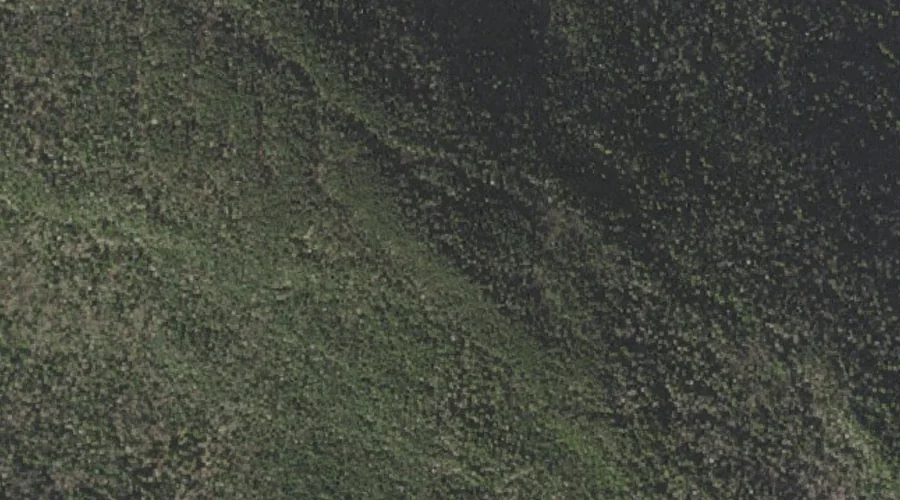
Black Crescent Mountain — Summits 23.9 Miles W of Chapman Inn
Coos County, New Hampshire · USGS Mount Crescent Quadrangle · GNIS 865623
At 3,264 feet of elevation, Black Crescent Mountain rises above Coos County, New Hampshire as a named summit on the USGS Mount Crescent topographic quadrangle — about 23.9 miles west of Chapman Inn in Bethel, Maine.
Wikidata short description: “mountain in United States of America”
Landmark Profile
Classification & USGS reference
The USGS Mount Crescent 7.5-minute topographic quadrangle places Black Crescent Mountain in Coos County, New Hampshire (FIPS 33/007), classified as a summit in the federal GNIS (Feature ID 865623). Last revised by the Board on Geographic Names on 11/18/2020.
Coordinates & physical setting
Black Crescent Mountain sits at 44.43969° N, 71.27053° W (DMS 44°26′23″ N, 71°16′14″ W).
Dimensions & elevation
- Summit elevation 3,264 ft / 995 m — a challenging elevation for day hikes.
Other summits in Coos County, New Hampshire
Coos County, NH contains 226 summits catalogued in the USGS Geographic Names Information System, counting Black Crescent Mountain itself. The ones closest to Black Crescent Mountain:
| Feature | USGS Quadrangle | Elevation | Distance |
|---|---|---|---|
| Sugar Mountain | Berlin | — | 1.8 mi |
| Mount Crescent | Mount Crescent | 3,251 ft | 2.7 mi |
| Jericho Mountain | Berlin | — | 3 mi |
| Mount Forest | Berlin | — | 4.1 mi |
| Mount Randolph | Mount Crescent | — | 4.2 mi |
| Pond Hill | Mount Crescent | — | 4.4 mi |
| Mount Jasper | Berlin | — | 5 mi |
| Mount Carberry | Berlin | — | 5.3 mi |
| Leadmine Ledge | Berlin | — | 5.3 mi |
| Mount Weeks | Jefferson | 3,901 ft | 5.7 mi |
Features on the USGS Mount Crescent Quadrangle
The Mount Crescent 7.5-minute topographic quadrangle holds 23 catalogued natural features alongside Black Crescent Mountain. A sampling nearest to this location:
| Feature | Type | County | Offset |
|---|---|---|---|
| Crescent Range | Ranges | Coos County, NH | 0 mi |
| Hunters Pass | Gaps | Coos County, NH | 1.6 mi |
| Ice Gulch | Valleys | Coos County, NH | 1.6 mi |
| Peboamauk Fall | Waterfalls | Coos County, NH | 1.7 mi |
| Mount Crescent | Summits | Coos County, NH | 2.7 mi |
| Stony Brook | Streams | Coos County, NH | 3.2 mi |
| Bend Brook | Streams | Coos County, NH | 3.2 mi |
| Carlton Notch | Gaps | Coos County, NH | 3.2 mi |
| Keenan Brook | Streams | Coos County, NH | 3.2 mi |
| Spruce Brook | Streams | Coos County, NH | 3.3 mi |
Ranking & rarity
- Black Crescent Mountain is #16 of 19 summits with recorded elevation in Coos County, New Hampshire.
- Among the 1280 summits catalogued within 80 km of Chapman Inn, Black Crescent Mountain ranks #436 by proximity to the Inn (closer than 66%).
Historical record
The U.S. Board on Geographic Names recorded a Official (Board Decision) on January 1, 1936 for this name.
Black Crescent Mountain is a mountain in the Crescent Range of the White Mountains, 4.4 miles (7.1 km) north of Randolph and 4.7 miles (7.6 km) southwest of Berlin in New Hampshire. The summit is on the eastern boundary of the White Mountain National Forest. Open the Wikipedia article →
Visiting from Chapman Inn
Distance, bearing & drive time
Chapman Inn sits 23.9 miles west (bearing W) of Black Crescent Mountain. At moderate back-road speeds the drive runs about 41 minutes — comfortably inside a half-day outing window after breakfast.
Best time to visit
Late June through early October, when the summit is reliably snow-free. Being this far north (lat 44.440°), first snows typically arrive by mid-October and linger into early May — narrow the window accordingly. At 23.9 miles from the Inn, plan on a comfortable day trip with time for lunch on the road. Conditions at Black Crescent Mountain track the nearby Crescent Range (essentially adjacent) closely — if that is runnable, so is this.
Nearest features to Black Crescent Mountain
| Feature | Type | County | Distance |
|---|---|---|---|
| Crescent Range | Ranges | Coos County, NH | 0 mi |
| Hunters Pass | Gaps | Coos County, NH | 1.6 mi |
| Ice Gulch | Valleys | Coos County, NH | 1.6 mi |
| Peboamauk Fall | Waterfalls | Coos County, NH | 1.7 mi |
| Sugar Mountain | Summits | Coos County, NH | 1.8 mi |
Frequently Asked Questions
Where is Black Crescent Mountain located?
Black Crescent Mountain is in Coos County, New Hampshire, approximately 23.9 miles west of Chapman Inn in Bethel, Maine. It appears on the USGS Mount Crescent topographic quadrangle.
How far is Black Crescent Mountain from Chapman Inn?
The drive runs about 41 minutes, 23.9 miles west (bearing W) of the Inn.
What type of natural feature is Black Crescent Mountain?
The U.S. Geological Survey classifies Black Crescent Mountain as a summit, catalogued under GNIS Feature ID 865623 on the Mount Crescent quadrangle.
When is the best time to visit Black Crescent Mountain?
Late June through early October, when the summit is reliably snow-free.
How tall is Black Crescent Mountain?
Black Crescent Mountain rises to 3,264 feet (995 metres) above sea level.
How many other summits are in Coos County, New Hampshire?
GNIS lists 225 other summits in Coos County, New Hampshire.
Wikidata: Q4920605.