 Aerial imagery: USGS National Map (public domain)
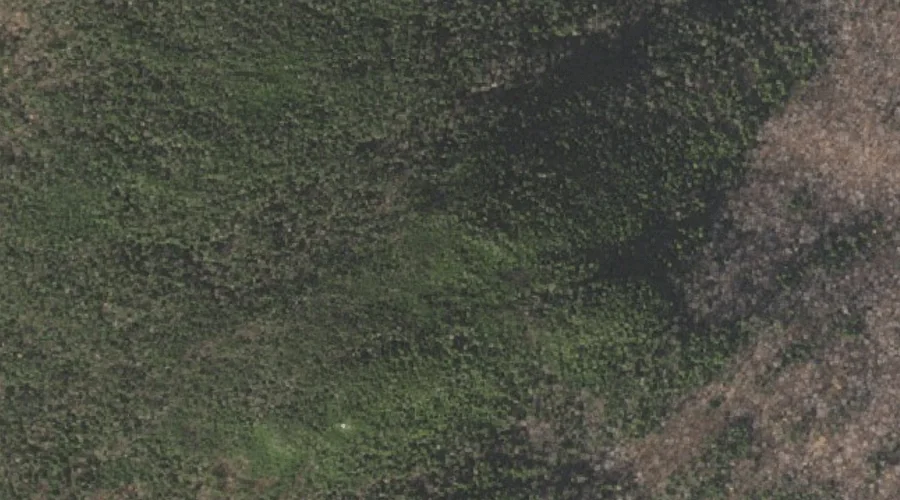
Mount Crescent — Summits 24.9 Miles W of Chapman Inn
Coos County, New Hampshire · USGS Mount Crescent Quadrangle · GNIS 866401
At 3,251 feet of elevation, Mount Crescent rises above Coos County, New Hampshire as a named summit on the USGS Mount Crescent topographic quadrangle — about 24.9 miles west of Chapman Inn in Bethel, Maine.
Wikidata short description: “mountain in United States of America”
Landmark Profile
Classification & USGS reference
Catalogued under GNIS Feature ID 866401, Mount Crescent is recorded as a summit on the USGS Mount Crescent quadrangle in Coos County, New Hampshire (FIPS 33/007). Last revised by the Board on Geographic Names on 11/18/2020.
Coordinates & physical setting
Mount Crescent sits at 44.40422° N, 71.29397° W (DMS 44°24′15″ N, 71°17′38″ W).
Dimensions & elevation
- Summit elevation 3,251 ft / 991 m — a challenging elevation for day hikes.
Other summits in Coos County, New Hampshire
Coos County, NH contains 226 summits catalogued in the USGS Geographic Names Information System, counting Mount Crescent itself. The ones closest to Mount Crescent:
| Feature | USGS Quadrangle | Elevation | Distance |
|---|---|---|---|
| Mount Randolph | Mount Crescent | — | 1.6 mi |
| Black Crescent Mountain | Mount Crescent | 3,264 ft | 2.7 mi |
| Pond Hill | Mount Crescent | — | 3.2 mi |
| Sugar Mountain | Berlin | — | 4.1 mi |
| Pine Mountain | Carter Dome | — | 4.7 mi |
| Pliny Mountain | Jefferson | — | 5 mi |
| Mount Madison | Mount Washington | — | 5.3 mi |
| Boy Mountain | Mount Dartmouth | — | 5.4 mi |
| Mount Abigail Adams | Mount Washington | — | 5.5 mi |
| Mount Quincy Adams | Mount Washington | — | 5.5 mi |
Features on the USGS Mount Crescent Quadrangle
The Mount Crescent 7.5-minute topographic quadrangle holds 23 catalogued natural features alongside Mount Crescent. A sampling nearest to this location:
| Feature | Type | County | Offset |
|---|---|---|---|
| Carlton Notch | Gaps | Coos County, NH | 0.6 mi |
| Hunters Pass | Gaps | Coos County, NH | 1.1 mi |
| Ice Gulch | Valleys | Coos County, NH | 1.4 mi |
| Peboamauk Fall | Waterfalls | Coos County, NH | 1.5 mi |
| Mount Randolph | Summits | Coos County, NH | 1.6 mi |
| Lookout Ledge | Benches | Coos County, NH | 1.7 mi |
| Pond of Safety | Lakes | Coos County, NH | 2.4 mi |
| Crescent Range | Ranges | Coos County, NH | 2.7 mi |
| Black Crescent Mountain | Summits | Coos County, NH | 2.7 mi |
| Pond Hill | Summits | Coos County, NH | 3.2 mi |
Ranking & rarity
- Mount Crescent is #17 of 19 summits with recorded elevation in Coos County, New Hampshire.
- Among the 1280 summits catalogued within 80 km of Chapman Inn, Mount Crescent ranks #460 by proximity to the Inn (closer than 64%).
Historical record
Also known as: Mt. Crescent.
The U.S. Board on Geographic Names recorded a Official (Board Decision) on January 1, 1936 for this name.
Mount Crescent is a mountain located in the Crescent Range of the White Mountains in Randolph, New Hampshire. It is 3,251 ft (991 m) high, and its summit is the second highest mountain summit in Randolph, after Black Crescent Mountain. Both mountains are in Randolph's Ice Gulch Town Forest. On the 1896 topographic map, Mount Crescent is shown as "Randolph Mtn." with an elevation of 3,280 ft, and Black Crescent is shown as "Mt. Crescent" with an elevation of 3,322 ft. More on Wikipedia →
Visiting from Chapman Inn
Distance, bearing & drive time
A 43-minute drive along back roads separates the front door of Chapman Inn from Mount Crescent — 24.9 miles west as the crow flies, on compass bearing W.
Best time to visit
Late June through early October, when the summit is reliably snow-free. Being this far north (lat 44.404°), first snows typically arrive by mid-October and linger into early May — narrow the window accordingly. At 24.9 miles from the Inn, plan on a comfortable day trip with time for lunch on the road. Conditions at Mount Crescent track the nearby Carlton Notch mountain gap (0.6 mi away) closely — if that is runnable, so is this.
Nearest features to Mount Crescent
| Feature | Type | County | Distance |
|---|---|---|---|
| Carlton Notch | Gaps | Coos County, NH | 0.6 mi |
| Hunters Pass | Gaps | Coos County, NH | 1.1 mi |
| Ice Gulch | Valleys | Coos County, NH | 1.4 mi |
| Peboamauk Fall | Waterfalls | Coos County, NH | 1.5 mi |
| Mount Randolph | Summits | Coos County, NH | 1.6 mi |
Frequently Asked Questions
Where is Mount Crescent located?
Mount Crescent is in Coos County, New Hampshire, approximately 24.9 miles west of Chapman Inn in Bethel, Maine. It appears on the USGS Mount Crescent topographic quadrangle.
How far is Mount Crescent from Chapman Inn?
The drive runs about 43 minutes, 24.9 miles west (bearing W) of the Inn.
What type of natural feature is Mount Crescent?
The U.S. Geological Survey classifies Mount Crescent as a summit, catalogued under GNIS Feature ID 866401 on the Mount Crescent quadrangle.
When is the best time to visit Mount Crescent?
Late June through early October, when the summit is reliably snow-free.
How tall is Mount Crescent?
Mount Crescent rises to 3,251 feet (991 metres) above sea level.
What other names has Mount Crescent been known by?
Alternate or historical names on record: Mt. Crescent.
How many other summits are in Coos County, New Hampshire?
GNIS lists 225 other summits in Coos County, New Hampshire.
Wikidata: Q6920290.