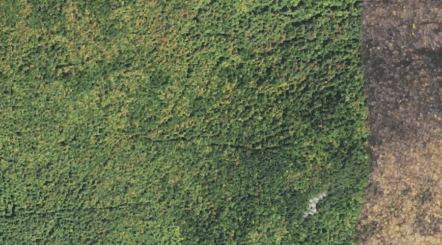
 Aerial imagery: USGS National Map (public domain)
Lookout Ledge — Benches 25.8 Miles W of Chapman Inn
Coos County, New Hampshire · USGS Mount Crescent Quadrangle · GNIS 868153
Catalogued on the USGS Mount Crescent quadrangle in Coos County, New Hampshire, Lookout Ledge — a bench terrace — lies 25.8 miles west of Chapman Inn.
Landmark Profile
Classification & USGS reference
Catalogued under GNIS Feature ID 868153, Lookout Ledge is recorded as a bench terrace on the USGS Mount Crescent quadrangle in Coos County, New Hampshire (FIPS 33/007). Catalogued in GNIS since 08/27/1980.
Coordinates & physical setting
Lookout Ledge sits at 44.38228° N, 71.31119° W (DMS 44°22′56″ N, 71°18′40″ W).
Features on the USGS Mount Crescent Quadrangle
The Mount Crescent 7.5-minute topographic quadrangle holds 23 catalogued natural features alongside Lookout Ledge. A sampling nearest to this location:
| Feature | Type | County | Offset |
|---|---|---|---|
| Mount Randolph | Summits | Coos County, NH | 0.5 mi |
| Carlton Notch | Gaps | Coos County, NH | 1.3 mi |
| Mount Crescent | Summits | Coos County, NH | 1.7 mi |
| Pond of Safety | Lakes | Coos County, NH | 2.4 mi |
| Hunters Pass | Gaps | Coos County, NH | 2.9 mi |
| Ice Gulch | Valleys | Coos County, NH | 3.1 mi |
| Peboamauk Fall | Waterfalls | Coos County, NH | 3.1 mi |
| Pond Hill | Summits | Coos County, NH | 3.3 mi |
| Crescent Range | Ranges | Coos County, NH | 4.4 mi |
| Black Crescent Mountain | Summits | Coos County, NH | 4.4 mi |
Visiting from Chapman Inn
Distance, bearing & drive time
A 44-minute drive along back roads separates the front door of Chapman Inn from Lookout Ledge — 25.8 miles west as the crow flies, on compass bearing W.
Best time to visit
Generally accessible May through October; winter access depends on snow cover. Being this far north (lat 44.382°), first snows typically arrive by mid-October and linger into early May — narrow the window accordingly. At 25.8 miles from the Inn, block the full day — sunrise start, late return, packed meals. Conditions at Lookout Ledge track the nearby Mount Randolph summit (0.5 mi away) closely — if that is runnable, so is this.
Nearest features to Lookout Ledge
| Feature | Type | County | Distance |
|---|---|---|---|
| Mount Randolph | Summits | Coos County, NH | 0.5 mi |
| Cold Brook | Streams | Coos County, NH | 0.8 mi |
| Carlton Notch | Gaps | Coos County, NH | 1.3 mi |
| Snyder Brook | Streams | Coos County, NH | 1.4 mi |
| Mount Crescent | Summits | Coos County, NH | 1.7 mi |
Frequently Asked Questions
Where is Lookout Ledge located?
Lookout Ledge is in Coos County, New Hampshire, approximately 25.8 miles west of Chapman Inn in Bethel, Maine. It appears on the USGS Mount Crescent topographic quadrangle.
How far is Lookout Ledge from Chapman Inn?
The drive runs about 44 minutes, 25.8 miles west (bearing W) of the Inn.
What type of natural feature is Lookout Ledge?
The U.S. Geological Survey classifies Lookout Ledge as a bench terrace, catalogued under GNIS Feature ID 868153 on the Mount Crescent quadrangle.
When is the best time to visit Lookout Ledge?
Generally accessible May through October; winter access depends on snow cover.
Wikidata: Q49172858.