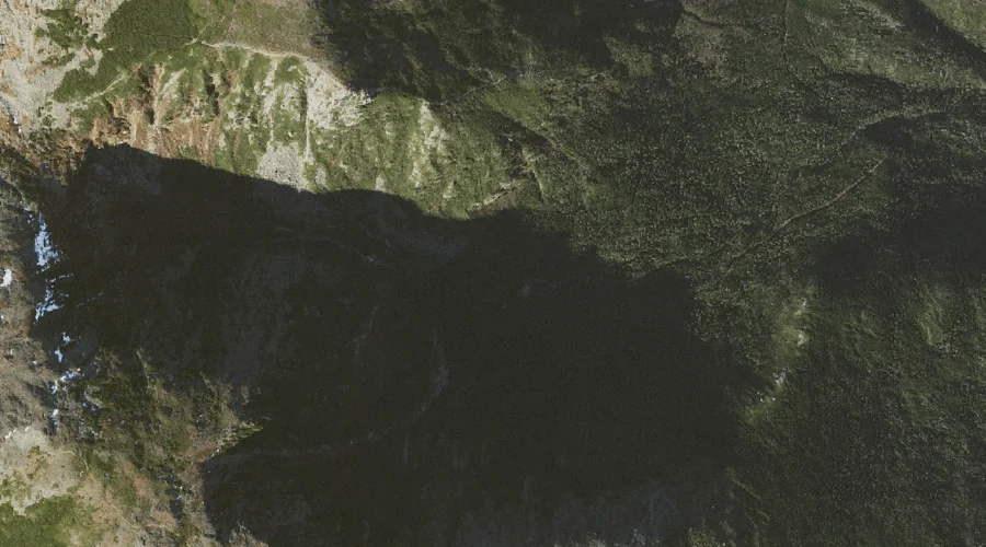
Alpine Gardens is a natural feature in Coos County, New Hampshire, located about 26.6 miles west-southwest of Chapman Inn in Bethel, Maine. It appears on the USGS Mount…
Hermit Lake is a lake in Coos County, New Hampshire, located about 26.6 miles west-southwest of Chapman Inn in Bethel, Maine. It appears on the USGS Mount Washington…
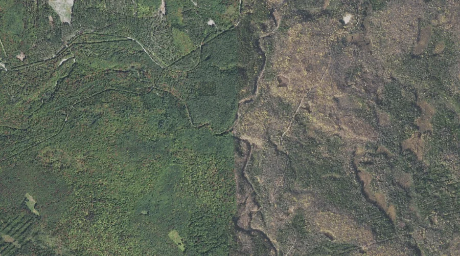
West Branch Upper Ammonoosuc River is a stream in Coos County, New Hampshire, located about 26.4 miles west-northwest of Chapman Inn in Bethel, Maine. It appears on the…
Bog Brook is a stream in Coos County, New Hampshire, located about 26.4 miles northwest of Chapman Inn in Bethel, Maine. It appears on the USGS Teakettle Ridge…
Big Island is a island in Coos County, New Hampshire, located about 26.4 miles north-northwest of Chapman Inn in Bethel, Maine. It appears on the USGS Umbagog Lake…
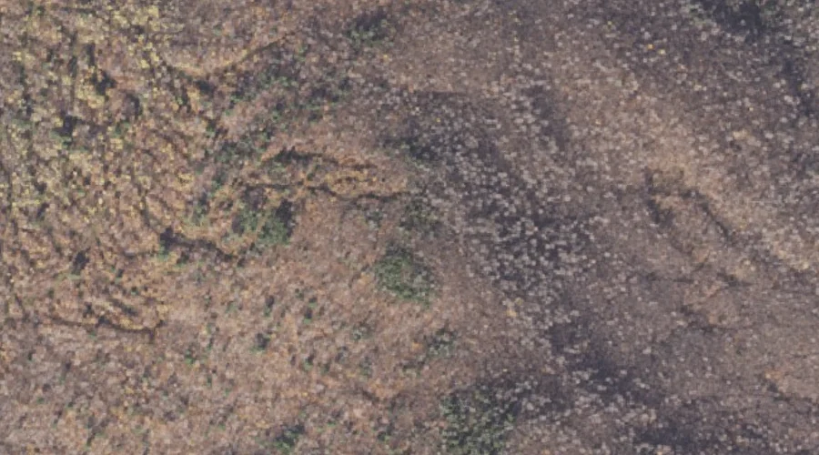
Double Top Mountain is a summit in Coos County, New Hampshire, located about 26.4 miles northwest of Chapman Inn in Bethel, Maine. It appears on the USGS Teakettle…
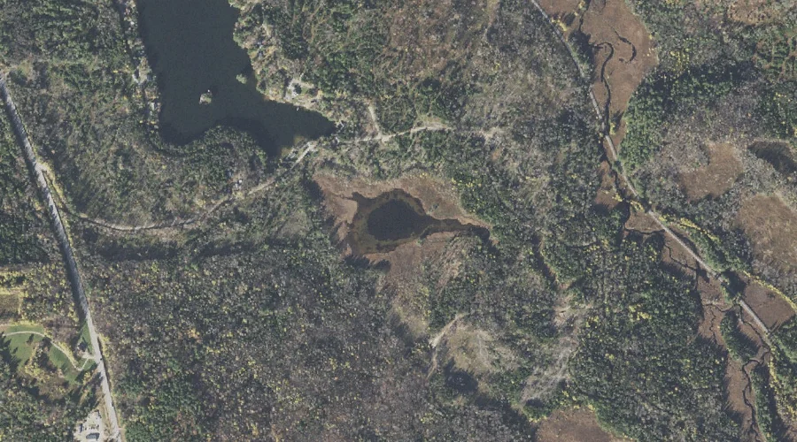
Mud Pond is a lake in Coos County, New Hampshire, located about 26.4 miles west-northwest of Chapman Inn in Bethel, Maine. It appears on the USGS West Milan…
Robbins Brook is a stream in Coos County, New Hampshire, located about 26.5 miles west-northwest of Chapman Inn in Bethel, Maine. It appears on the USGS Milan topographic…
Bend Brook is a stream in Coos County, New Hampshire, located about 26.5 miles west of Chapman Inn in Bethel, Maine. It appears on the USGS Mount Crescent…
Blake Island is a island in Coos County, New Hampshire, located about 26.3 miles north-northwest of Chapman Inn in Bethel, Maine. It appears on the USGS Umbagog Lake…