 Aerial imagery: USGS National Map (public domain)
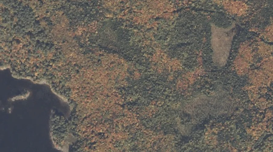
Tidswell Point — Capes 25.8 Miles NNW of Chapman Inn
Coos County, New Hampshire · USGS Umbagog Lake South Quadrangle · GNIS 870437
Within Coos County, New Hampshire, on the USGS Umbagog Lake South quadrangle, the cape known as Tidswell Point sits 25.8 miles north-northwest of Chapman Inn.
Landmark Profile
Classification & USGS reference
Within Coos County, New Hampshire, the U.S. Geological Survey lists Tidswell Point as a cape on the Umbagog Lake South topographic quadrangle (FIPS 33/007), under Feature ID 870437. Catalogued in GNIS since 08/27/1980.
Coordinates & physical setting
Tidswell Point sits at 44.72950° N, 71.04924° W (DMS 44°43′46″ N, 71°02′57″ W).
Features on the USGS Umbagog Lake South Quadrangle
The Umbagog Lake South 7.5-minute topographic quadrangle holds 16 catalogued natural features alongside Tidswell Point. A sampling nearest to this location:
| Feature | Type | County | Offset |
|---|---|---|---|
| Blake Island | Islands | Coos County, NH | 0.4 mi |
| Bear Island | Islands | Coos County, NH | 0.7 mi |
| Big Island | Islands | Coos County, NH | 1 mi |
| Metallak Island | Islands | Coos County, NH | 1.1 mi |
| Tyler Cove | Bays | Oxford County, ME | 1.4 mi |
| Tyler Brook | Streams | Oxford County, ME | 1.5 mi |
| Sargent Cove | Bays | Coos County, NH | 1.6 mi |
| Thurston Cove | Bays | Coos County, NH | 1.8 mi |
| Dead Cambridge River | Streams | Oxford County, ME | 2 mi |
| Hampshire Hills | Summits | Coos County, NH | 3.1 mi |
Visiting from Chapman Inn
Distance, bearing & drive time
Follow the compass bearing NNW out of Bethel for 25.8 miles (north-northwest) and you reach Tidswell Point; at typical rural speeds the trip runs roughly 44 minutes.
Best time to visit
Generally accessible May through October; winter access depends on snow cover. Being this far north (lat 44.729°), first snows typically arrive by mid-October and linger into early May — narrow the window accordingly. At 25.8 miles from the Inn, block the full day — sunrise start, late return, packed meals. Conditions at Tidswell Point track the nearby Blake Island (0.4 mi away) closely — if that is runnable, so is this.
Nearest features to Tidswell Point
| Feature | Type | County | Distance |
|---|---|---|---|
| Blake Island | Islands | Coos County, NH | 0.4 mi |
| Bear Island | Islands | Coos County, NH | 0.7 mi |
| Big Island | Islands | Coos County, NH | 1 mi |
| Metallak Island | Islands | Coos County, NH | 1.1 mi |
| Tyler Cove | Bays | Oxford County, ME | 1.4 mi |
Frequently Asked Questions
Where is Tidswell Point located?
Tidswell Point is in Coos County, New Hampshire, approximately 25.8 miles north-northwest of Chapman Inn in Bethel, Maine. It appears on the USGS Umbagog Lake South topographic quadrangle.
How far is Tidswell Point from Chapman Inn?
The drive runs about 44 minutes, 25.8 miles north-northwest (bearing NNW) of the Inn.
What type of natural feature is Tidswell Point?
The U.S. Geological Survey classifies Tidswell Point as a cape, catalogued under GNIS Feature ID 870437 on the Umbagog Lake South quadrangle.
When is the best time to visit Tidswell Point?
Generally accessible May through October; winter access depends on snow cover.