Lord Brook is a stream in Coos County, New Hampshire, located about 28.2 miles northwest of Chapman Inn in Bethel, Maine. It appears on the USGS Teakettle Ridge…
Mount Monroe is a summit in Coos County, New Hampshire, located about 28.3 miles west-southwest of Chapman Inn in Bethel, Maine. It appears on the USGS Mount Washington…
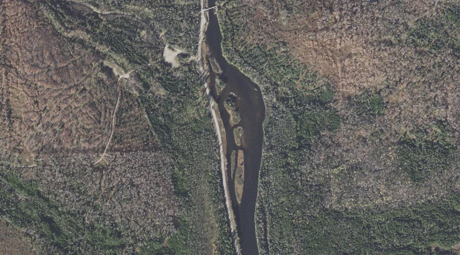
Seven Islands is a island in Coos County, New Hampshire, located about 28.3 miles northwest of Chapman Inn in Bethel, Maine. It appears on the USGS Teakettle Ridge…
Spring Brook is a stream in Coos County, New Hampshire, located about 28.3 miles west-northwest of Chapman Inn in Bethel, Maine. It appears on the USGS Mount Crescent…
Deer Ridge is a ridge in Coos County, New Hampshire, located about 28.3 miles west-northwest of Chapman Inn in Bethel, Maine. It appears on the USGS West Milan…
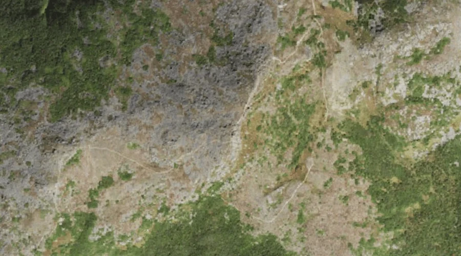
Engine Hill is a summit in Coos County, New Hampshire, located about 28.1 miles west-southwest of Chapman Inn in Bethel, Maine. It appears on the USGS Stairs Mountain…
Montalban Ridge is a ridge in Coos County, New Hampshire, located about 28.1 miles west-southwest of Chapman Inn in Bethel, Maine. It appears on the USGS Stairs Mountain…
Higgins Brook is a stream in Coos County, New Hampshire, located about 28.2 miles west-northwest of Chapman Inn in Bethel, Maine. It appears on the USGS West Milan…
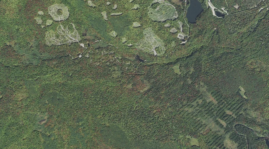
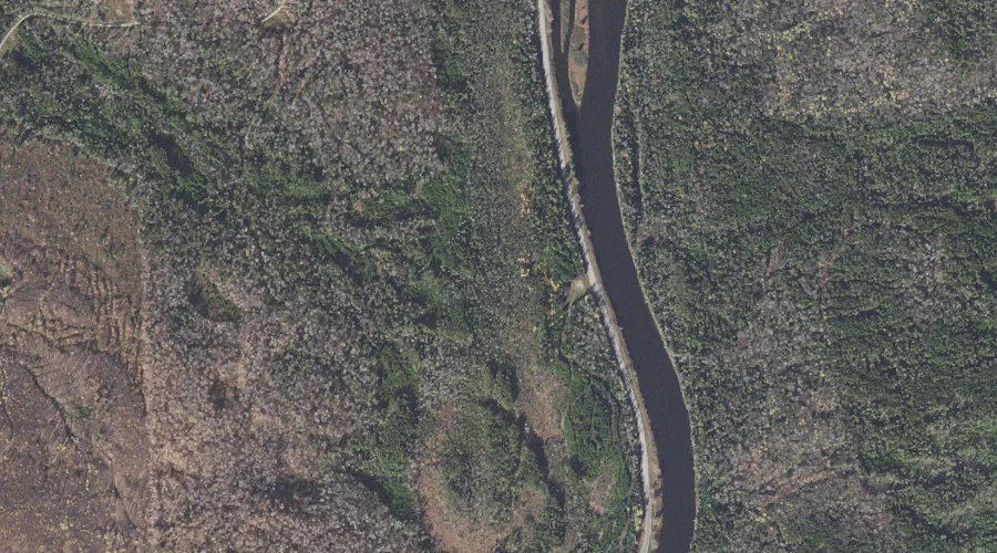
Thirteen Mile Woods is a natural feature in Coos County, New Hampshire, located about 28.0 miles northwest of Chapman Inn in Bethel, Maine. It appears on the USGS…
Lakes of the Clouds is a lake in Coos County, New Hampshire, located about 28.0 miles west-southwest of Chapman Inn in Bethel, Maine. It appears on the USGS…