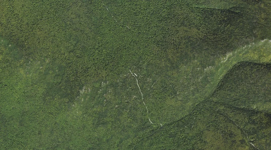
Dummer Hill is a summit in Coos County, New Hampshire, located about 29.3 miles west-northwest of Chapman Inn in Bethel, Maine. It appears on the USGS Dummer Ponds…
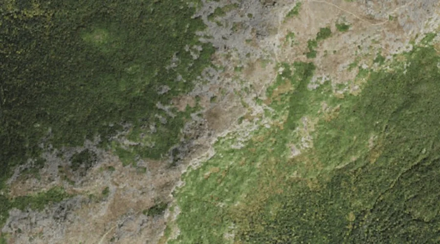
Square Mountain is a summit in Coos County, New Hampshire, located about 29.3 miles west-northwest of Chapman Inn in Bethel, Maine. It appears on the USGS West Milan…
Errol Hill is a summit in Coos County, New Hampshire, located about 29.4 miles north-northwest of Chapman Inn in Bethel, Maine. It appears on the USGS Umbagog Lake…
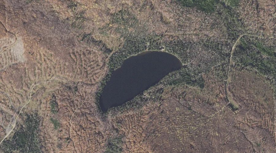
Desolation Pond is a lake in Coos County, New Hampshire, located about 29.2 miles west-southwest of Chapman Inn in Bethel, Maine. It appears on the USGS Stairs Mountain…
Mount Isolation is a summit in Coos County, New Hampshire, located about 28.9 miles west-southwest of Chapman Inn in Bethel, Maine. It rises to 4,003 feet above sea…
Jefferson Notch is a mountain gap in Coos County, New Hampshire, located about 28.9 miles west-southwest of Chapman Inn in Bethel, Maine. It appears on the USGS Mount…
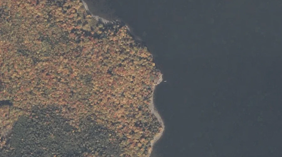
Sessions Pond is a lake in Coos County, New Hampshire, located about 28.9 miles northwest of Chapman Inn in Bethel, Maine. It appears on the USGS Teakettle Ridge…
Pininsula Molls Rock is a rock pillar in Coos County, New Hampshire, located about 28.9 miles north-northwest of Chapman Inn in Bethel, Maine. It appears on the USGS…
Pond Brook is a stream in Coos County, New Hampshire, located about 28.6 miles west-northwest of Chapman Inn in Bethel, Maine. It appears on the USGS West Milan…
Mount Franklin is a summit in Coos County, New Hampshire, located about 28.7 miles west-southwest of Chapman Inn in Bethel, Maine. It appears on the USGS Mount Washington…