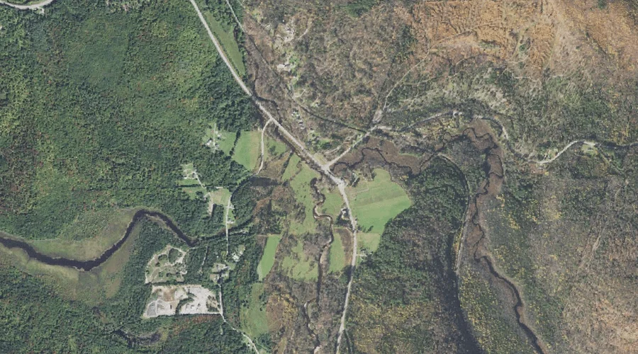
Pond Brook is a stream in Coos County, New Hampshire, located about 28.8 miles northwest of Chapman Inn in Bethel, Maine. It appears on the USGS Dummer Ponds…
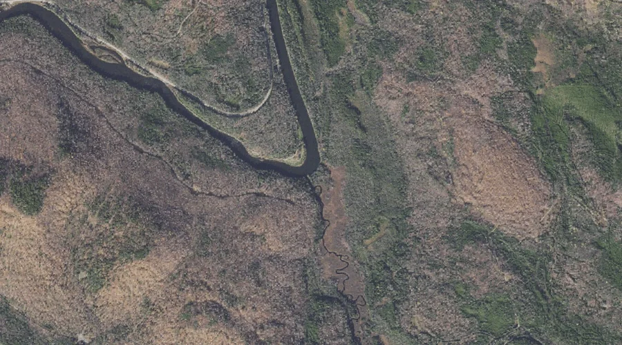
Mollidgewock Brook is a stream in Coos County, New Hampshire, located about 28.8 miles northwest of Chapman Inn in Bethel, Maine. It appears on the USGS Teakettle Ridge…
Pond Hill is a summit in Coos County, New Hampshire, located about 28.4 miles northwest of Chapman Inn in Bethel, Maine. It appears on the USGS Teakettle Ridge…
Cummings Mountain is a summit in Coos County, New Hampshire, located about 28.4 miles west-northwest of Chapman Inn in Bethel, Maine. It appears on the USGS West Milan…
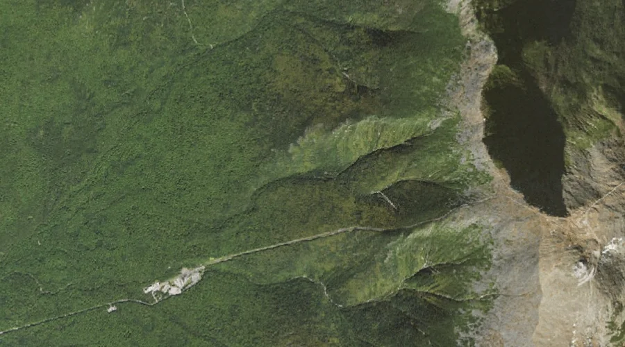
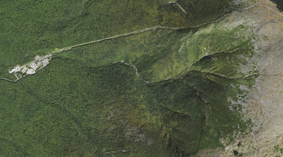
Burt Ravine is a valley in Coos County, New Hampshire, located about 28.4 miles west-southwest of Chapman Inn in Bethel, Maine. It appears on the USGS Mount Washington…
Greens Ledge is a bench terrace in Coos County, New Hampshire, located about 28.5 miles west-northwest of Chapman Inn in Bethel, Maine. It appears on the USGS West…
North Branch Upper Ammonoosuc River is a stream in Coos County, New Hampshire, located about 28.5 miles west-northwest of Chapman Inn in Bethel, Maine. It appears on the…
Mill Mountain is a summit in Coos County, New Hampshire, located about 28.5 miles north-northwest of Chapman Inn in Bethel, Maine. It appears on the USGS Umbagog Lake…
Monroe Brook is a stream in Coos County, New Hampshire, located about 28.6 miles west-southwest of Chapman Inn in Bethel, Maine. It appears on the USGS Mount Washington…
Mount Monroe is a summit in Coos County, New Hampshire, located about 28.3 miles west-southwest of Chapman Inn in Bethel, Maine. It appears on the USGS Mount Washington…