Deer Mountain is a summit in Coos County, New Hampshire, located about 27.7 miles west-northwest of Chapman Inn in Bethel, Maine. It appears on the USGS West Milan…
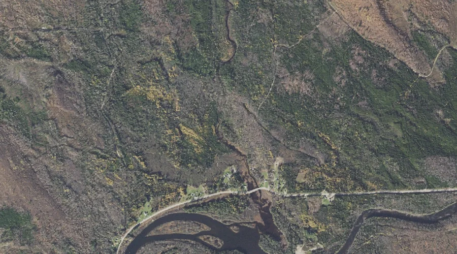
Bear Brook is a stream in Coos County, New Hampshire, located about 27.5 miles northwest of Chapman Inn in Bethel, Maine. It appears on the USGS Teakettle Ridge…
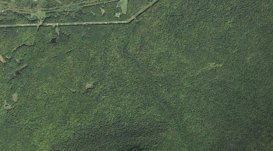
Goose Pond is a swamp in Coos County, New Hampshire, located about 27.6 miles northwest of Chapman Inn in Bethel, Maine. It appears on the USGS Teakettle Ridge…
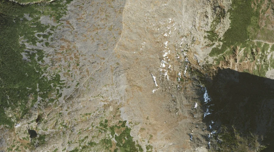
The Mystic is a stream in Coos County, New Hampshire, located about 27.7 miles west of Chapman Inn in Bethel, Maine. It appears on the USGS Mount Washington…
Sessions Brook is a stream in Coos County, New Hampshire, located about 27.7 miles northwest of Chapman Inn in Bethel, Maine. It appears on the USGS Teakettle Ridge…
Castle Brook is a stream in Coos County, New Hampshire, located about 27.3 miles west of Chapman Inn in Bethel, Maine. It appears on the USGS Mount Washington…
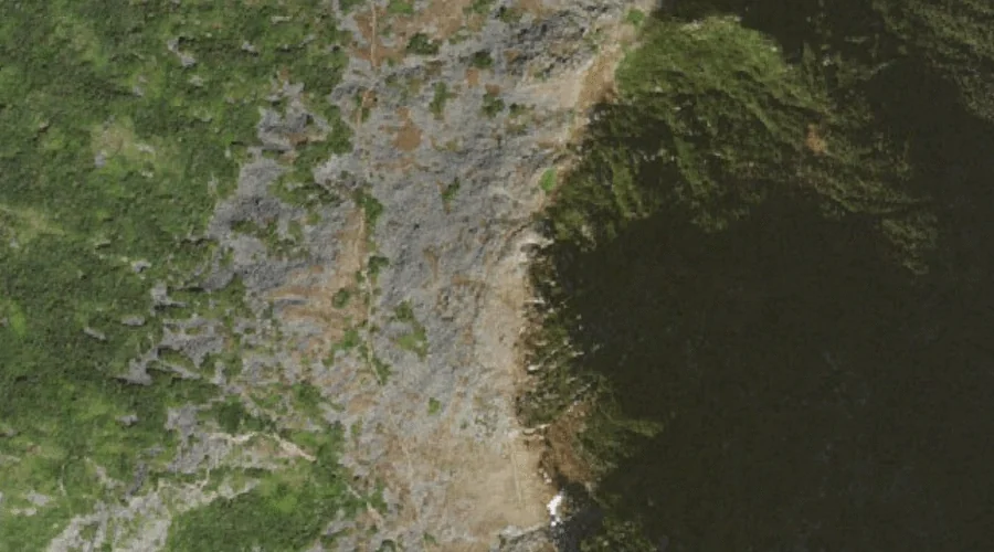
Mount Clay is a summit in Coos County, New Hampshire, located about 27.3 miles west-southwest of Chapman Inn in Bethel, Maine. It appears on the USGS Mount Washington…
Bigelow Lawn is a natural feature in Coos County, New Hampshire, located about 27.4 miles west-southwest of Chapman Inn in Bethel, Maine. It appears on the USGS Mount…
Newell Brook is a stream in Coos County, New Hampshire, located about 27.5 miles northwest of Chapman Inn in Bethel, Maine. It appears on the USGS Teakettle Ridge…
Wentworth Island is a island in Coos County, New Hampshire, located about 27.5 miles northwest of Chapman Inn in Bethel, Maine. It appears on the USGS Teakettle Ridge…