 Aerial imagery: USGS National Map (public domain)
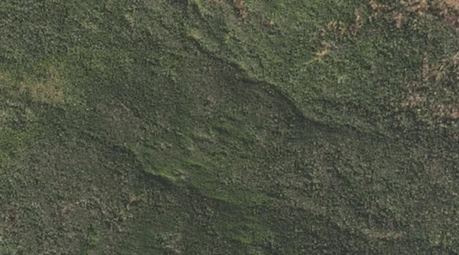
Engine Hill — Summits 28.1 Miles WSW of Chapman Inn
Coos County, New Hampshire · USGS Stairs Mountain Quadrangle · GNIS 871865
Within Coos County, New Hampshire, on the USGS Stairs Mountain quadrangle, the summit known as Engine Hill sits 28.1 miles west-southwest of Chapman Inn.
Wikidata short description: “mountain in United States of America”
Landmark Profile
Classification & USGS reference
Within Coos County, New Hampshire, the U.S. Geological Survey lists Engine Hill as a summit on the Stairs Mountain topographic quadrangle (FIPS 33/007), under Feature ID 871865. Last revised by the Board on Geographic Names on 08/05/2021.
Coordinates & physical setting
Engine Hill sits at 44.20145° N, 71.28063° W (DMS 44°12′05″ N, 71°16′50″ W).
Other summits in Coos County, New Hampshire
Coos County, NH contains 226 summits catalogued in the USGS Geographic Names Information System, counting Engine Hill itself. The ones closest to Engine Hill:
| Feature | USGS Quadrangle | Elevation | Distance |
|---|---|---|---|
| Mount Davis | Stairs Mountain | 3,819 ft | 1.5 mi |
| Mount Isolation | Stairs Mountain | 4,003 ft | 1.7 mi |
| Gulf Peak | Stairs Mountain | — | 2.8 mi |
| Boott Spur | Mount Washington | — | 3.6 mi |
| Stairs Mountain | Stairs Mountain | — | 3.7 mi |
| Mount Resolution | Stairs Mountain | — | 4.1 mi |
| Mount Franklin | Mount Washington | — | 4.2 mi |
| Mount Monroe | Mount Washington | — | 4.2 mi |
| Mount Eisenhower | Stairs Mountain | — | 4.4 mi |
| Mount Pierce | Stairs Mountain | 4,311 ft | 4.6 mi |
Features on the USGS Stairs Mountain Quadrangle
The Stairs Mountain 7.5-minute topographic quadrangle holds 28 catalogued natural features alongside Engine Hill. A sampling nearest to this location:
| Feature | Type | County | Offset |
|---|---|---|---|
| Mount Davis | Summits | Coos County, NH | 1.5 mi |
| Mount Isolation | Summits | Coos County, NH | 1.7 mi |
| Montalban Ridge | Ridges | Coos County, NH | 2.4 mi |
| Glen Boulder | Pillars | Coos County, NH | 2.5 mi |
| Rocky Branch Ridge | Ridges | Coos County, NH | 2.5 mi |
| Maple Mountain | Summits | Carroll County, NH | 2.6 mi |
| Upper Stairs Brook | Streams | Coos County, NH | 2.7 mi |
| Gulf Peak | Summits | Coos County, NH | 2.8 mi |
| Gulf of Slides | Valleys | Coos County, NH | 3.1 mi |
| Glen Ellis Falls | Waterfalls | Coos County, NH | 3.3 mi |
Visiting from Chapman Inn
Distance, bearing & drive time
Follow the compass bearing WSW out of Bethel for 28.1 miles (west-southwest) and you reach Engine Hill; at typical rural speeds the trip runs roughly 48 minutes.
Best time to visit
Accessible May through November in most years. Being this far north (lat 44.201°), first snows typically arrive by mid-October and linger into early May — narrow the window accordingly. At 28.1 miles from the Inn, block the full day — sunrise start, late return, packed meals. Conditions at Engine Hill track the nearby Mount Davis summit (1.5 mi away) closely — if that is runnable, so is this.
Nearest features to Engine Hill
| Feature | Type | County | Distance |
|---|---|---|---|
| Mount Davis | Summits | Coos County, NH | 1.5 mi |
| Mount Isolation | Summits | Coos County, NH | 1.7 mi |
| Montalban Ridge | Ridges | Coos County, NH | 2.4 mi |
| Glen Boulder | Pillars | Coos County, NH | 2.5 mi |
| Rocky Branch Ridge | Ridges | Coos County, NH | 2.5 mi |
Frequently Asked Questions
Where is Engine Hill located?
Engine Hill is in Coos County, New Hampshire, approximately 28.1 miles west-southwest of Chapman Inn in Bethel, Maine. It appears on the USGS Stairs Mountain topographic quadrangle.
How far is Engine Hill from Chapman Inn?
The drive runs about 48 minutes, 28.1 miles west-southwest (bearing WSW) of the Inn.
What type of natural feature is Engine Hill?
The U.S. Geological Survey classifies Engine Hill as a summit, catalogued under GNIS Feature ID 871865 on the Stairs Mountain quadrangle.
When is the best time to visit Engine Hill?
Accessible May through November in most years.
How many other summits are in Coos County, New Hampshire?
GNIS lists 225 other summits in Coos County, New Hampshire.
Wikidata: Q34867782.