 Aerial imagery: USGS National Map (public domain)
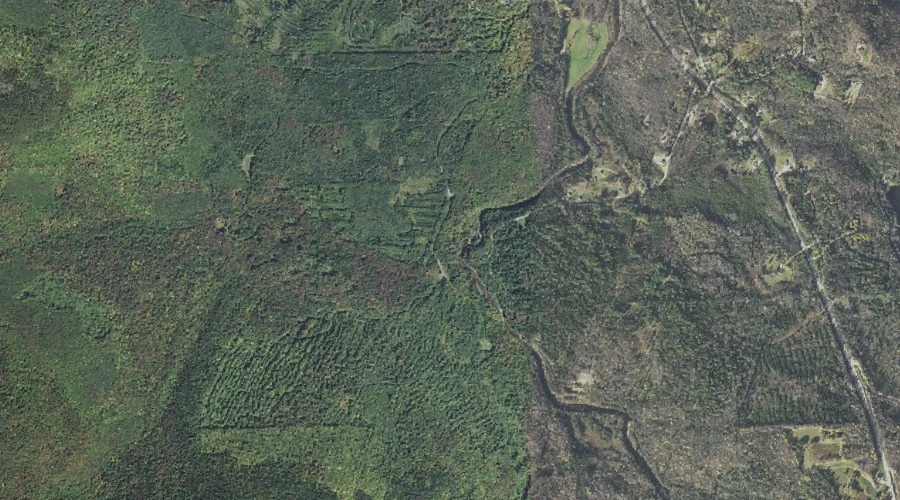
Higgins Brook — Streams 28.2 Miles WNW of Chapman Inn
Coos County, New Hampshire · USGS West Milan Quadrangle · GNIS 867478
Catalogued on the USGS West Milan quadrangle in Coos County, New Hampshire, Higgins Brook — a stream — lies 28.2 miles west-northwest of Chapman Inn.
Landmark Profile
Classification & USGS reference
Catalogued under GNIS Feature ID 867478, Higgins Brook is recorded as a stream on the USGS West Milan quadrangle in Coos County, New Hampshire (FIPS 33/007). Catalogued in GNIS since 08/27/1980.
Coordinates & physical setting
Higgins Brook sits at 44.57089° N, 71.31064° W (DMS 44°34′15″ N, 71°18′38″ W).
As a linear feature its source lies near 44.56139° N, 71.35500° W (DMS 44°33′41″ N, 71°21′18″ W) — useful for anglers and paddlers tracing the upstream end.
Other streams in Coos County, New Hampshire
Coos County, NH contains 300 streams catalogued in the USGS Geographic Names Information System, counting Higgins Brook itself. The ones closest to Higgins Brook:
| Feature | USGS Quadrangle | Distance |
|---|---|---|
| North Branch Upper Ammonoosuc River | West Milan | 1.7 mi |
| Pond Brook | West Milan | 1.7 mi |
| Cedar Brook | West Milan | 1.8 mi |
| Fifield Brook | West Milan | 1.9 mi |
| Cold Stream | West Milan | 2.6 mi |
| Cold Brook | West Milan | 2.7 mi |
| Devils Hopyard Stream | West Milan | 2.8 mi |
| Fogg Brook | West Milan | 2.8 mi |
| Phillips Brook | West Milan | 3.3 mi |
| Betty Brook | West Milan | 4 mi |
Features on the USGS West Milan Quadrangle
The West Milan 7.5-minute topographic quadrangle holds 32 catalogued natural features alongside Higgins Brook. A sampling nearest to this location:
| Feature | Type | County | Offset |
|---|---|---|---|
| Greens Ledge | Benches | Coos County, NH | 1.2 mi |
| Nay Pond | Lakes | Coos County, NH | 1.4 mi |
| Chandler Ledge | Summits | Coos County, NH | 1.6 mi |
| North Branch Upper Ammonoosuc River | Streams | Coos County, NH | 1.7 mi |
| Pond Brook | Streams | Coos County, NH | 1.7 mi |
| Mud Pond | Lakes | Coos County, NH | 1.8 mi |
| Cedar Brook | Streams | Coos County, NH | 1.8 mi |
| Fifield Brook | Streams | Coos County, NH | 1.9 mi |
| Square Mountain | Summits | Coos County, NH | 1.9 mi |
| Hodgdon Hill | Summits | Coos County, NH | 2 mi |
Visiting from Chapman Inn
Distance, bearing & drive time
A 48-minute drive along back roads separates the front door of Chapman Inn from Higgins Brook — 28.2 miles west-northwest as the crow flies, on compass bearing WNW.
Best time to visit
Best observed in late spring and early summer when flow is strong and banks are visible. Being this far north (lat 44.571°), first snows typically arrive by mid-October and linger into early May — narrow the window accordingly. At 28.2 miles from the Inn, block the full day — sunrise start, late return, packed meals. Conditions at Higgins Brook track the nearby Greens Ledge bench terrace (1.2 mi away) closely — if that is runnable, so is this.
Nearest features to Higgins Brook
| Feature | Type | County | Distance |
|---|---|---|---|
| Greens Ledge | Benches | Coos County, NH | 1.2 mi |
| Nay Pond | Lakes | Coos County, NH | 1.4 mi |
| Chandler Ledge | Summits | Coos County, NH | 1.6 mi |
| North Branch Upper Ammonoosuc River | Streams | Coos County, NH | 1.7 mi |
| Pond Brook | Streams | Coos County, NH | 1.7 mi |
Frequently Asked Questions
Where is Higgins Brook located?
Higgins Brook is in Coos County, New Hampshire, approximately 28.2 miles west-northwest of Chapman Inn in Bethel, Maine. It appears on the USGS West Milan topographic quadrangle.
How far is Higgins Brook from Chapman Inn?
The drive runs about 48 minutes, 28.2 miles west-northwest (bearing WNW) of the Inn.
What type of natural feature is Higgins Brook?
The U.S. Geological Survey classifies Higgins Brook as a stream, catalogued under GNIS Feature ID 867478 on the West Milan quadrangle.
When is the best time to visit Higgins Brook?
Best observed in late spring and early summer when flow is strong and banks are visible.
How many other streams are in Coos County, New Hampshire?
GNIS lists 299 other streams in Coos County, New Hampshire.