 Aerial imagery: USGS National Map (public domain)
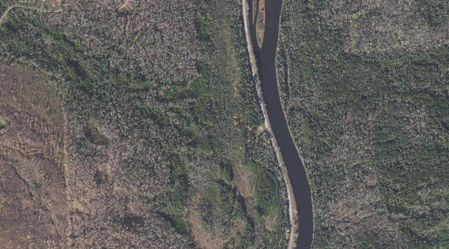
Thirteen Mile Woods — Other Natural Features 28.0 Miles NW of Chapman Inn
Coos County, New Hampshire · USGS Teakettle Ridge Quadrangle · GNIS 870412
Catalogued on the USGS Teakettle Ridge quadrangle in Coos County, New Hampshire, Thirteen Mile Woods — a natural feature — lies 28.0 miles northwest of Chapman Inn.
Landmark Profile
Classification & USGS reference
Catalogued under GNIS Feature ID 870412, Thirteen Mile Woods is recorded as a natural feature on the USGS Teakettle Ridge quadrangle in Coos County, New Hampshire (FIPS 33/007). Catalogued in GNIS since 08/27/1980.
Coordinates & physical setting
Thirteen Mile Woods sits at 44.70283° N, 71.17397° W (DMS 44°42′10″ N, 71°10′26″ W).
Other other natural features in Coos County, New Hampshire
Coos County, NH contains 6 other natural features catalogued in the USGS Geographic Names Information System, counting Thirteen Mile Woods itself. The ones closest to Thirteen Mile Woods:
| Feature | USGS Quadrangle | Distance |
|---|---|---|
| The Flume | Dixville Notch | 12.1 mi |
| Monahans Bathtub | Wilsons Mills | 16 mi |
| Alpine Gardens | Mount Washington | 30.4 mi |
| Bigelow Lawn | Mount Washington | 31.1 mi |
| Giant Stairs | Stairs Mountain | 38.7 mi |
Features on the USGS Teakettle Ridge Quadrangle
The Teakettle Ridge 7.5-minute topographic quadrangle holds 26 catalogued natural features alongside Thirteen Mile Woods. A sampling nearest to this location:
| Feature | Type | County | Offset |
|---|---|---|---|
| Seven Islands | Islands | Coos County, NH | 0.5 mi |
| Bear Brook | Streams | Coos County, NH | 0.5 mi |
| Pond Hill | Summits | Coos County, NH | 1 mi |
| Sessions Pond | Lakes | Coos County, NH | 1.2 mi |
| Sugar Hill | Summits | Coos County, NH | 1.7 mi |
| Double Top Mountain | Summits | Coos County, NH | 1.7 mi |
| Munn Pond | Lakes | Coos County, NH | 2.2 mi |
| Jackknife Hill | Summits | Coos County, NH | 2.3 mi |
| Teakettle Ridge | Ridges | Coos County, NH | 2.3 mi |
| Deer Mountain | Summits | Coos County, NH | 2.4 mi |
Visiting from Chapman Inn
Distance, bearing & drive time
A 48-minute drive along back roads separates the front door of Chapman Inn from Thirteen Mile Woods — 28.0 miles northwest as the crow flies, on compass bearing NW.
Best time to visit
Generally accessible May through October; winter access depends on snow cover. Being this far north (lat 44.703°), first snows typically arrive by mid-October and linger into early May — narrow the window accordingly. At 28.0 miles from the Inn, block the full day — sunrise start, late return, packed meals. Conditions at Thirteen Mile Woods track the nearby Seven Islands (0.5 mi away) closely — if that is runnable, so is this.
Nearest features to Thirteen Mile Woods
| Feature | Type | County | Distance |
|---|---|---|---|
| Seven Islands | Islands | Coos County, NH | 0.5 mi |
| Bear Brook | Streams | Coos County, NH | 0.5 mi |
| Pond Hill | Summits | Coos County, NH | 1 mi |
| Sessions Pond | Lakes | Coos County, NH | 1.2 mi |
| Sugar Hill | Summits | Coos County, NH | 1.7 mi |
Frequently Asked Questions
Where is Thirteen Mile Woods located?
Thirteen Mile Woods is in Coos County, New Hampshire, approximately 28.0 miles northwest of Chapman Inn in Bethel, Maine. It appears on the USGS Teakettle Ridge topographic quadrangle.
How far is Thirteen Mile Woods from Chapman Inn?
The drive runs about 48 minutes, 28.0 miles northwest (bearing NW) of the Inn.
What type of natural feature is Thirteen Mile Woods?
The U.S. Geological Survey classifies Thirteen Mile Woods as a natural feature, catalogued under GNIS Feature ID 870412 on the Teakettle Ridge quadrangle.
When is the best time to visit Thirteen Mile Woods?
Generally accessible May through October; winter access depends on snow cover.
How many other other natural features are in Coos County, New Hampshire?
GNIS lists 5 other other natural features in Coos County, New Hampshire.
Wikidata: Q49332627.