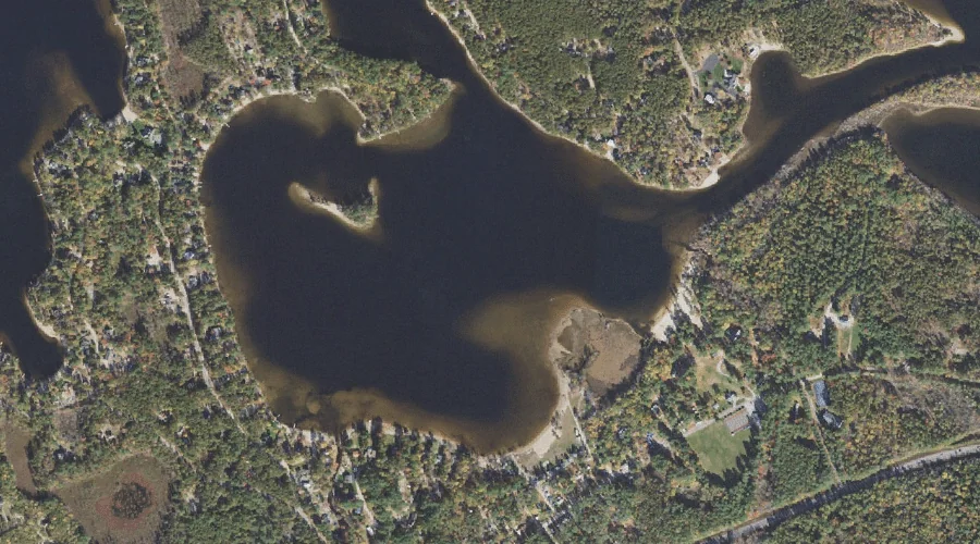
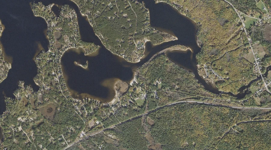
Leavitt Bay is a bay in Carroll County, New Hampshire, located about 44.5 miles south-southwest of Chapman Inn in Bethel, Maine. It appears on the USGS Freedom topographic…
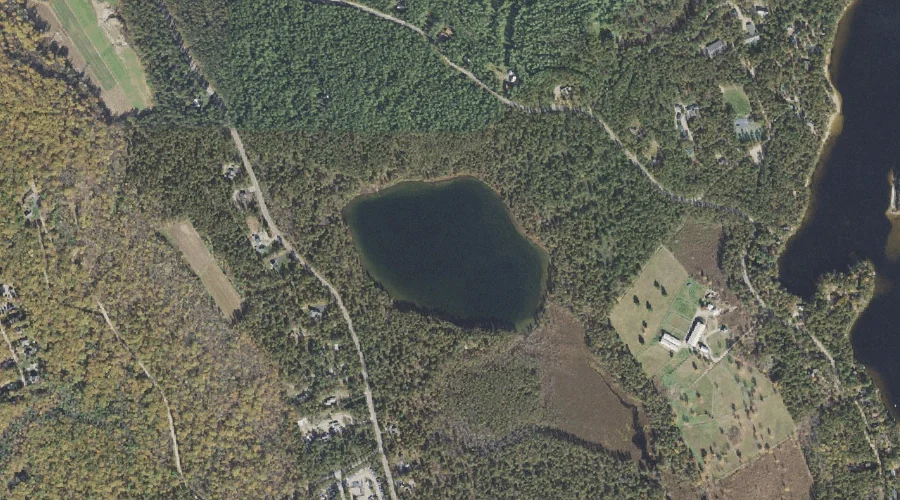
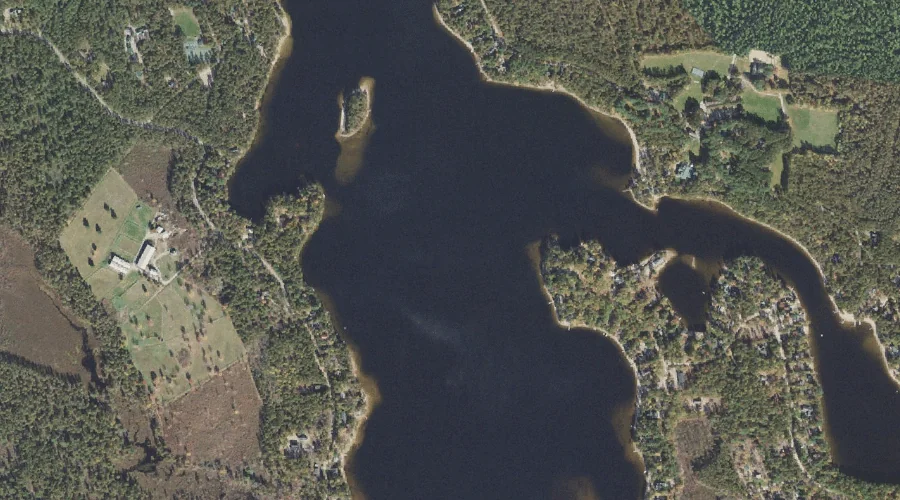
Duck Pond is a lake in Carroll County, New Hampshire, located about 44.4 miles south-southwest of Chapman Inn in Bethel, Maine. It appears on the USGS Freedom topographic…
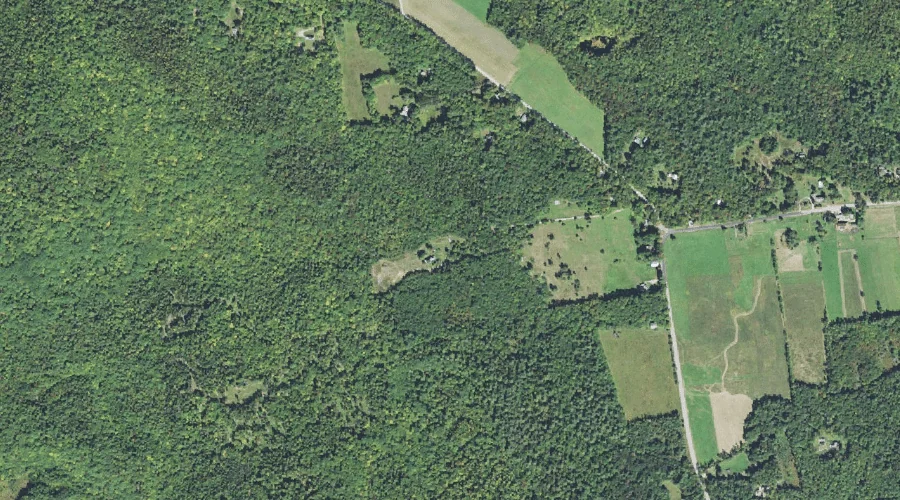
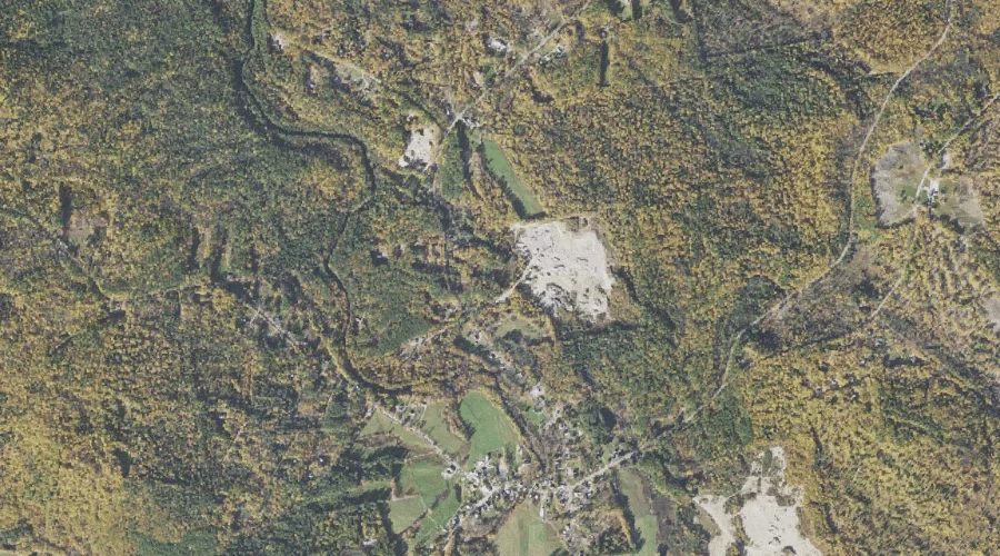
Great Hill is a summit in Carroll County, New Hampshire, located about 44.4 miles southwest of Chapman Inn in Bethel, Maine. It appears on the USGS Mount Chocorua…
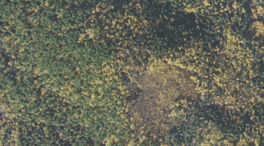
Birch Intervale is a basin in Carroll County, New Hampshire, located about 44.4 miles southwest of Chapman Inn in Bethel, Maine. It appears on the USGS Mount Chocorua…
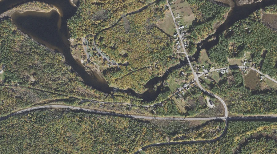
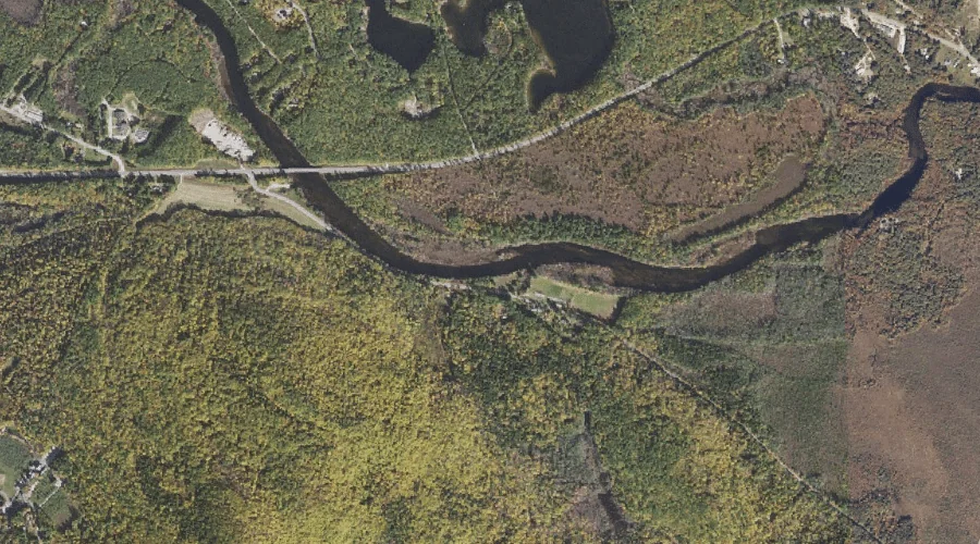
Leavitt Brook is a stream in Carroll County, New Hampshire, located about 44.4 miles south-southwest of Chapman Inn in Bethel, Maine. It appears on the USGS Freedom topographic…
Berry Bay is a reservoir in Carroll County, New Hampshire, located about 44.2 miles south-southwest of Chapman Inn in Bethel, Maine. It appears on the USGS Freedom topographic…
Broad Bay is a bay in Carroll County, New Hampshire, located about 44.2 miles south-southwest of Chapman Inn in Bethel, Maine. It appears on the USGS Freedom topographic…
The Chinock is a mountain gap in Carroll County, New Hampshire, located about 44.0 miles south-southwest of Chapman Inn in Bethel, Maine. It appears on the USGS Tamworth…
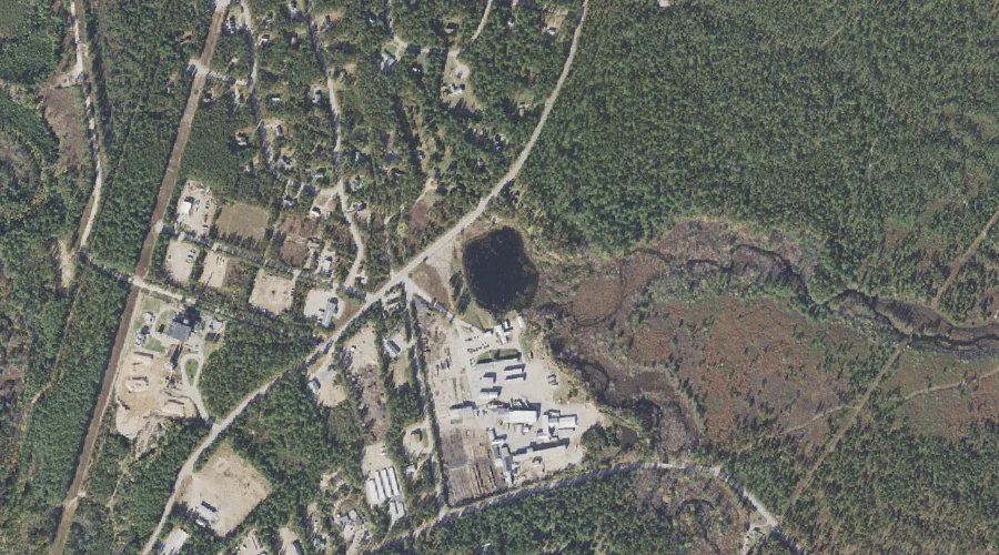
Flanders Brook is a stream in Carroll County, New Hampshire, located about 44.1 miles south-southwest of Chapman Inn in Bethel, Maine. It appears on the USGS Freedom topographic…
Lily Pond is a lake in Carroll County, New Hampshire, located about 44.0 miles south-southwest of Chapman Inn in Bethel, Maine. It appears on the USGS Ossipee Lake…