 Aerial imagery: USGS National Map (public domain)
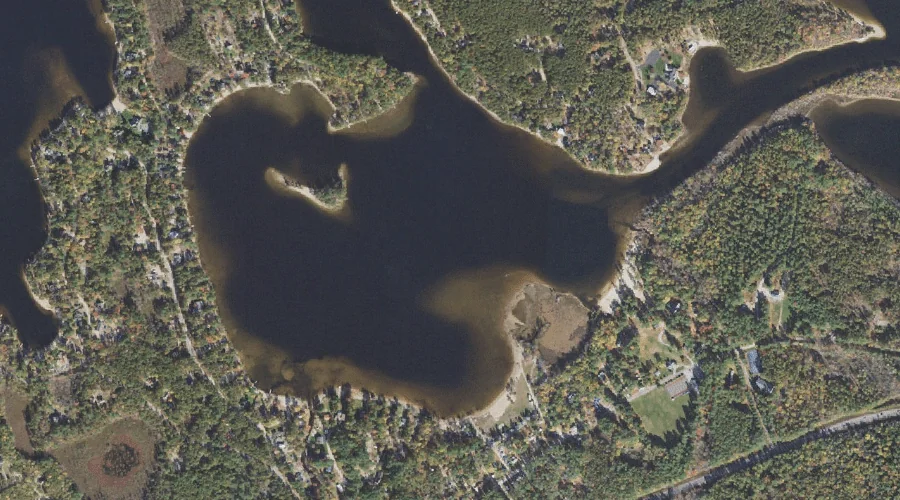
Leavitt Bay — Bays 44.5 Miles SSW of Chapman Inn
Carroll County, New Hampshire · USGS Freedom Quadrangle · GNIS 867964
Catalogued on the USGS Freedom quadrangle in Carroll County, New Hampshire, Leavitt Bay — a bay — lies 44.5 miles south-southwest of Chapman Inn.
Wikidata short description: “bay in Carroll County, New Hampshire, United States of America”
Landmark Profile
Classification & USGS reference
Catalogued under GNIS Feature ID 867964, Leavitt Bay is recorded as a bay on the USGS Freedom quadrangle in Carroll County, New Hampshire (FIPS 33/003). Catalogued in GNIS since 08/27/1980.
Coordinates & physical setting
Leavitt Bay sits at 43.79646° N, 71.08479° W (DMS 43°47′47″ N, 71°05′05″ W).
Features on the USGS Freedom Quadrangle
The Freedom 7.5-minute topographic quadrangle holds 43 catalogued natural features alongside Leavitt Bay. A sampling nearest to this location:
| Feature | Type | County | Offset |
|---|---|---|---|
| Leavitt Brook | Streams | Carroll County, NH | 0.3 mi |
| Phillips Brook | Streams | Carroll County, NH | 0.3 mi |
| Berry Bay | Bays | Carroll County, NH | 0.9 mi |
| Square Brook | Streams | Carroll County, NH | 0.9 mi |
| Broad Bay | Bays | Carroll County, NH | 1 mi |
| Berry Bay | Reservoirs | Carroll County, NH | 1.2 mi |
| Cold Brook | Streams | Carroll County, NH | 1.6 mi |
| Stony Brook | Streams | Carroll County, NH | 1.7 mi |
| Lovering Brook | Streams | Carroll County, NH | 1.7 mi |
| Duck Pond | Lakes | Carroll County, NH | 1.8 mi |
Visiting from Chapman Inn
Distance, bearing & drive time
A 76-minute drive along back roads separates the front door of Chapman Inn from Leavitt Bay — 44.5 miles south-southwest as the crow flies, on compass bearing SSW.
Best time to visit
June through September for paddling and swimming; January through March for ice fishing. At this latitude (43.796°), the shoulder seasons are workable — April and November can be comfortable on mild years. At 44.5 miles from the Inn, block the full day — sunrise start, late return, packed meals. Conditions at Leavitt Bay track the nearby Leavitt Brook stream (0.3 mi away) closely — if that is runnable, so is this.
Nearest features to Leavitt Bay
| Feature | Type | County | Distance |
|---|---|---|---|
| Leavitt Brook | Streams | Carroll County, NH | 0.3 mi |
| Phillips Brook | Streams | Carroll County, NH | 0.3 mi |
| Berry Bay | Bays | Carroll County, NH | 0.9 mi |
| Square Brook | Streams | Carroll County, NH | 0.9 mi |
| Broad Bay | Bays | Carroll County, NH | 1 mi |
Frequently Asked Questions
Where is Leavitt Bay located?
Leavitt Bay is in Carroll County, New Hampshire, approximately 44.5 miles south-southwest of Chapman Inn in Bethel, Maine. It appears on the USGS Freedom topographic quadrangle.
How far is Leavitt Bay from Chapman Inn?
The drive runs about 76 minutes, 44.5 miles south-southwest (bearing SSW) of the Inn.
What type of natural feature is Leavitt Bay?
The U.S. Geological Survey classifies Leavitt Bay as a bay, catalogued under GNIS Feature ID 867964 on the Freedom quadrangle.
When is the best time to visit Leavitt Bay?
June through September for paddling and swimming; January through March for ice fishing.
Wikidata: Q49382760.