 Aerial imagery: USGS National Map (public domain)
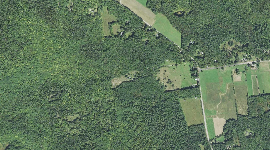
Birch Intervale — Basins 44.4 Miles SW of Chapman Inn
Carroll County, New Hampshire · USGS Mount Chocorua Quadrangle · GNIS 871511
One of only 11 basins catalogued within the 80 km reach of Chapman Inn, Birch Intervale lies on the USGS Mount Chocorua quadrangle in Carroll County, New Hampshire — 44.4 miles southwest of the Inn.
Landmark Profile
Classification & USGS reference
Within Carroll County, New Hampshire, the U.S. Geological Survey lists Birch Intervale as a basin on the Mount Chocorua topographic quadrangle (FIPS 33/003), under Feature ID 871511. Catalogued in GNIS since 08/27/1980.
Coordinates & physical setting
Birch Intervale sits at 43.90729° N, 71.35674° W (DMS 43°54′26″ N, 71°21′24″ W).
Features on the USGS Mount Chocorua Quadrangle
The Mount Chocorua 7.5-minute topographic quadrangle holds 39 catalogued natural features alongside Birch Intervale. A sampling nearest to this location:
| Feature | Type | County | Offset |
|---|---|---|---|
| Mount Katherine | Summits | Carroll County, NH | 0.5 mi |
| Spring Brook | Streams | Grafton County, NH | 0.6 mi |
| Kelly Brook | Streams | Carroll County, NH | 0.7 mi |
| Tilton Pond | Lakes | Carroll County, NH | 0.7 mi |
| Tewksberry Brook | Streams | Carroll County, NH | 1.5 mi |
| Great Hill Pond | Reservoirs | Carroll County, NH | 1.7 mi |
| Mount Mexico | Summits | Carroll County, NH | 1.8 mi |
| Hibbard Mountain | Summits | Grafton County, NH | 2.1 mi |
| Wonalancet River | Streams | Carroll County, NH | 2.2 mi |
| Whitin Ridge | Ridges | Carroll County, NH | 2.2 mi |
Ranking & rarity
- Among the 11 basins catalogued within 80 km of Chapman Inn, Birch Intervale ranks #6 by proximity to the Inn (closer than 45%).
- This is one of only 11 basins catalogued within Chapman Inn’s 80 km reach — a rare classification in the local landscape.
Visiting from Chapman Inn
Distance, bearing & drive time
Follow the compass bearing SW out of Bethel for 44.4 miles (southwest) and you reach Birch Intervale; at typical rural speeds the trip runs roughly 76 minutes.
Best time to visit
Late May through October; avoid black-fly peak in late May. At this latitude (43.907°), the shoulder seasons are workable — April and November can be comfortable on mild years. At 44.4 miles from the Inn, block the full day — sunrise start, late return, packed meals. Conditions at Birch Intervale track the nearby Mount Katherine summit (0.5 mi away) closely — if that is runnable, so is this.
Nearest features to Birch Intervale
| Feature | Type | County | Distance |
|---|---|---|---|
| Mount Katherine | Summits | Carroll County, NH | 0.5 mi |
| Spring Brook | Streams | Grafton County, NH | 0.6 mi |
| Kelly Brook | Streams | Carroll County, NH | 0.7 mi |
| Tilton Pond | Lakes | Carroll County, NH | 0.7 mi |
| Tewksberry Brook | Streams | Carroll County, NH | 1.5 mi |
Frequently Asked Questions
Where is Birch Intervale located?
Birch Intervale is in Carroll County, New Hampshire, approximately 44.4 miles southwest of Chapman Inn in Bethel, Maine. It appears on the USGS Mount Chocorua topographic quadrangle.
How far is Birch Intervale from Chapman Inn?
The drive runs about 76 minutes, 44.4 miles southwest (bearing SW) of the Inn.
What type of natural feature is Birch Intervale?
The U.S. Geological Survey classifies Birch Intervale as a basin, catalogued under GNIS Feature ID 871511 on the Mount Chocorua quadrangle.
When is the best time to visit Birch Intervale?
Late May through October; avoid black-fly peak in late May.
How rare is basins as a classification near Chapman Inn?
Only 11 basins are catalogued within the 80 km radius of the Inn — a comparatively rare classification.
Wikidata: Q34952735.