 Aerial imagery: USGS National Map (public domain)
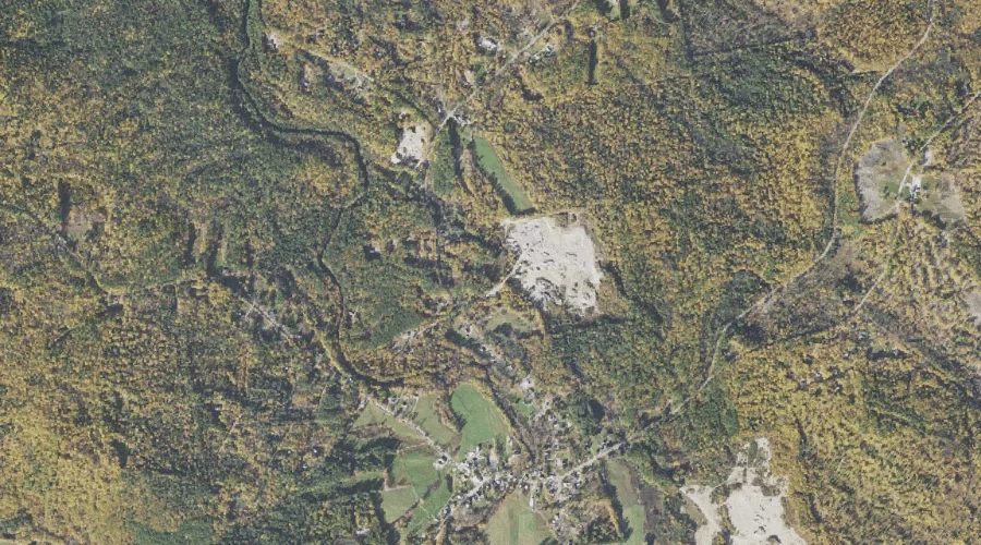
The Chinock — Gaps 44.0 Miles SSW of Chapman Inn
Carroll County, New Hampshire · USGS Tamworth Quadrangle · GNIS 870372
44.0 miles south-southwest of Chapman Inn, on the USGS Tamworth topographic quadrangle, The Chinock is a mountain gap recorded in Carroll County, New Hampshire by the federal Geographic Names Information System.
Landmark Profile
Classification & USGS reference
The USGS Tamworth 7.5-minute topographic quadrangle places The Chinock in Carroll County, New Hampshire (FIPS 33/003), classified as a mountain gap in the federal GNIS (Feature ID 870372). Catalogued in GNIS since 08/27/1980.
Coordinates & physical setting
The Chinock sits at 43.86730° N, 71.26590° W (DMS 43°52′02″ N, 71°15′57″ W).
Features on the USGS Tamworth Quadrangle
The Tamworth 7.5-minute topographic quadrangle holds 30 catalogued natural features alongside The Chinock. A sampling nearest to this location:
| Feature | Type | County | Offset |
|---|---|---|---|
| Blasde Brook | Streams | Carroll County, NH | 1.2 mi |
| Bryant Brook | Streams | Carroll County, NH | 1.5 mi |
| Lunt Ledge | Benches | Carroll County, NH | 1.7 mi |
| Bunker Hill | Summits | Carroll County, NH | 2.4 mi |
| Sanger Brook | Streams | Carroll County, NH | 2.5 mi |
| Heckel Hill | Summits | Carroll County, NH | 2.6 mi |
| Hoag Brook | Streams | Carroll County, NH | 2.7 mi |
| Mill Brook | Streams | Carroll County, NH | 3.3 mi |
| Cold Brook | Streams | Carroll County, NH | 3.4 mi |
| Cleveland Hill | Summits | Carroll County, NH | 3.5 mi |
Visiting from Chapman Inn
Distance, bearing & drive time
Chapman Inn sits 44.0 miles south-southwest (bearing SSW) of The Chinock. At moderate back-road speeds the drive runs about 75 minutes — comfortably inside a half-day outing window after breakfast.
Best time to visit
Late May through October; avoid black-fly peak in late May. At this latitude (43.867°), the shoulder seasons are workable — April and November can be comfortable on mild years. At 44.0 miles from the Inn, block the full day — sunrise start, late return, packed meals. Conditions at The Chinock track the nearby Blasde Brook stream (1.2 mi away) closely — if that is runnable, so is this.
Nearest features to The Chinock
| Feature | Type | County | Distance |
|---|---|---|---|
| Blasde Brook | Streams | Carroll County, NH | 1.2 mi |
| McDaniel Hill | Summits | Carroll County, NH | 1.4 mi |
| Bryant Brook | Streams | Carroll County, NH | 1.5 mi |
| Page Hill | Summits | Carroll County, NH | 1.5 mi |
| Lunt Ledge | Benches | Carroll County, NH | 1.7 mi |
Frequently Asked Questions
Where is The Chinock located?
The Chinock is in Carroll County, New Hampshire, approximately 44.0 miles south-southwest of Chapman Inn in Bethel, Maine. It appears on the USGS Tamworth topographic quadrangle.
How far is The Chinock from Chapman Inn?
The drive runs about 75 minutes, 44.0 miles south-southwest (bearing SSW) of the Inn.
What type of natural feature is The Chinock?
The U.S. Geological Survey classifies The Chinock as a mountain gap, catalogued under GNIS Feature ID 870372 on the Tamworth quadrangle.
When is the best time to visit The Chinock?
Late May through October; avoid black-fly peak in late May.