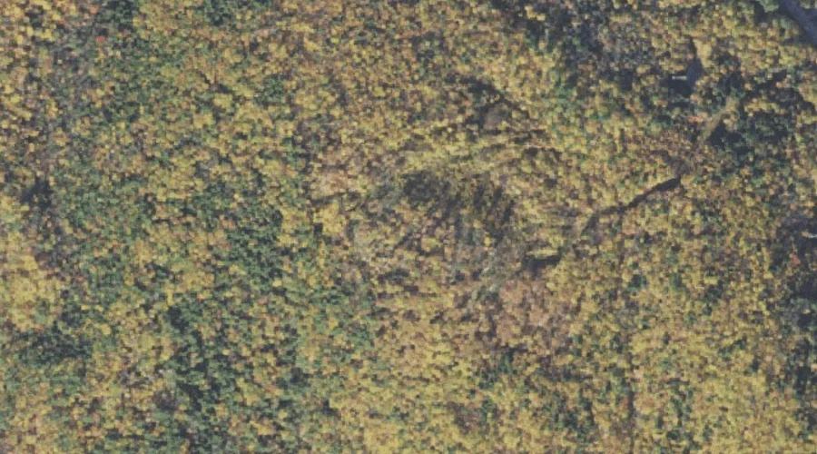
Wonalancet River is a stream in Carroll County, New Hampshire, located about 43.3 miles southwest of Chapman Inn in Bethel, Maine. It appears on the USGS Mount Chocorua…
Ryan Hill is a summit in Carroll County, New Hampshire, located about 43.2 miles south-southwest of Chapman Inn in Bethel, Maine. It appears on the USGS Ossipee Lake…
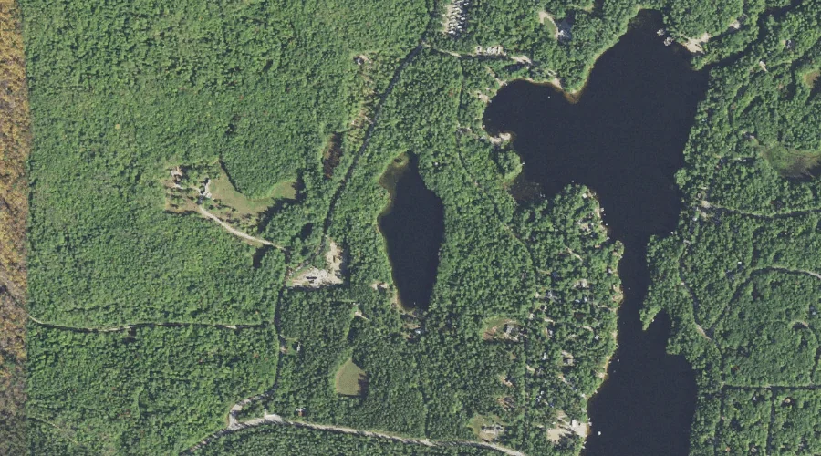
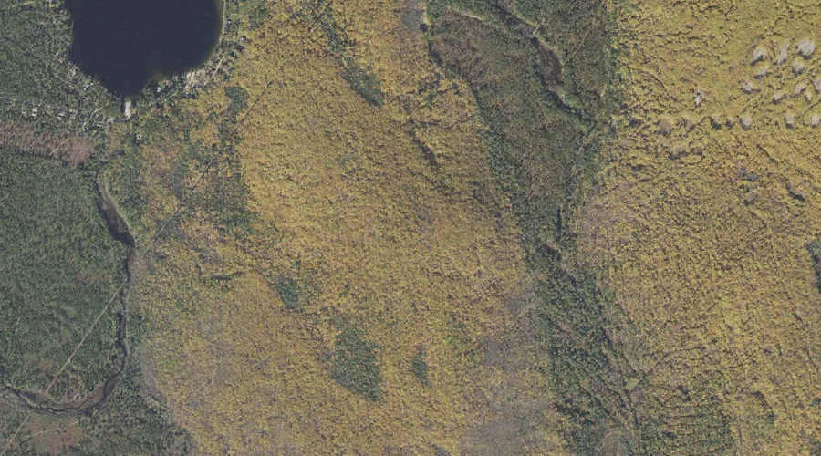
Shaw Pond is a lake in Carroll County, New Hampshire, located about 43.2 miles south-southwest of Chapman Inn in Bethel, Maine. It appears on the USGS Freedom topographic…
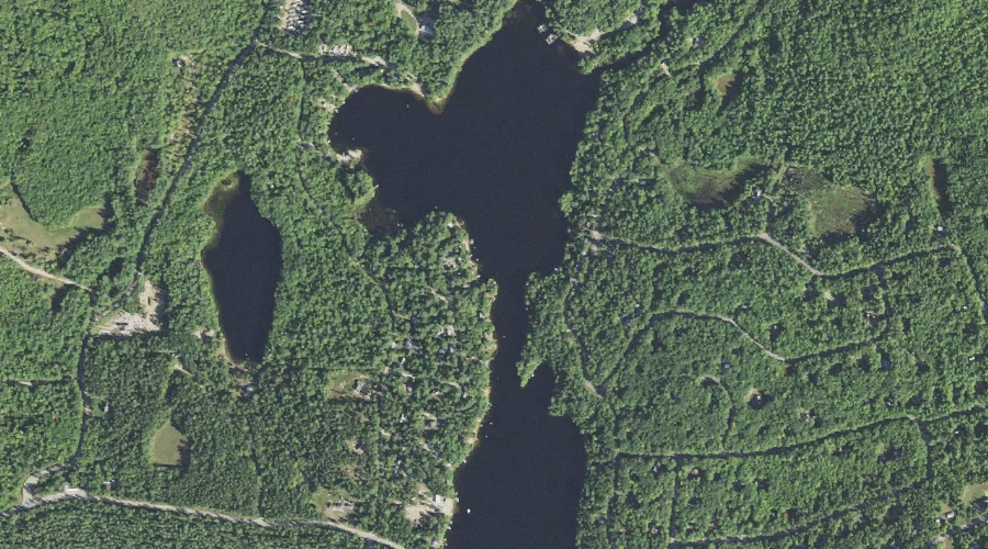
Loon Lake is a lake in Carroll County, New Hampshire, located about 43.2 miles south-southwest of Chapman Inn in Bethel, Maine. It appears on the USGS Freedom topographic…
Sanborn Brook is a stream in Carroll County, New Hampshire, located about 43.3 miles southwest of Chapman Inn in Bethel, Maine. It appears on the USGS Mount Chocorua…
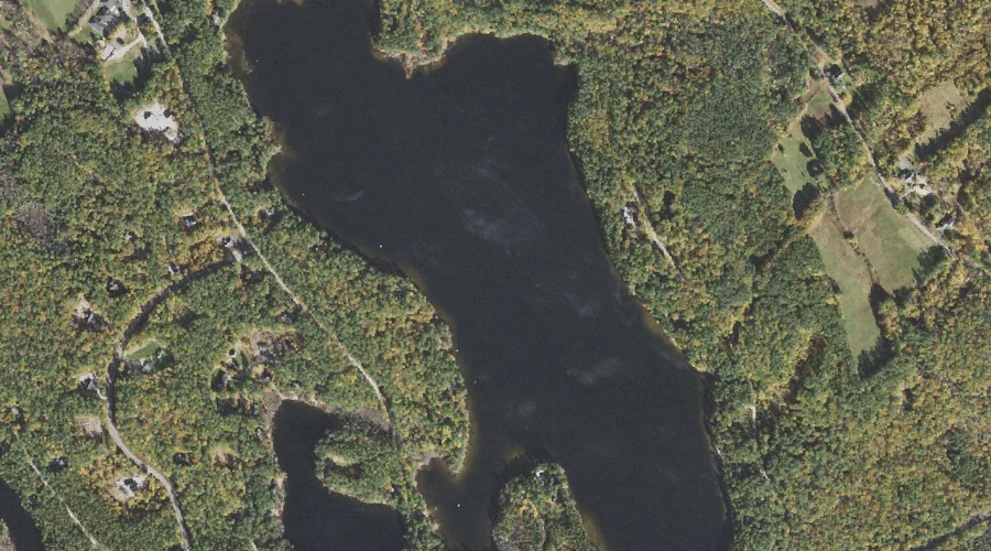
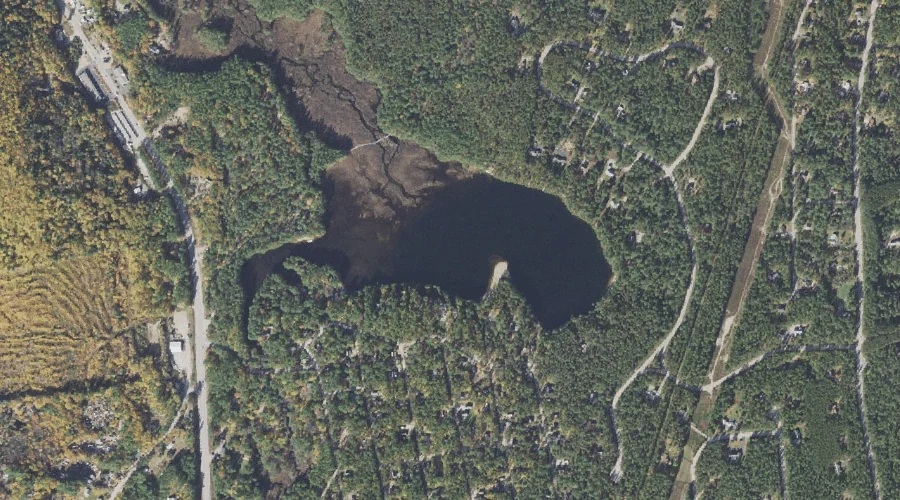
Danforth Ponds is a lake in Carroll County, New Hampshire, located about 43.1 miles south-southwest of Chapman Inn in Bethel, Maine. It appears on the USGS Freedom topographic…
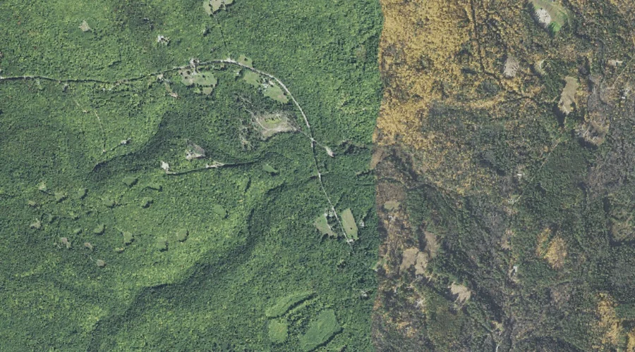
Page Hill is a summit in Carroll County, New Hampshire, located about 43.1 miles south-southwest of Chapman Inn in Bethel, Maine. It appears on the USGS Ossipee Lake…
Moores Pond is a lake in Carroll County, New Hampshire, located about 42.9 miles south-southwest of Chapman Inn in Bethel, Maine. It appears on the USGS Ossipee Lake…
McDaniel Hill is a summit in Carroll County, New Hampshire, located about 42.9 miles southwest of Chapman Inn in Bethel, Maine. It appears on the USGS Mount Chocorua…
Jackman Ridge is a ridge in Carroll County, New Hampshire, located about 42.8 miles south-southwest of Chapman Inn in Bethel, Maine. It appears on the USGS Ossipee Lake…