 Aerial imagery: USGS National Map (public domain)
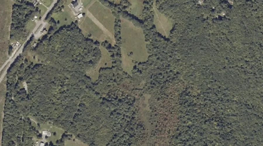
Glenrock Spring — Springs 34.7 Miles ESE of Chapman Inn
Androscoggin County, Maine · USGS Lake Auburn East Quadrangle · GNIS 566842
One of only 11 springs catalogued within the 80 km reach of Chapman Inn, Glenrock Spring lies on the USGS Lake Auburn East quadrangle in Androscoggin County, Maine — 34.7 miles east-southeast of the Inn.
Wikidata short description: “spring in Androscoggin County, Maine, United States of America”
Landmark Profile
Classification & USGS reference
Catalogued under GNIS Feature ID 566842, Glenrock Spring is recorded as a spring on the USGS Lake Auburn East quadrangle in Androscoggin County, Maine (FIPS 23/001). Catalogued in GNIS since 09/30/1980.
Coordinates & physical setting
Glenrock Spring sits at 44.17341° N, 70.16644° W (DMS 44°10′24″ N, 70°09′59″ W).
Features on the USGS Lake Auburn East Quadrangle
The Lake Auburn East 7.5-minute topographic quadrangle holds 19 catalogued natural features alongside Glenrock Spring. A sampling nearest to this location:
| Feature | Type | County | Offset |
|---|---|---|---|
| Daggett Bog | Lakes | Androscoggin County, ME | 0.9 mi |
| Gulf Island Pond | Reservoirs | Androscoggin County, ME | 1.6 mi |
| Merrill Hill | Summits | Androscoggin County, ME | 1.8 mi |
| Hill Ridge | Ridges | Androscoggin County, ME | 2.1 mi |
| Berry Pond | Lakes | Androscoggin County, ME | 2.3 mi |
| Little Sabattus Pond | Lakes | Androscoggin County, ME | 3 mi |
| Androscoggin River Reservoir | Reservoirs | Androscoggin County, ME | 3.2 mi |
| Clark Mountain | Summits | Androscoggin County, ME | 3.2 mi |
| Mount Giles | Summits | Androscoggin County, ME | 3.3 mi |
| Bradford Brook | Streams | Androscoggin County, ME | 3.4 mi |
Ranking & rarity
- Among the 11 springs catalogued within 80 km of Chapman Inn, Glenrock Spring ranks #7 by proximity to the Inn (closer than 36%).
- This is one of only 11 springs catalogued within Chapman Inn’s 80 km reach — a rare classification in the local landscape.
Visiting from Chapman Inn
Distance, bearing & drive time
A 59-minute drive along back roads separates the front door of Chapman Inn from Glenrock Spring — 34.7 miles east-southeast as the crow flies, on compass bearing ESE.
Best time to visit
Best observed in late spring and early summer when flow is strong and banks are visible. At this latitude (44.173°), the shoulder seasons are workable — April and November can be comfortable on mild years. At 34.7 miles from the Inn, block the full day — sunrise start, late return, packed meals. Conditions at Glenrock Spring track the nearby Daggett Bog lake (0.9 mi away) closely — if that is runnable, so is this.
Nearest features to Glenrock Spring
| Feature | Type | County | Distance |
|---|---|---|---|
| Daggett Bog | Lakes | Androscoggin County, ME | 0.9 mi |
| Gulf Island Pond | Reservoirs | Androscoggin County, ME | 1.6 mi |
| Merrill Hill | Summits | Androscoggin County, ME | 1.8 mi |
| Hill Ridge | Ridges | Androscoggin County, ME | 2.1 mi |
| Berry Pond | Lakes | Androscoggin County, ME | 2.3 mi |
Frequently Asked Questions
Where is Glenrock Spring located?
Glenrock Spring is in Androscoggin County, Maine, approximately 34.7 miles east-southeast of Chapman Inn in Bethel, Maine. It appears on the USGS Lake Auburn East topographic quadrangle.
How far is Glenrock Spring from Chapman Inn?
The drive runs about 59 minutes, 34.7 miles east-southeast (bearing ESE) of the Inn.
What type of natural feature is Glenrock Spring?
The U.S. Geological Survey classifies Glenrock Spring as a spring, catalogued under GNIS Feature ID 566842 on the Lake Auburn East quadrangle.
When is the best time to visit Glenrock Spring?
Best observed in late spring and early summer when flow is strong and banks are visible.
How rare is springs as a classification near Chapman Inn?
Only 11 springs are catalogued within the 80 km radius of the Inn — a comparatively rare classification.
Wikidata: Q35457059.