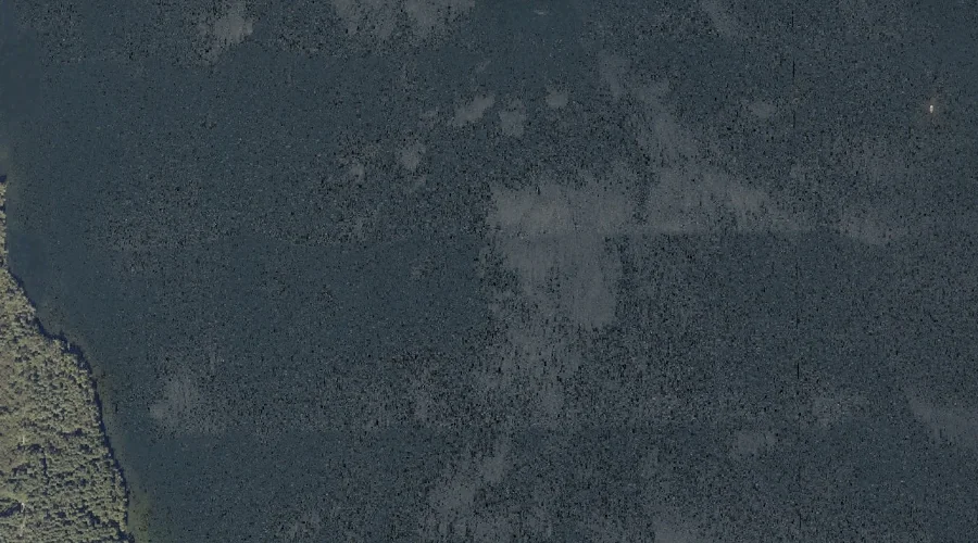
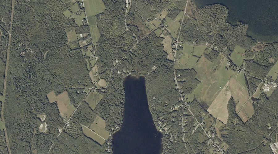
The Basin is a reservoir in Androscoggin County, Maine, located about 31.8 miles east-southeast of Chapman Inn in Bethel, Maine. It appears on the USGS Lake Auburn West…
Lapham Brook is a stream in Androscoggin County, Maine, located about 31.9 miles southeast of Chapman Inn in Bethel, Maine. It appears on the USGS Minot topographic quadrangle.
Allen Stream is a stream in Androscoggin County, Maine, located about 31.6 miles east-southeast of Chapman Inn in Bethel, Maine. It appears on the USGS Turner Center topographic…
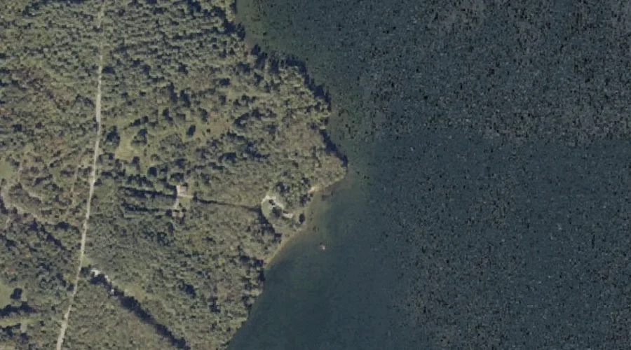
Salmon Point is a cape in Androscoggin County, Maine, located about 31.7 miles east-southeast of Chapman Inn in Bethel, Maine. It appears on the USGS Lake Auburn West…
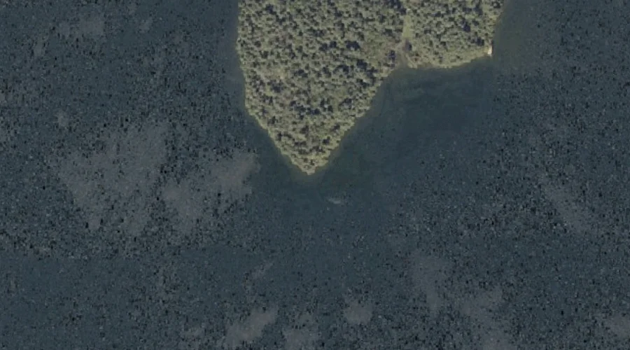
Griswold Island is a island in Androscoggin County, Maine, located about 31.7 miles east-southeast of Chapman Inn in Bethel, Maine. It appears on the USGS Turner Center topographic…
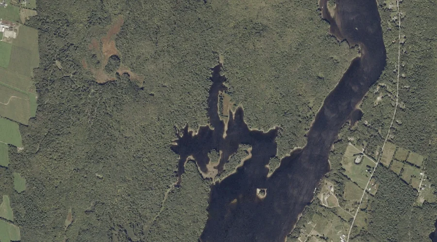
Bradford Brook is a stream in Androscoggin County, Maine, located about 31.7 miles east-southeast of Chapman Inn in Bethel, Maine. It appears on the USGS Lake Auburn East…
Pine Point is a cape in Androscoggin County, Maine, located about 31.8 miles southeast of Chapman Inn in Bethel, Maine. It appears on the USGS Lake Auburn West…
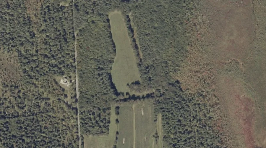
Fairview Hill is a summit in Androscoggin County, Maine, located about 31.8 miles east of Chapman Inn in Bethel, Maine. It appears on the USGS Turner Center topographic…
White Oak Hill is a summit in Androscoggin County, Maine, located about 31.5 miles southeast of Chapman Inn in Bethel, Maine. It appears on the USGS Mechanic Falls…
Worthley Brook is a stream in Androscoggin County, Maine, located about 31.6 miles southeast of Chapman Inn in Bethel, Maine. It appears on the USGS Minot topographic quadrangle.