Scott Brook is a stream in Androscoggin County, Maine, located about 31.6 miles east of Chapman Inn in Bethel, Maine. It appears on the USGS Livermore Falls topographic…
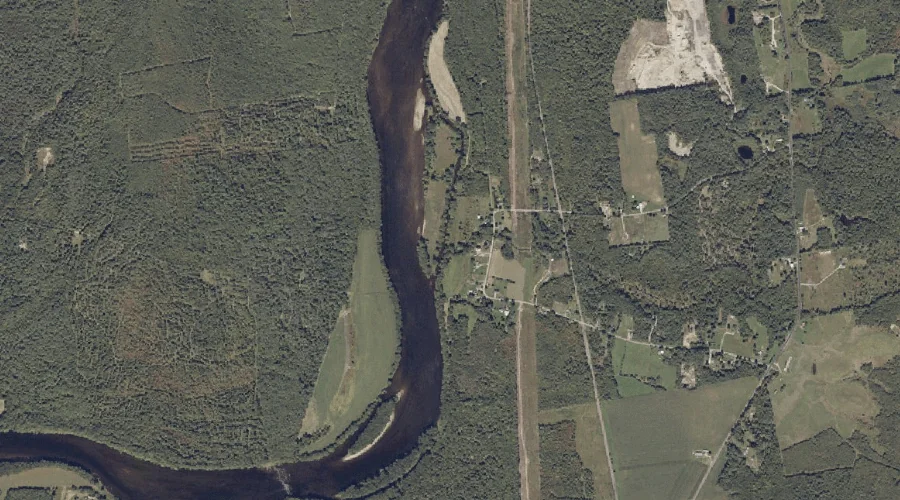
Dead River Reservoir is a reservoir in Androscoggin County, Maine, located about 31.6 miles east of Chapman Inn in Bethel, Maine. It appears on the USGS Turner Center…
Bailey Hill is a summit in Androscoggin County, Maine, located about 31.4 miles southeast of Chapman Inn in Bethel, Maine. It appears on the USGS Minot topographic quadrangle.
Hunton Brook is a stream in Androscoggin County, Maine, located about 31.5 miles east of Chapman Inn in Bethel, Maine. It appears on the USGS Livermore Falls topographic…
Turtle Island is a island in Androscoggin County, Maine, located about 31.5 miles east of Chapman Inn in Bethel, Maine. It appears on the USGS Turner Center topographic…
Johnson Hill is a summit in Androscoggin County, Maine, located about 31.5 miles south-southeast of Chapman Inn in Bethel, Maine. It appears on the USGS Mechanic Falls topographic…
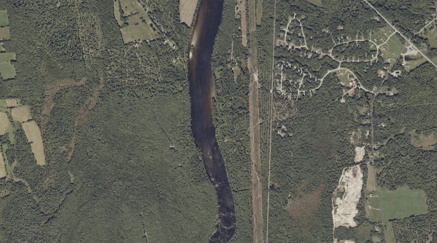
Nezinscot River is a stream in Androscoggin County, Maine, located about 31.1 miles east-southeast of Chapman Inn in Bethel, Maine. It appears on the USGS Turner Center topographic…
Pine Point is a cape in Androscoggin County, Maine, located about 31.2 miles south-southeast of Chapman Inn in Bethel, Maine. It appears on the USGS Mechanic Falls topographic…
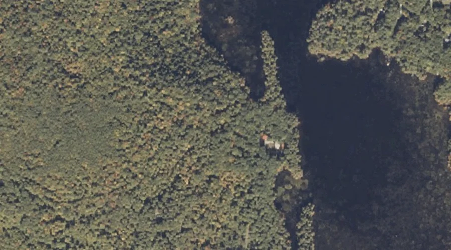
Little Androscoggin River Reservoir is a reservoir in Androscoggin County, Maine, located about 31.3 miles southeast of Chapman Inn in Bethel, Maine. It appears on the USGS Minot…
Oak Hill is a summit in Androscoggin County, Maine, located about 31.0 miles southeast of Chapman Inn in Bethel, Maine. It appears on the USGS Mechanic Falls topographic…