 Aerial imagery: USGS National Map (public domain)
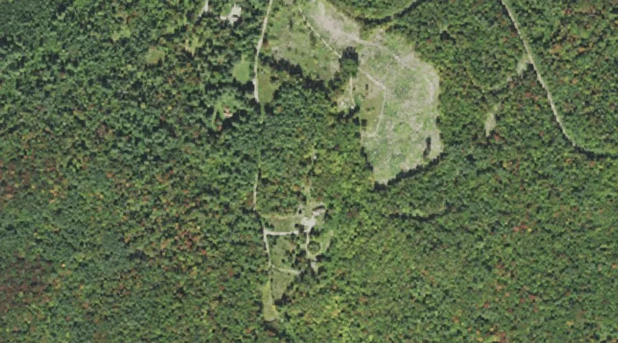
Pine Knob — Summits 41.3 Miles W of Chapman Inn
Grafton County, New Hampshire · USGS Twin Mountain Quadrangle · GNIS 869194
Catalogued on the USGS Twin Mountain quadrangle in Grafton County, New Hampshire, Pine Knob — a summit — lies 41.3 miles west of Chapman Inn.
Wikidata short description: “mountain in New Hampshire, United States of America”
Landmark Profile
Classification & USGS reference
Catalogued under GNIS Feature ID 869194, Pine Knob is recorded as a summit on the USGS Twin Mountain quadrangle in Grafton County, New Hampshire (FIPS 33/009). Last revised by the Board on Geographic Names on 12/01/2020.
Coordinates & physical setting
Pine Knob sits at 44.31311° N, 71.61564° W (DMS 44°18′47″ N, 71°36′56″ W).
Other summits in Grafton County, New Hampshire
Grafton County, NH contains 93 summits catalogued in the USGS Geographic Names Information System, counting Pine Knob itself. The ones closest to Pine Knob:
| Feature | USGS Quadrangle | Elevation | Distance |
|---|---|---|---|
| Russell Hill | Bethlehem | — | 1.6 mi |
| Mount Agassiz | Bethlehem | — | 4.4 mi |
| Cleveland Mountain | Bethlehem | — | 4.6 mi |
| Hedgehog Hill | Bethlehem | — | 5.1 mi |
| Lewis Hill | Bethlehem | — | 5.1 mi |
| Abbot Hill | Franconia | 1,729 ft | 5.3 mi |
| Haystack Mountain | South Twin Mountain | — | 5.9 mi |
| Priest Hill | Franconia | — | 6.2 mi |
| North Sugarloaf | Twin Mountain | — | 6.2 mi |
| Middle Sugarloaf | Twin Mountain | — | 6.5 mi |
Features on the USGS Twin Mountain Quadrangle
The Twin Mountain 7.5-minute topographic quadrangle holds 21 catalogued natural features alongside Pine Knob. A sampling nearest to this location:
| Feature | Type | County | Offset |
|---|---|---|---|
| Richardson Pond | Lakes | Coos County, NH | 1.2 mi |
| Osburn Hill | Summits | Coos County, NH | 2.2 mi |
| Beech Hill | Summits | Coos County, NH | 2.3 mi |
| Carter Brook | Streams | Coos County, NH | 2.9 mi |
| Cherry Mountain Brook | Streams | Coos County, NH | 3.2 mi |
| Haystack Brook | Streams | Grafton County, NH | 3.4 mi |
| Little River | Streams | Coos County, NH | 3.6 mi |
| Alder Brook | Streams | Coos County, NH | 3.7 mi |
| Bog Brook | Streams | Coos County, NH | 4.2 mi |
| Bear Brook | Streams | Coos County, NH | 4.5 mi |
Visiting from Chapman Inn
Distance, bearing & drive time
A 71-minute drive along back roads separates the front door of Chapman Inn from Pine Knob — 41.3 miles west as the crow flies, on compass bearing W.
Best time to visit
Accessible May through November in most years. At this latitude (44.313°), the shoulder seasons are workable — April and November can be comfortable on mild years. At 41.3 miles from the Inn, block the full day — sunrise start, late return, packed meals. Conditions at Pine Knob track the nearby Richardson Pond lake (1.2 mi away) closely — if that is runnable, so is this.
Nearest features to Pine Knob
| Feature | Type | County | Distance |
|---|---|---|---|
| Richardson Pond | Lakes | Coos County, NH | 1.2 mi |
| Russell Hill | Summits | Grafton County, NH | 1.6 mi |
| Howland Hill | Summits | Coos County, NH | 1.7 mi |
| Osburn Hill | Summits | Coos County, NH | 2.2 mi |
| Black Brook | Streams | Grafton County, NH | 2.2 mi |
Frequently Asked Questions
Where is Pine Knob located?
Pine Knob is in Grafton County, New Hampshire, approximately 41.3 miles west of Chapman Inn in Bethel, Maine. It appears on the USGS Twin Mountain topographic quadrangle.
How far is Pine Knob from Chapman Inn?
The drive runs about 71 minutes, 41.3 miles west (bearing W) of the Inn.
What type of natural feature is Pine Knob?
The U.S. Geological Survey classifies Pine Knob as a summit, catalogued under GNIS Feature ID 869194 on the Twin Mountain quadrangle.
When is the best time to visit Pine Knob?
Accessible May through November in most years.
How many other summits are in Grafton County, New Hampshire?
GNIS lists 92 other summits in Grafton County, New Hampshire.
Wikidata: Q34894435.