 Aerial imagery: USGS National Map (public domain)
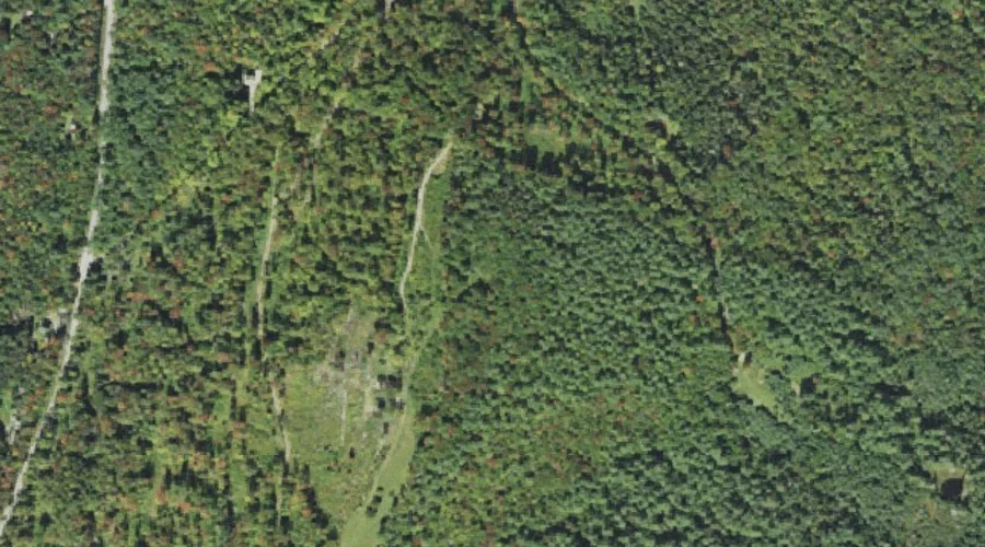
Russell Hill — Summits 42.7 Miles W of Chapman Inn
Grafton County, New Hampshire · USGS Bethlehem Quadrangle · GNIS 869648
Within Grafton County, New Hampshire, on the USGS Bethlehem quadrangle, the summit known as Russell Hill sits 42.7 miles west of Chapman Inn.
Wikidata short description: “mountain in New Hampshire, United States of America”
Landmark Profile
Classification & USGS reference
Within Grafton County, New Hampshire, the U.S. Geological Survey lists Russell Hill as a summit on the Bethlehem topographic quadrangle (FIPS 33/009), under Feature ID 869648. Last revised by the Board on Geographic Names on 11/07/2020.
Coordinates & physical setting
Russell Hill sits at 44.32175° N, 71.64634° W (DMS 44°19′18″ N, 71°38′47″ W).
Other summits in Grafton County, New Hampshire
Grafton County, NH contains 93 summits catalogued in the USGS Geographic Names Information System, counting Russell Hill itself. The ones closest to Russell Hill:
| Feature | USGS Quadrangle | Elevation | Distance |
|---|---|---|---|
| Pine Knob | Twin Mountain | — | 1.6 mi |
| Hedgehog Hill | Bethlehem | — | 3.5 mi |
| Mount Agassiz | Bethlehem | — | 4.1 mi |
| Cleveland Mountain | Bethlehem | — | 4.5 mi |
| Lewis Hill | Bethlehem | — | 4.6 mi |
| Mann Hill | Bethlehem | — | 5.2 mi |
| Abbot Hill | Franconia | 1,729 ft | 5.6 mi |
| Garnet Mountain | Bethlehem | — | 5.9 mi |
| Parker Mountain | Littleton | — | 6 mi |
| Pine Hill | Littleton | — | 6.1 mi |
Features on the USGS Bethlehem Quadrangle
The Bethlehem 7.5-minute topographic quadrangle holds 18 catalogued natural features alongside Russell Hill. A sampling nearest to this location:
| Feature | Type | County | Offset |
|---|---|---|---|
| Howland Hill | Summits | Coos County, NH | 0.9 mi |
| Kimbal Hill | Summits | Coos County, NH | 1.8 mi |
| Forest Lake | Lakes | Coos County, NH | 2.1 mi |
| Burns Pond | Reservoirs | Coos County, NH | 2.1 mi |
| Black Brook | Streams | Grafton County, NH | 2.3 mi |
| Hatch Brook | Streams | Grafton County, NH | 2.7 mi |
| Barrett Brook | Streams | Grafton County, NH | 3.5 mi |
| Hedgehog Hill | Summits | Grafton County, NH | 3.5 mi |
| Black Brook | Streams | Grafton County, NH | 3.8 mi |
| Fowler Brook | Streams | Grafton County, NH | 3.9 mi |
Visiting from Chapman Inn
Distance, bearing & drive time
Follow the compass bearing W out of Bethel for 42.7 miles (west) and you reach Russell Hill; at typical rural speeds the trip runs roughly 73 minutes.
Best time to visit
Accessible May through November in most years. At this latitude (44.322°), the shoulder seasons are workable — April and November can be comfortable on mild years. At 42.7 miles from the Inn, block the full day — sunrise start, late return, packed meals. Conditions at Russell Hill track the nearby Howland Hill summit (0.9 mi away) closely — if that is runnable, so is this.
Nearest features to Russell Hill
| Feature | Type | County | Distance |
|---|---|---|---|
| Howland Hill | Summits | Coos County, NH | 0.9 mi |
| Pine Knob | Summits | Grafton County, NH | 1.6 mi |
| Kimbal Hill | Summits | Coos County, NH | 1.8 mi |
| Forest Lake | Lakes | Coos County, NH | 2.1 mi |
| Burns Pond | Reservoirs | Coos County, NH | 2.1 mi |
Frequently Asked Questions
Where is Russell Hill located?
Russell Hill is in Grafton County, New Hampshire, approximately 42.7 miles west of Chapman Inn in Bethel, Maine. It appears on the USGS Bethlehem topographic quadrangle.
How far is Russell Hill from Chapman Inn?
The drive runs about 73 minutes, 42.7 miles west (bearing W) of the Inn.
What type of natural feature is Russell Hill?
The U.S. Geological Survey classifies Russell Hill as a summit, catalogued under GNIS Feature ID 869648 on the Bethlehem quadrangle.
When is the best time to visit Russell Hill?
Accessible May through November in most years.
How many other summits are in Grafton County, New Hampshire?
GNIS lists 92 other summits in Grafton County, New Hampshire.
Wikidata: Q34902462.