 Aerial imagery: USGS National Map (public domain)
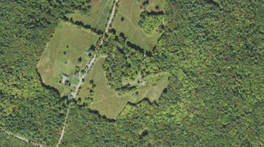
Howland Hill — Summits 42.2 Miles W of Chapman Inn
Coos County, New Hampshire · USGS Bethlehem Quadrangle · GNIS 867639
42.2 miles west of Chapman Inn, on the USGS Bethlehem topographic quadrangle, Howland Hill is a summit recorded in Coos County, New Hampshire by the federal Geographic Names Information System.
Landmark Profile
Classification & USGS reference
The USGS Bethlehem 7.5-minute topographic quadrangle places Howland Hill in Coos County, New Hampshire (FIPS 33/007), classified as a summit in the federal GNIS (Feature ID 867639). Last revised by the Board on Geographic Names on 11/07/2020.
Coordinates & physical setting
Howland Hill sits at 44.33343° N, 71.63644° W (DMS 44°20′00″ N, 71°38′11″ W).
Other summits in Coos County, New Hampshire
Coos County, NH contains 226 summits catalogued in the USGS Geographic Names Information System, counting Howland Hill itself. The ones closest to Howland Hill:
| Feature | USGS Quadrangle | Elevation | Distance |
|---|---|---|---|
| Kimbal Hill | Bethlehem | — | 0.9 mi |
| Osburn Hill | Twin Mountain | — | 1.7 mi |
| Dalton Mountain | Gilman | — | 3.7 mi |
| Beech Hill | Twin Mountain | — | 4 mi |
| Beede Mountain | Gilman | — | 4.7 mi |
| Wallace Hill | Gilman | — | 5 mi |
| Blue Hill | Gilman | — | 6.4 mi |
| Cherry Mountain | Mount Dartmouth | — | 6.8 mi |
| Mount Martha | Mount Dartmouth | — | 6.8 mi |
| Bray Hill | Lancaster | — | 7.1 mi |
Features on the USGS Bethlehem Quadrangle
The Bethlehem 7.5-minute topographic quadrangle holds 18 catalogued natural features alongside Howland Hill. A sampling nearest to this location:
| Feature | Type | County | Offset |
|---|---|---|---|
| Kimbal Hill | Summits | Coos County, NH | 0.9 mi |
| Russell Hill | Summits | Grafton County, NH | 0.9 mi |
| Burns Pond | Reservoirs | Coos County, NH | 1.3 mi |
| Forest Lake | Lakes | Coos County, NH | 1.9 mi |
| Black Brook | Streams | Grafton County, NH | 3.1 mi |
| Hatch Brook | Streams | Grafton County, NH | 3.2 mi |
| Hedgehog Hill | Summits | Grafton County, NH | 4 mi |
| Barrett Brook | Streams | Grafton County, NH | 4.2 mi |
| Black Brook | Streams | Grafton County, NH | 4.5 mi |
| Fowler Brook | Streams | Grafton County, NH | 4.6 mi |
Visiting from Chapman Inn
Distance, bearing & drive time
Chapman Inn sits 42.2 miles west (bearing W) of Howland Hill. At moderate back-road speeds the drive runs about 72 minutes — comfortably inside a half-day outing window after breakfast.
Best time to visit
Accessible May through November in most years. Being this far north (lat 44.333°), first snows typically arrive by mid-October and linger into early May — narrow the window accordingly. At 42.2 miles from the Inn, block the full day — sunrise start, late return, packed meals. Conditions at Howland Hill track the nearby Kimbal Hill summit (0.9 mi away) closely — if that is runnable, so is this.
Nearest features to Howland Hill
| Feature | Type | County | Distance |
|---|---|---|---|
| Kimbal Hill | Summits | Coos County, NH | 0.9 mi |
| Russell Hill | Summits | Grafton County, NH | 0.9 mi |
| Burns Pond | Reservoirs | Coos County, NH | 1.3 mi |
| Osburn Hill | Summits | Coos County, NH | 1.7 mi |
| Pine Knob | Summits | Grafton County, NH | 1.7 mi |
Frequently Asked Questions
Where is Howland Hill located?
Howland Hill is in Coos County, New Hampshire, approximately 42.2 miles west of Chapman Inn in Bethel, Maine. It appears on the USGS Bethlehem topographic quadrangle.
How far is Howland Hill from Chapman Inn?
The drive runs about 72 minutes, 42.2 miles west (bearing W) of the Inn.
What type of natural feature is Howland Hill?
The U.S. Geological Survey classifies Howland Hill as a summit, catalogued under GNIS Feature ID 867639 on the Bethlehem quadrangle.
When is the best time to visit Howland Hill?
Accessible May through November in most years.
How many other summits are in Coos County, New Hampshire?
GNIS lists 225 other summits in Coos County, New Hampshire.