 Aerial imagery: USGS National Map (public domain)
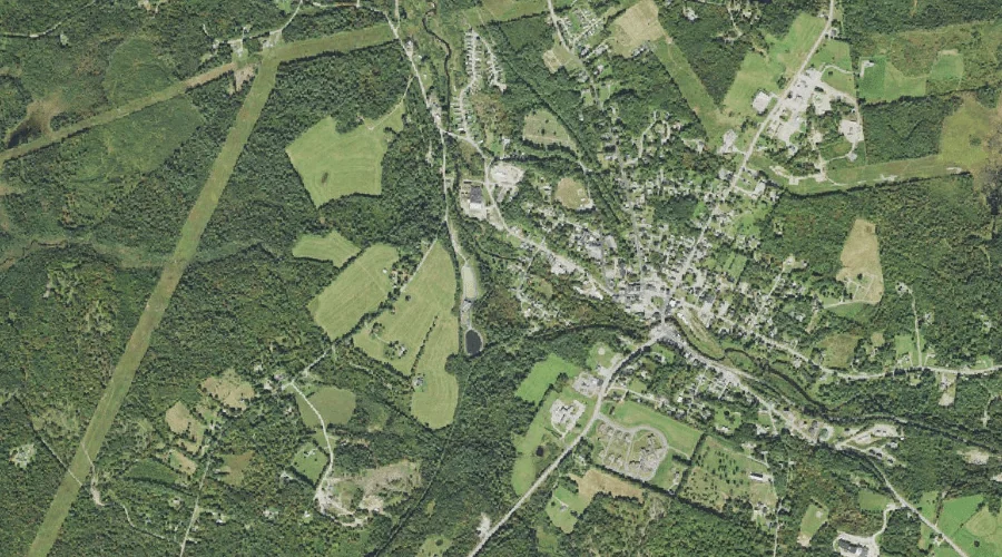
Bog Brook — Streams 41.1 Miles W of Chapman Inn
Coos County, New Hampshire · USGS Twin Mountain Quadrangle · GNIS 865693
Catalogued on the USGS Twin Mountain quadrangle in Coos County, New Hampshire, Bog Brook — a stream — lies 41.1 miles west of Chapman Inn.
Wikidata short description: “river in Coös County, United States of America - Geonames ID = 5083610”
Landmark Profile
Classification & USGS reference
Catalogued under GNIS Feature ID 865693, Bog Brook is recorded as a stream on the USGS Twin Mountain quadrangle in Coos County, New Hampshire (FIPS 33/007). Catalogued in GNIS since 08/27/1980.
Coordinates & physical setting
Bog Brook sits at 44.37423° N, 71.61981° W (DMS 44°22′27″ N, 71°37′11″ W).
As a linear feature its source lies near 44.29917° N, 71.59917° W (DMS 44°17′57″ N, 71°35′57″ W) — useful for anglers and paddlers tracing the upstream end.
Other streams in Coos County, New Hampshire
Coos County, NH contains 300 streams catalogued in the USGS Geographic Names Information System, counting Bog Brook itself. The ones closest to Bog Brook:
| Feature | USGS Quadrangle | Distance |
|---|---|---|
| Chase Brook | Lancaster | 0.3 mi |
| Carroll Stream | Twin Mountain | 3 mi |
| Bear Brook | Twin Mountain | 3.4 mi |
| Ayling Brook | Twin Mountain | 3.5 mi |
| Leonard Brook | Twin Mountain | 3.7 mi |
| Johns River | Gilman | 4.6 mi |
| Carter Brook | Twin Mountain | 4.9 mi |
| Cherry Mountain Brook | Twin Mountain | 5.4 mi |
| Cushman Brook | Gilman | 6.3 mi |
| Priscilla Brook | Jefferson | 6.8 mi |
Features on the USGS Twin Mountain Quadrangle
The Twin Mountain 7.5-minute topographic quadrangle holds 21 catalogued natural features alongside Bog Brook. A sampling nearest to this location:
| Feature | Type | County | Offset |
|---|---|---|---|
| Osburn Hill | Summits | Coos County, NH | 2.3 mi |
| Hazens Pond | Lakes | Coos County, NH | 3 mi |
| Carroll Stream | Streams | Coos County, NH | 3 mi |
| Airport Marsh Reservoir | Reservoirs | Coos County, NH | 3.2 mi |
| Bear Brook | Streams | Coos County, NH | 3.4 mi |
| Ayling Brook | Streams | Coos County, NH | 3.5 mi |
| Leonard Brook | Streams | Coos County, NH | 3.7 mi |
| Pine Knob | Summits | Grafton County, NH | 4.2 mi |
| Richardson Pond | Lakes | Coos County, NH | 4.5 mi |
| Carter Brook | Streams | Coos County, NH | 4.9 mi |
Visiting from Chapman Inn
Distance, bearing & drive time
A 70-minute drive along back roads separates the front door of Chapman Inn from Bog Brook — 41.1 miles west as the crow flies, on compass bearing W.
Best time to visit
Best observed in late spring and early summer when flow is strong and banks are visible. Being this far north (lat 44.374°), first snows typically arrive by mid-October and linger into early May — narrow the window accordingly. At 41.1 miles from the Inn, block the full day — sunrise start, late return, packed meals. Conditions at Bog Brook track the nearby Chase Brook stream (0.3 mi away) closely — if that is runnable, so is this.
Nearest features to Bog Brook
| Feature | Type | County | Distance |
|---|---|---|---|
| Chase Brook | Streams | Coos County, NH | 0.3 mi |
| Gold Mine Pond (historical) | Reservoirs | Grafton County, NH | 1 mi |
| Mirror Lake | Lakes | Coos County, NH | 1.1 mi |
| Burns Pond | Reservoirs | Coos County, NH | 1.8 mi |
| Kimbal Hill | Summits | Coos County, NH | 2.1 mi |
Frequently Asked Questions
Where is Bog Brook located?
Bog Brook is in Coos County, New Hampshire, approximately 41.1 miles west of Chapman Inn in Bethel, Maine. It appears on the USGS Twin Mountain topographic quadrangle.
How far is Bog Brook from Chapman Inn?
The drive runs about 70 minutes, 41.1 miles west (bearing W) of the Inn.
What type of natural feature is Bog Brook?
The U.S. Geological Survey classifies Bog Brook as a stream, catalogued under GNIS Feature ID 865693 on the Twin Mountain quadrangle.
When is the best time to visit Bog Brook?
Best observed in late spring and early summer when flow is strong and banks are visible.
How many other streams are in Coos County, New Hampshire?
GNIS lists 299 other streams in Coos County, New Hampshire.
Wikidata: Q34678807.