 Aerial imagery: USGS National Map (public domain)
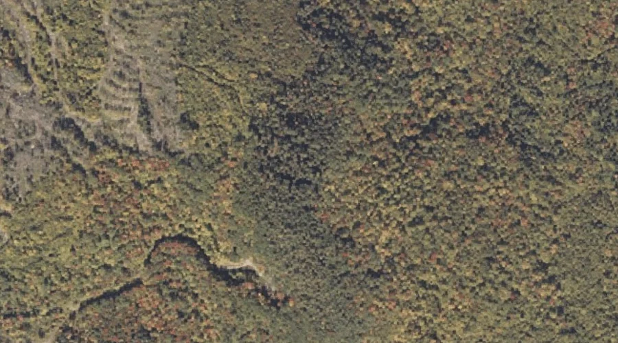
Mann Hill — Summits 17.8 Miles NE of Chapman Inn
Oxford County, Maine · USGS Rumford Quadrangle · GNIS 570701
Within Oxford County, Maine, on the USGS Rumford quadrangle, the summit known as Mann Hill sits 17.8 miles northeast of Chapman Inn.
Landmark Profile
Classification & USGS reference
Within Oxford County, Maine, the U.S. Geological Survey lists Mann Hill as a summit on the Rumford topographic quadrangle (FIPS 23/017), under Feature ID 570701. Last revised by the Board on Geographic Names on 07/23/2022.
Coordinates & physical setting
Mann Hill sits at 44.56505° N, 70.50590° W (DMS 44°33′54″ N, 70°30′21″ W).
Other summits in Oxford County, Maine
Oxford County, ME contains 438 summits catalogued in the USGS Geographic Names Information System, counting Mann Hill itself. The ones closest to Mann Hill:
| Feature | USGS Quadrangle | Elevation | Distance |
|---|---|---|---|
| Trask Ledge | Dixfield | — | 1.1 mi |
| Farrington Mountain | Rumford | — | 1.7 mi |
| Thompson Hill | Rumford | — | 2.1 mi |
| Lovejoy Mountain | Dixfield | — | 2.1 mi |
| Carr Mountain | Rumford | — | 2.2 mi |
| Kidder Mountain | Dixfield | — | 2.4 mi |
| Red Hill | Dixfield | — | 3.2 mi |
| Sugarloaf | Dixfield | — | 3.4 mi |
| Masterman Hill | Dixfield | — | 3.4 mi |
| Burgess Hill | Dixfield | — | 3.9 mi |
Features on the USGS Rumford Quadrangle
The Rumford 7.5-minute topographic quadrangle holds 28 catalogued natural features alongside Mann Hill. A sampling nearest to this location:
| Feature | Type | County | Offset |
|---|---|---|---|
| Farrington Mountain | Summits | Oxford County, ME | 1.7 mi |
| Swift River | Streams | Oxford County, ME | 2 mi |
| Thompson Hill | Summits | Oxford County, ME | 2.1 mi |
| Edmunds Bog Brook | Streams | Oxford County, ME | 2.2 mi |
| Carr Mountain | Summits | Oxford County, ME | 2.2 mi |
| Wyman Brook | Streams | Oxford County, ME | 2.4 mi |
| Androscoggin River Reservoir | Reservoirs | Oxford County, ME | 2.4 mi |
| Androscoggin River Reservoir | Reservoirs | Oxford County, ME | 2.6 mi |
| Rumford Falls | Waterfalls | Oxford County, ME | 2.6 mi |
| Bean Brook | Streams | Oxford County, ME | 2.6 mi |
Visiting from Chapman Inn
Distance, bearing & drive time
Follow the compass bearing NE out of Bethel for 17.8 miles (northeast) and you reach Mann Hill; at typical rural speeds the trip runs roughly 31 minutes.
Best time to visit
Accessible May through November in most years. At this latitude (44.565°), the shoulder seasons are workable — April and November can be comfortable on mild years. At 17.8 miles from the Inn, plan on a comfortable day trip with time for lunch on the road. Conditions at Mann Hill track the nearby Harlow Ridge (0.9 mi away) closely — if that is runnable, so is this.
Nearest features to Mann Hill
| Feature | Type | County | Distance |
|---|---|---|---|
| Harlow Ridge | Ridges | Oxford County, ME | 0.9 mi |
| Trask Ledge | Summits | Oxford County, ME | 1.1 mi |
| Farrington Mountain | Summits | Oxford County, ME | 1.7 mi |
| Swift River | Streams | Oxford County, ME | 2 mi |
| Thompson Hill | Summits | Oxford County, ME | 2.1 mi |
Frequently Asked Questions
Where is Mann Hill located?
Mann Hill is in Oxford County, Maine, approximately 17.8 miles northeast of Chapman Inn in Bethel, Maine. It appears on the USGS Rumford topographic quadrangle.
How far is Mann Hill from Chapman Inn?
The drive runs about 31 minutes, 17.8 miles northeast (bearing NE) of the Inn.
What type of natural feature is Mann Hill?
The U.S. Geological Survey classifies Mann Hill as a summit, catalogued under GNIS Feature ID 570701 on the Rumford quadrangle.
When is the best time to visit Mann Hill?
Accessible May through November in most years.
How many other summits are in Oxford County, Maine?
GNIS lists 437 other summits in Oxford County, Maine.