 Aerial imagery: USGS National Map (public domain)
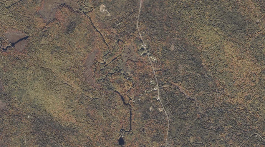
Kittredge Brook — Streams 20.8 Miles NE of Chapman Inn
Franklin County, Maine · USGS Dixfield Quadrangle · GNIS 569233
Catalogued on the USGS Dixfield quadrangle in Franklin County, Maine, Kittredge Brook — a stream — lies 20.8 miles northeast of Chapman Inn.
Landmark Profile
Classification & USGS reference
Catalogued under GNIS Feature ID 569233, Kittredge Brook is recorded as a stream on the USGS Dixfield quadrangle in Franklin County, Maine (FIPS 23/007). Catalogued in GNIS since 09/30/1980.
Coordinates & physical setting
Kittredge Brook sits at 44.60312° N, 70.47118° W (DMS 44°36′11″ N, 70°28′16″ W).
As a linear feature its source lies near 44.58944° N, 70.43111° W (DMS 44°35′22″ N, 70°25′52″ W) — useful for anglers and paddlers tracing the upstream end.
Other streams in Franklin County, Maine
Franklin County, ME contains 134 streams catalogued in the USGS Geographic Names Information System, counting Kittredge Brook itself. The ones closest to Kittredge Brook:
| Feature | USGS Quadrangle | Distance |
|---|---|---|
| Hanscom Brook | Dixfield | 1.1 mi |
| Durgin Brook | Dixfield | 1.7 mi |
| Hutchinson Brook | Weld | 1.8 mi |
| Dunning Brook | Weld | 1.9 mi |
| Lapham Brook | Weld | 2.4 mi |
| Basin Brook | Weld | 2.7 mi |
| Green Brook | Weld | 3 mi |
| Berry Brook | Weld | 3.1 mi |
| Mitchell Brook | Rumford | 4.4 mi |
| Webb River | Dixfield | 5 mi |
Features on the USGS Dixfield Quadrangle
The Dixfield 7.5-minute topographic quadrangle holds 36 catalogued natural features alongside Kittredge Brook. A sampling nearest to this location:
| Feature | Type | County | Offset |
|---|---|---|---|
| The Falls | Waterfalls | Oxford County, ME | 0.6 mi |
| Paddy Meadow Brook | Streams | Oxford County, ME | 0.7 mi |
| Hanscom Brook | Streams | Franklin County, ME | 1.1 mi |
| Durgin Brook | Streams | Franklin County, ME | 1.7 mi |
| Potter Hill | Summits | Franklin County, ME | 2.1 mi |
| Storer Hill | Summits | Franklin County, ME | 2.2 mi |
| Masterman Hill | Summits | Oxford County, ME | 2.3 mi |
| Harlow Ridge | Ridges | Oxford County, ME | 2.3 mi |
| Staples Brook | Streams | Oxford County, ME | 2.4 mi |
| Podunk Pond | Lakes | Franklin County, ME | 2.7 mi |
Visiting from Chapman Inn
Distance, bearing & drive time
A 36-minute drive along back roads separates the front door of Chapman Inn from Kittredge Brook — 20.8 miles northeast as the crow flies, on compass bearing NE.
Best time to visit
Best observed in late spring and early summer when flow is strong and banks are visible. Being this far north (lat 44.603°), first snows typically arrive by mid-October and linger into early May — narrow the window accordingly. At 20.8 miles from the Inn, plan on a comfortable day trip with time for lunch on the road. Conditions at Kittredge Brook track the nearby The Falls waterfall (0.6 mi away) closely — if that is runnable, so is this.
Nearest features to Kittredge Brook
| Feature | Type | County | Distance |
|---|---|---|---|
| The Falls | Waterfalls | Oxford County, ME | 0.6 mi |
| Paddy Meadow Brook | Streams | Oxford County, ME | 0.7 mi |
| Hanscom Brook | Streams | Franklin County, ME | 1.1 mi |
| Halfmoon Pond | Lakes | Franklin County, ME | 1.4 mi |
| Edmunds Bog Brook | Streams | Oxford County, ME | 1.5 mi |
Frequently Asked Questions
Where is Kittredge Brook located?
Kittredge Brook is in Franklin County, Maine, approximately 20.8 miles northeast of Chapman Inn in Bethel, Maine. It appears on the USGS Dixfield topographic quadrangle.
How far is Kittredge Brook from Chapman Inn?
The drive runs about 36 minutes, 20.8 miles northeast (bearing NE) of the Inn.
What type of natural feature is Kittredge Brook?
The U.S. Geological Survey classifies Kittredge Brook as a stream, catalogued under GNIS Feature ID 569233 on the Dixfield quadrangle.
When is the best time to visit Kittredge Brook?
Best observed in late spring and early summer when flow is strong and banks are visible.
How many other streams are in Franklin County, Maine?
GNIS lists 133 other streams in Franklin County, Maine.