 Aerial imagery: USGS National Map (public domain)
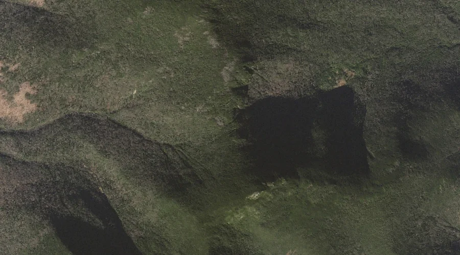
Zeta Pass — Gaps 20.8 Miles WSW of Chapman Inn
Coos County, New Hampshire · USGS Carter Dome Quadrangle · GNIS 872978
Within Coos County, New Hampshire, on the USGS Carter Dome quadrangle, the mountain gap known as Zeta Pass sits 20.8 miles west-southwest of Chapman Inn.
Landmark Profile
Classification & USGS reference
Within Coos County, New Hampshire, the U.S. Geological Survey lists Zeta Pass as a mountain gap on the Carter Dome topographic quadrangle (FIPS 33/007), under Feature ID 872978. Catalogued in GNIS since 08/27/1980.
Coordinates & physical setting
Zeta Pass sits at 44.28118° N, 71.17313° W (DMS 44°16′52″ N, 71°10′23″ W).
Other gaps in Coos County, New Hampshire
Coos County, NH contains 20 gaps catalogued in the USGS Geographic Names Information System, counting Zeta Pass itself. The ones closest to Zeta Pass:
| Feature | USGS Quadrangle | Distance |
|---|---|---|
| Carter Notch | Carter Dome | 1.7 mi |
| Perkins Notch | Jackson | 2.8 mi |
| Pinkham Notch | Mount Washington | 4.3 mi |
| Moriah George | Wild River | 4.3 mi |
| Edmands Col | Mount Washington | 7.2 mi |
| Jefferson Notch | Mount Washington | 9 mi |
| Carlton Notch | Mount Crescent | 10.5 mi |
| Hunters Pass | Mount Crescent | 11 mi |
| Trident Pass | Berlin | 11.2 mi |
| Willard Notch | Jefferson | 16.9 mi |
Features on the USGS Carter Dome Quadrangle
The Carter Dome 7.5-minute topographic quadrangle holds 30 catalogued natural features alongside Zeta Pass. A sampling nearest to this location:
| Feature | Type | County | Offset |
|---|---|---|---|
| Mount Hight | Summits | Coos County, NH | 0.4 mi |
| South Carter Mountain | Summits | Coos County, NH | 0.6 mi |
| Carter Dome | Summits | Coos County, NH | 1 mi |
| Middle Carter Mountain | Summits | Coos County, NH | 1.5 mi |
| Carter Notch | Gaps | Coos County, NH | 1.7 mi |
| Little Wildcat Mountain | Summits | Coos County, NH | 1.8 mi |
| Wildcat Mountain | Summits | Coos County, NH | 2.1 mi |
| North Carter Mountain | Summits | Coos County, NH | 2.3 mi |
| Nineteen Brook | Streams | Coos County, NH | 2.8 mi |
| Garnet Pool | Lakes | Coos County, NH | 2.8 mi |
Visiting from Chapman Inn
Distance, bearing & drive time
Follow the compass bearing WSW out of Bethel for 20.8 miles (west-southwest) and you reach Zeta Pass; at typical rural speeds the trip runs roughly 36 minutes.
Best time to visit
Late May through October; avoid black-fly peak in late May. Being this far north (lat 44.281°), first snows typically arrive by mid-October and linger into early May — narrow the window accordingly. At 20.8 miles from the Inn, plan on a comfortable day trip with time for lunch on the road. Conditions at Zeta Pass track the nearby Mount Hight summit (0.4 mi away) closely — if that is runnable, so is this.
Nearest features to Zeta Pass
| Feature | Type | County | Distance |
|---|---|---|---|
| Mount Hight | Summits | Coos County, NH | 0.4 mi |
| South Carter Mountain | Summits | Coos County, NH | 0.6 mi |
| Carter Dome | Summits | Coos County, NH | 1 mi |
| Middle Carter Mountain | Summits | Coos County, NH | 1.5 mi |
| Carter Notch | Gaps | Coos County, NH | 1.7 mi |
Frequently Asked Questions
Where is Zeta Pass located?
Zeta Pass is in Coos County, New Hampshire, approximately 20.8 miles west-southwest of Chapman Inn in Bethel, Maine. It appears on the USGS Carter Dome topographic quadrangle.
How far is Zeta Pass from Chapman Inn?
The drive runs about 36 minutes, 20.8 miles west-southwest (bearing WSW) of the Inn.
What type of natural feature is Zeta Pass?
The U.S. Geological Survey classifies Zeta Pass as a mountain gap, catalogued under GNIS Feature ID 872978 on the Carter Dome quadrangle.
When is the best time to visit Zeta Pass?
Late May through October; avoid black-fly peak in late May.
How many other gaps are in Coos County, New Hampshire?
GNIS lists 19 other gaps in Coos County, New Hampshire.