 Aerial imagery: USGS National Map (public domain)
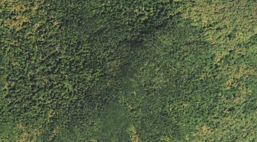
Mount Randolph — Summits 26.2 Miles W of Chapman Inn
Coos County, New Hampshire · USGS Mount Crescent Quadrangle · GNIS 869442
26.2 miles west of Chapman Inn, on the USGS Mount Crescent topographic quadrangle, Mount Randolph is a summit recorded in Coos County, New Hampshire by the federal Geographic Names Information System.
Wikidata short description: “mountain in United States of America”
Landmark Profile
Classification & USGS reference
The USGS Mount Crescent 7.5-minute topographic quadrangle places Mount Randolph in Coos County, New Hampshire (FIPS 33/007), classified as a summit in the federal GNIS (Feature ID 869442). Last revised by the Board on Geographic Names on 11/18/2020.
Coordinates & physical setting
Mount Randolph sits at 44.38845° N, 71.31807° W (DMS 44°23′18″ N, 71°19′05″ W).
Other summits in Coos County, New Hampshire
Coos County, NH contains 226 summits catalogued in the USGS Geographic Names Information System, counting Mount Randolph itself. The ones closest to Mount Randolph:
| Feature | USGS Quadrangle | Elevation | Distance |
|---|---|---|---|
| Mount Crescent | Mount Crescent | 3,251 ft | 1.6 mi |
| Pond Hill | Mount Crescent | — | 2.8 mi |
| Boy Mountain | Mount Dartmouth | — | 3.9 mi |
| Mount Bowman | Mount Washington | — | 4.1 mi |
| Pliny Mountain | Jefferson | — | 4.2 mi |
| Black Crescent Mountain | Mount Crescent | 3,264 ft | 4.2 mi |
| Mount Abigail Adams | Mount Washington | — | 4.4 mi |
| Mount Madison | Mount Washington | — | 4.6 mi |
| Mount Quincy Adams | Mount Washington | — | 4.7 mi |
| Mount Sam Adams | Mount Washington | — | 4.7 mi |
Features on the USGS Mount Crescent Quadrangle
The Mount Crescent 7.5-minute topographic quadrangle holds 23 catalogued natural features alongside Mount Randolph. A sampling nearest to this location:
| Feature | Type | County | Offset |
|---|---|---|---|
| Lookout Ledge | Benches | Coos County, NH | 0.5 mi |
| Carlton Notch | Gaps | Coos County, NH | 1 mi |
| Mount Crescent | Summits | Coos County, NH | 1.6 mi |
| Pond of Safety | Lakes | Coos County, NH | 1.9 mi |
| Hunters Pass | Gaps | Coos County, NH | 2.7 mi |
| Pond Hill | Summits | Coos County, NH | 2.8 mi |
| Ice Gulch | Valleys | Coos County, NH | 3 mi |
| Peboamauk Fall | Waterfalls | Coos County, NH | 3.1 mi |
| Crescent Range | Ranges | Coos County, NH | 4.2 mi |
| Black Crescent Mountain | Summits | Coos County, NH | 4.2 mi |
Historical record
Also known as: Mt. Randolph.
The U.S. Board on Geographic Names recorded a Official (Board Decision) on January 1, 1936 for this name.
Visiting from Chapman Inn
Distance, bearing & drive time
Chapman Inn sits 26.2 miles west (bearing W) of Mount Randolph. At moderate back-road speeds the drive runs about 45 minutes — comfortably inside a half-day outing window after breakfast.
Best time to visit
Accessible May through November in most years. Being this far north (lat 44.388°), first snows typically arrive by mid-October and linger into early May — narrow the window accordingly. At 26.2 miles from the Inn, block the full day — sunrise start, late return, packed meals. Conditions at Mount Randolph track the nearby Lookout Ledge bench terrace (0.5 mi away) closely — if that is runnable, so is this.
Nearest features to Mount Randolph
| Feature | Type | County | Distance |
|---|---|---|---|
| Lookout Ledge | Benches | Coos County, NH | 0.5 mi |
| Carlton Notch | Gaps | Coos County, NH | 1 mi |
| Cold Brook | Streams | Coos County, NH | 1.4 mi |
| Mount Crescent | Summits | Coos County, NH | 1.6 mi |
| Snyder Brook | Streams | Coos County, NH | 1.9 mi |
Frequently Asked Questions
Where is Mount Randolph located?
Mount Randolph is in Coos County, New Hampshire, approximately 26.2 miles west of Chapman Inn in Bethel, Maine. It appears on the USGS Mount Crescent topographic quadrangle.
How far is Mount Randolph from Chapman Inn?
The drive runs about 45 minutes, 26.2 miles west (bearing W) of the Inn.
What type of natural feature is Mount Randolph?
The U.S. Geological Survey classifies Mount Randolph as a summit, catalogued under GNIS Feature ID 869442 on the Mount Crescent quadrangle.
When is the best time to visit Mount Randolph?
Accessible May through November in most years.
What other names has Mount Randolph been known by?
Alternate or historical names on record: Mt. Randolph.
How many other summits are in Coos County, New Hampshire?
GNIS lists 225 other summits in Coos County, New Hampshire.
Wikidata: Q34883305.