 Aerial imagery: USGS National Map (public domain)
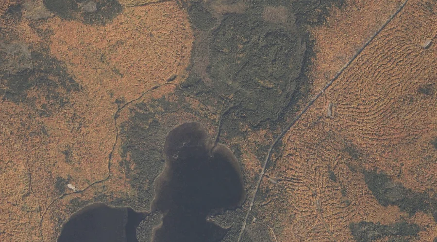
Deer Mountain Stream — Streams 37.3 Miles N of Chapman Inn
Oxford County, Maine · USGS Richardson Pond Quadrangle · GNIS 564995
Within Oxford County, Maine, on the USGS Richardson Pond quadrangle, the stream known as Deer Mountain Stream sits 37.3 miles north of Chapman Inn.
Wikidata short description: “river in the United States of America”
Landmark Profile
Classification & USGS reference
Within Oxford County, Maine, the U.S. Geological Survey lists Deer Mountain Stream as a stream on the Richardson Pond topographic quadrangle (FIPS 23/017), under Feature ID 564995. Last revised by the Board on Geographic Names on 11/17/2006.
Coordinates & physical setting
Deer Mountain Stream sits at 44.93672° N, 70.91313° W (DMS 44°56′12″ N, 70°54′47″ W).
As a linear feature its source lies near 44.99333° N, 70.92194° W (DMS 44°59′36″ N, 70°55′19″ W) — useful for anglers and paddlers tracing the upstream end.
Other streams in Oxford County, Maine
Oxford County, ME contains 296 streams catalogued in the USGS Geographic Names Information System, counting Deer Mountain Stream itself. The ones closest to Deer Mountain Stream:
| Feature | USGS Quadrangle | Distance |
|---|---|---|
| Mill Brook | Richardson Pond | 2.1 mi |
| Beaver Brook | Richardson Pond | 2.4 mi |
| Fish Pond Brook | Richardson Pond | 2.5 mi |
| Beaver Brook | Richardson Pond | 3.1 mi |
| Barney Brook | Richardson Pond | 3.8 mi |
| Otter Brook | Oquossoc | 5.1 mi |
| Little Abbott Brook | Wilsons Mills | 5.7 mi |
| Cold Brook | Kennebago | 5.8 mi |
| Cupsuptic River | Kennebago | 6 mi |
| Birch Brook | Middle Dam | 6 mi |
Features on the USGS Richardson Pond Quadrangle
The Richardson Pond 7.5-minute topographic quadrangle holds 20 catalogued natural features alongside Deer Mountain Stream. A sampling nearest to this location:
| Feature | Type | County | Offset |
|---|---|---|---|
| Pepperpot Pond | Lakes | Oxford County, ME | 1.4 mi |
| East Richardson Ponds | Lakes | Oxford County, ME | 1.6 mi |
| Observatory Mountain | Summits | Oxford County, ME | 1.8 mi |
| Mill Brook | Streams | Oxford County, ME | 2.1 mi |
| Beaver Brook | Streams | Oxford County, ME | 2.4 mi |
| Fish Pond Brook | Streams | Oxford County, ME | 2.5 mi |
| Beaver Island | Islands | Oxford County, ME | 2.7 mi |
| Big Beaver Island | Islands | Oxford County, ME | 2.9 mi |
| Black Brook Cove | Bays | Oxford County, ME | 3 mi |
| Beaver Brook | Streams | Oxford County, ME | 3.1 mi |
Visiting from Chapman Inn
Distance, bearing & drive time
Follow the compass bearing N out of Bethel for 37.3 miles (north) and you reach Deer Mountain Stream; at typical rural speeds the trip runs roughly 64 minutes.
Best time to visit
Best observed in late spring and early summer when flow is strong and banks are visible. Being this far north (lat 44.937°), first snows typically arrive by mid-October and linger into early May — narrow the window accordingly. At 37.3 miles from the Inn, block the full day — sunrise start, late return, packed meals. Conditions at Deer Mountain Stream track the nearby Pepperpot Pond lake (1.4 mi away) closely — if that is runnable, so is this.
Nearest features to Deer Mountain Stream
| Feature | Type | County | Distance |
|---|---|---|---|
| Pepperpot Pond | Lakes | Oxford County, ME | 1.4 mi |
| East Richardson Ponds | Lakes | Oxford County, ME | 1.6 mi |
| Observatory Mountain | Summits | Oxford County, ME | 1.8 mi |
| Mill Brook | Streams | Oxford County, ME | 2.1 mi |
| Beaver Brook | Streams | Oxford County, ME | 2.4 mi |
Frequently Asked Questions
Where is Deer Mountain Stream located?
Deer Mountain Stream is in Oxford County, Maine, approximately 37.3 miles north of Chapman Inn in Bethel, Maine. It appears on the USGS Richardson Pond topographic quadrangle.
How far is Deer Mountain Stream from Chapman Inn?
The drive runs about 64 minutes, 37.3 miles north (bearing N) of the Inn.
What type of natural feature is Deer Mountain Stream?
The U.S. Geological Survey classifies Deer Mountain Stream as a stream, catalogued under GNIS Feature ID 564995 on the Richardson Pond quadrangle.
When is the best time to visit Deer Mountain Stream?
Best observed in late spring and early summer when flow is strong and banks are visible.
How many other streams are in Oxford County, Maine?
GNIS lists 295 other streams in Oxford County, Maine.
Wikidata: Q34724517.