Mount Zircon Spring is a spring in Oxford County, Maine, located about 12.4 miles east-northeast of Chapman Inn in Bethel, Maine. It appears on the USGS Mount Zircon…
Gammon Hill is a summit in Oxford County, Maine, located about 12.4 miles south-southwest of Chapman Inn in Bethel, Maine. It appears on the USGS Center Lovell topographic…
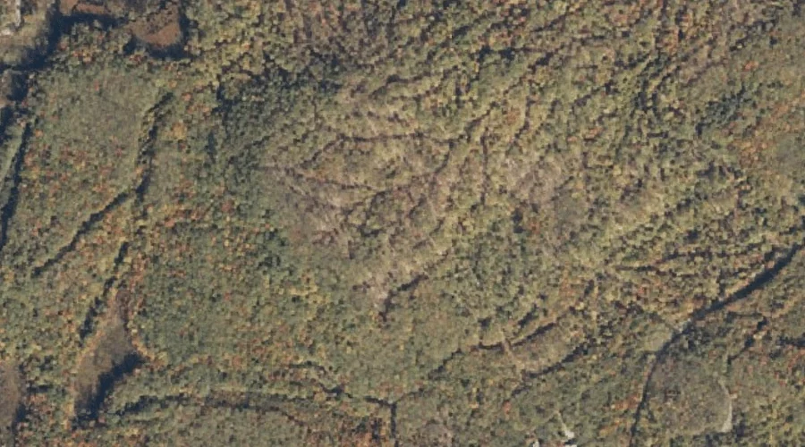
Mollyockett Mountain is a summit in Oxford County, Maine, located about 12.4 miles east of Chapman Inn in Bethel, Maine. It appears on the USGS Mount Zircon topographic…
Flat Hill is a summit in Oxford County, Maine, located about 12.4 miles south-southwest of Chapman Inn in Bethel, Maine. It appears on the USGS North Waterford topographic…
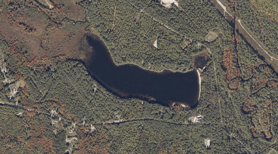
Papoose Pond is a lake in Oxford County, Maine, located about 12.5 miles south-southeast of Chapman Inn in Bethel, Maine. It appears on the USGS Waterford Flat topographic…
Great Brook is a stream in Oxford County, Maine, located about 12.5 miles south-southwest of Chapman Inn in Bethel, Maine. It appears on the USGS Center Lovell topographic…
Birch Island is a island in Oxford County, Maine, located about 12.5 miles south-southwest of Chapman Inn in Bethel, Maine. It appears on the USGS Center Lovell topographic…
North Peak is a summit in Oxford County, Maine, located about 12.5 miles northwest of Chapman Inn in Bethel, Maine. It appears on the USGS Old Speck Mountain…
Amos Mountain is a summit in Oxford County, Maine, located about 12.5 miles south-southwest of Chapman Inn in Bethel, Maine. It appears on the USGS North Waterford topographic…
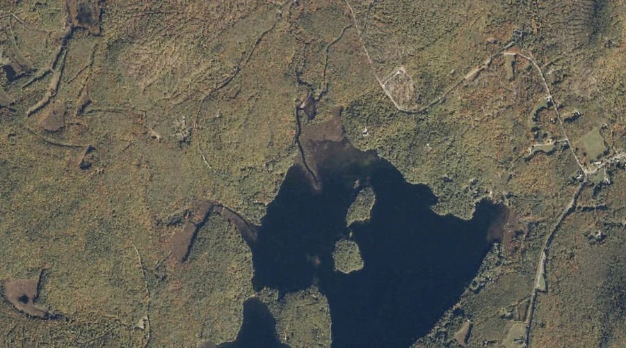
Little Pond is a lake in Oxford County, Maine, located about 12.3 miles south-southwest of Chapman Inn in Bethel, Maine. It appears on the USGS Speckled Mountain topographic…