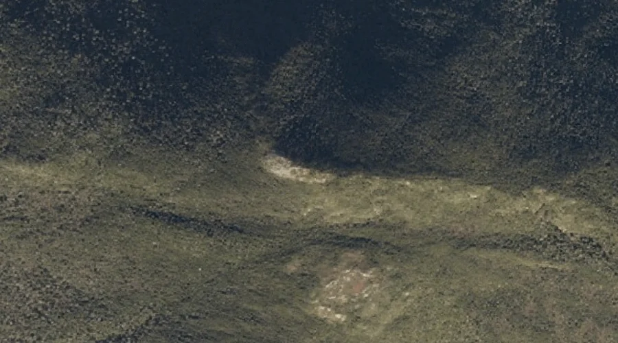
Witt Hill is a summit in Oxford County, Maine, located about 12.4 miles southeast of Chapman Inn in Bethel, Maine. It appears on the USGS West Paris topographic…
Coffin Brook is a stream in Oxford County, Maine, located about 12.4 miles south-southwest of Chapman Inn in Bethel, Maine. It appears on the USGS Center Lovell topographic…
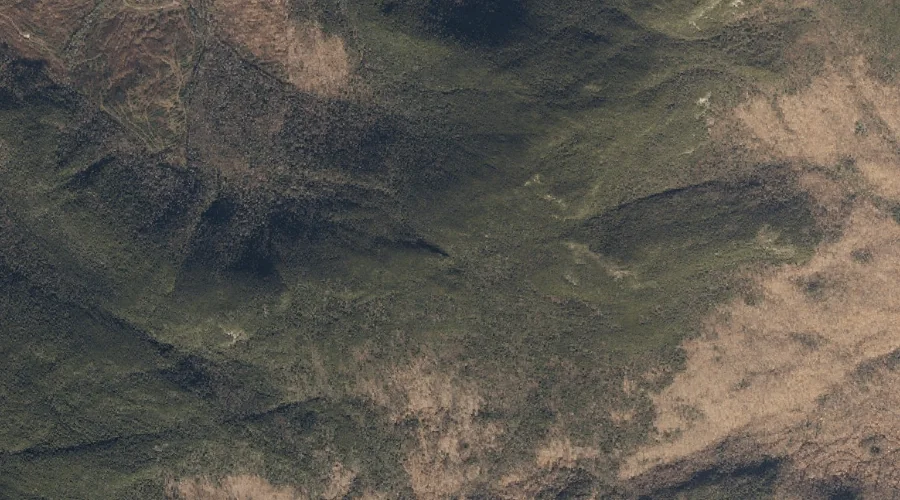
Goose Eye Mountain is a summit in Oxford County, Maine, located about 12.4 miles west-northwest of Chapman Inn in Bethel, Maine. It appears on the USGS Old Speck…
Eastman Hill is a summit in Oxford County, Maine, located about 12.4 miles southeast of Chapman Inn in Bethel, Maine. It appears on the USGS West Paris topographic…
Carlo Col is a mountain gap in Oxford County, Maine, located about 12.4 miles west-northwest of Chapman Inn in Bethel, Maine. It appears on the USGS Shelburne topographic…
Mount Zircon Spring is a spring in Oxford County, Maine, located about 12.4 miles east-northeast of Chapman Inn in Bethel, Maine. It appears on the USGS Mount Zircon…
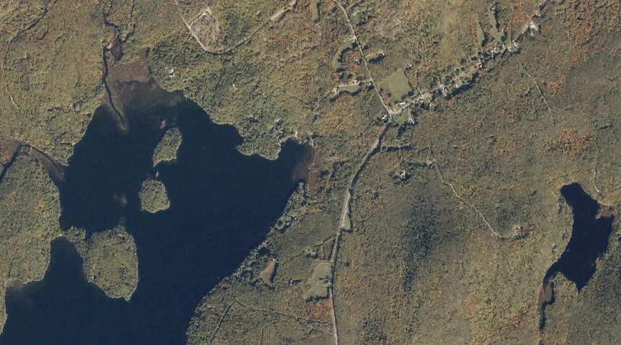
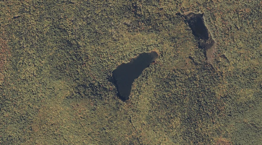
Trout Pond is a lake in Oxford County, Maine, located about 12.1 miles south of Chapman Inn in Bethel, Maine. It appears on the USGS North Waterford topographic…
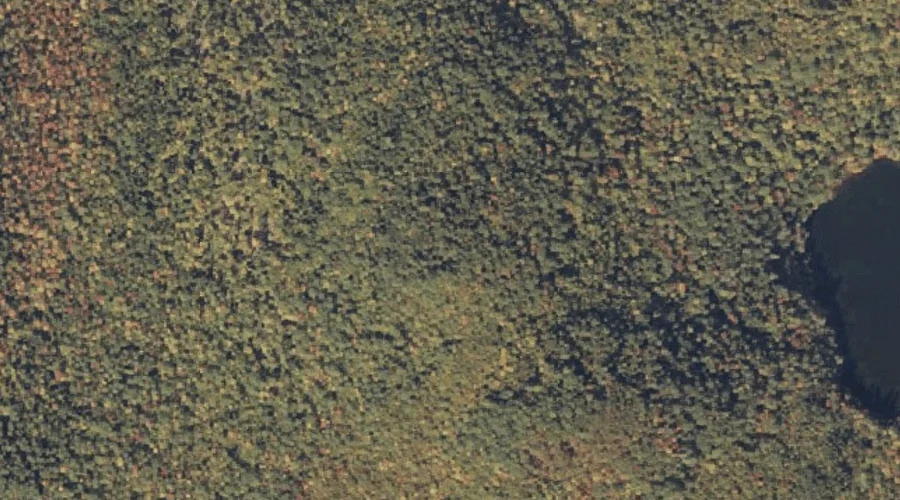
Weymouth Pond is a lake in Oxford County, Maine, located about 12.2 miles south of Chapman Inn in Bethel, Maine. It appears on the USGS North Waterford topographic…
Pine Hill is a summit in Oxford County, Maine, located about 12.2 miles south-southwest of Chapman Inn in Bethel, Maine. It appears on the USGS Center Lovell topographic…
Weymouth Hill is a summit in Oxford County, Maine, located about 12.2 miles south of Chapman Inn in Bethel, Maine. It appears on the USGS North Waterford topographic…