Zircon Brook is a stream in Oxford County, Maine, located about 13.3 miles east-northeast of Chapman Inn in Bethel, Maine. It appears on the USGS Rumford topographic quadrangle.
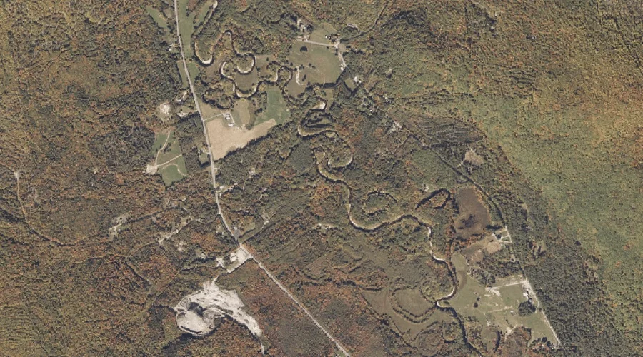
Andrews Brook is a stream in Oxford County, Maine, located about 12.8 miles east-southeast of Chapman Inn in Bethel, Maine. It appears on the USGS West Paris topographic…
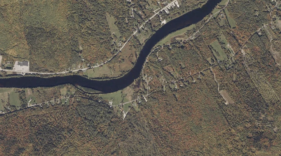
Hemlock Brook is a stream in Oxford County, Maine, located about 12.9 miles south-southeast of Chapman Inn in Bethel, Maine. It appears on the USGS Waterford Flat topographic…
East Royce Mountain is a summit in Oxford County, Maine, located about 12.6 miles west-southwest of Chapman Inn in Bethel, Maine. It appears on the USGS Wild River…
Little Concord Pond is a lake in Oxford County, Maine, located about 12.7 miles east of Chapman Inn in Bethel, Maine. It appears on the USGS Mount Zircon…
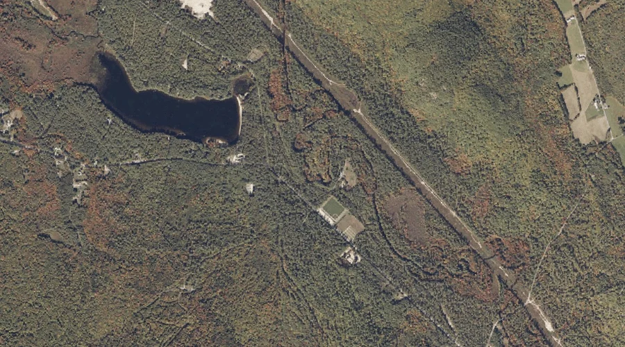
Gardner Brook is a stream in Oxford County, Maine, located about 12.7 miles north-northeast of Chapman Inn in Bethel, Maine. It appears on the USGS East Andover topographic…
Screw Auger Falls Gorge is a valley in Oxford County, Maine, located about 12.7 miles north-northwest of Chapman Inn in Bethel, Maine. It appears on the USGS Old…
Sheep Island is a island in Oxford County, Maine, located about 12.7 miles south-southwest of Chapman Inn in Bethel, Maine. It appears on the USGS Center Lovell topographic…
Paine Brook is a stream in Oxford County, Maine, located about 12.7 miles north-northwest of Chapman Inn in Bethel, Maine. It appears on the USGS Old Speck Mountain…
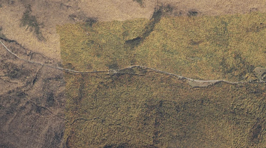
Pond Brook is a stream in Oxford County, Maine, located about 12.7 miles northwest of Chapman Inn in Bethel, Maine. It appears on the USGS Old Speck Mountain…