Foster Hill is a summit in Oxford County, Maine, located about 17.7 miles south-southwest of Chapman Inn in Bethel, Maine. It appears on the USGS North Waterford topographic…
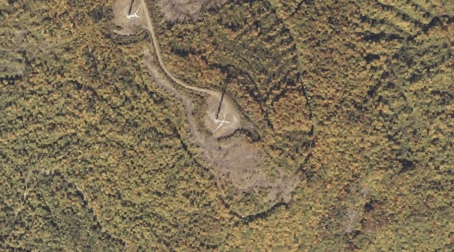
Partridge Peak is a summit in Oxford County, Maine, located about 17.7 miles north-northeast of Chapman Inn in Bethel, Maine. It appears on the USGS Ellis Pond topographic…
Howard Mountain is a summit in Oxford County, Maine, located about 17.5 miles south of Chapman Inn in Bethel, Maine. It appears on the USGS North Waterford topographic…
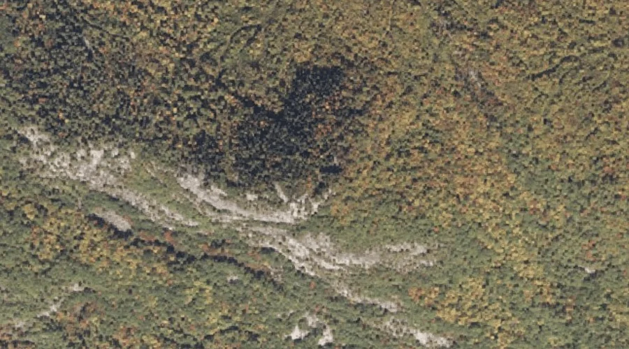
Mosquito Brook is a stream in Oxford County, Maine, located about 17.5 miles southwest of Chapman Inn in Bethel, Maine. It appears on the USGS Center Lovell topographic…
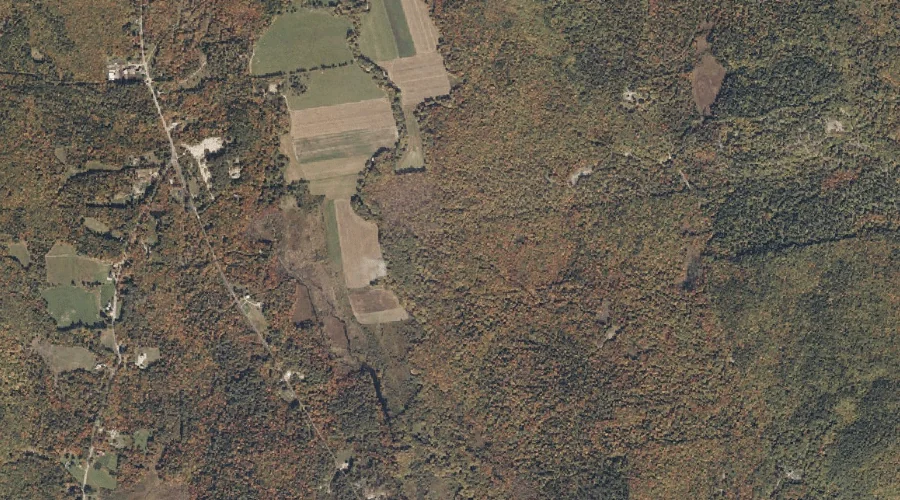
Paris Hill is a summit in Oxford County, Maine, located about 17.5 miles southeast of Chapman Inn in Bethel, Maine. It appears on the USGS West Sumner topographic…
Perry Hill is a summit in Oxford County, Maine, located about 17.6 miles south of Chapman Inn in Bethel, Maine. It appears on the USGS North Waterford topographic…
Tumbledown Dick Mountain is a summit in Oxford County, Maine, located about 17.6 miles east-northeast of Chapman Inn in Bethel, Maine. It appears on the USGS Worthley Pond…
Clough Hill is a summit in Oxford County, Maine, located about 17.6 miles south of Chapman Inn in Bethel, Maine. It appears on the USGS North Waterford topographic…
Trask Ledge is a summit in Oxford County, Maine, located about 17.6 miles northeast of Chapman Inn in Bethel, Maine. It appears on the USGS Dixfield topographic quadrangle.
Bear Mountain is a summit in Oxford County, Maine, located about 17.6 miles south-southeast of Chapman Inn in Bethel, Maine. It appears on the USGS Waterford Flat topographic…