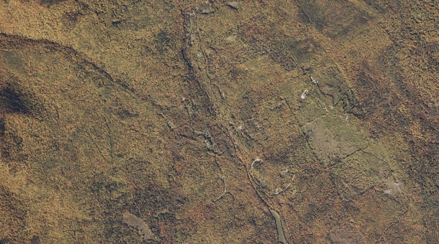
Mitchell Brook is a stream in Oxford County, Maine, located about 19.2 miles east-northeast of Chapman Inn in Bethel, Maine. It appears on the USGS Dixfield topographic quadrangle.
Philbrick Brook is a stream in Oxford County, Maine, located about 19.2 miles north-northeast of Chapman Inn in Bethel, Maine. It appears on the USGS Roxbury topographic quadrangle.
Shack Hill is a summit in Oxford County, Maine, located about 19.2 miles east-southeast of Chapman Inn in Bethel, Maine. It appears on the USGS West Sumner topographic…
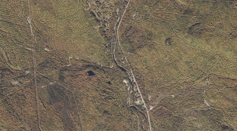
Russell Brook is a stream in Oxford County, Maine, located about 19.3 miles east of Chapman Inn in Bethel, Maine. It appears on the USGS Worthley Pond topographic…
Hemlock Knoll is a summit in Oxford County, Maine, located about 19.3 miles south of Chapman Inn in Bethel, Maine. It appears on the USGS Waterford Flat topographic…
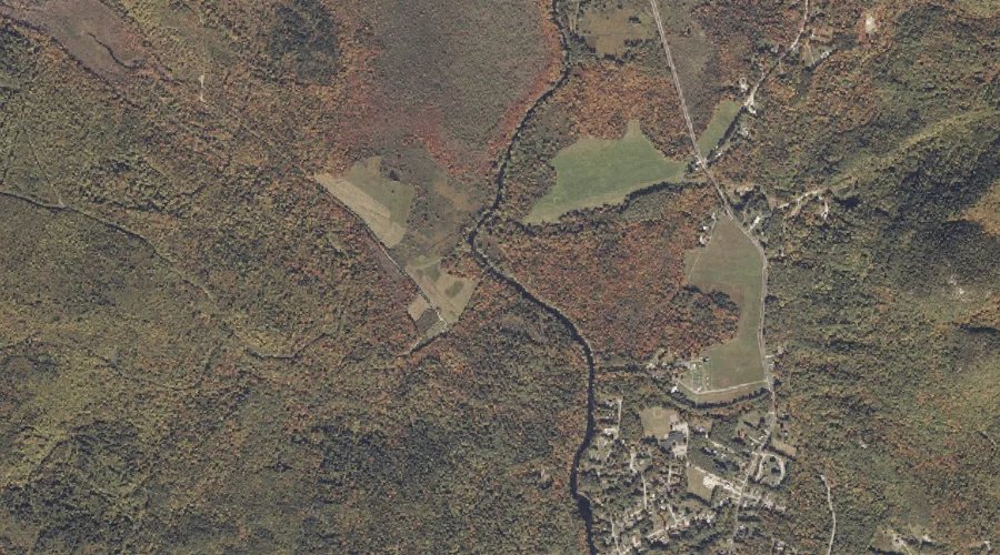
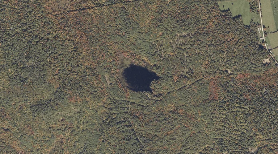
Cushman Pond is a lake in Oxford County, Maine, located about 19.1 miles east-southeast of Chapman Inn in Bethel, Maine. It appears on the USGS West Sumner topographic…
Packard Hill is a summit in Oxford County, Maine, located about 18.7 miles south of Chapman Inn in Bethel, Maine. It appears on the USGS Waterford Flat topographic…
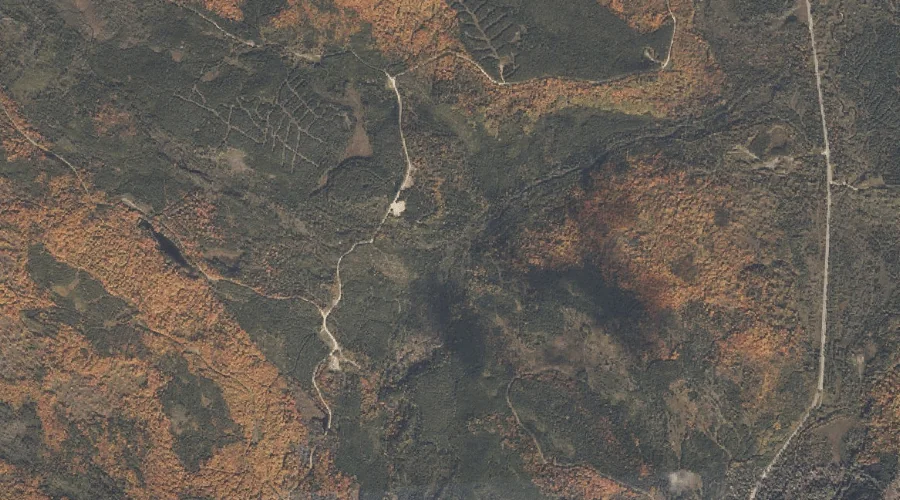
Moody Brook is a stream in Oxford County, Maine, located about 18.8 miles north of Chapman Inn in Bethel, Maine. It appears on the USGS Andover topographic quadrangle.
Cedar Brook is a stream in Oxford County, Maine, located about 18.8 miles north-northwest of Chapman Inn in Bethel, Maine. It appears on the USGS B Pond topographic…
Black Brook is a stream in Oxford County, Maine, located about 18.8 miles north-northwest of Chapman Inn in Bethel, Maine. It appears on the USGS B Pond topographic…