Woodbury Hill is a summit in Oxford County, Maine, located about 19.6 miles south of Chapman Inn in Bethel, Maine. It appears on the USGS Pleasant Mountain topographic…
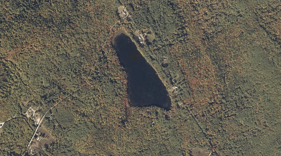
Stearns Pond is a lake in Oxford County, Maine, located about 19.6 miles south of Chapman Inn in Bethel, Maine. It appears on the USGS Pleasant Mountain topographic…
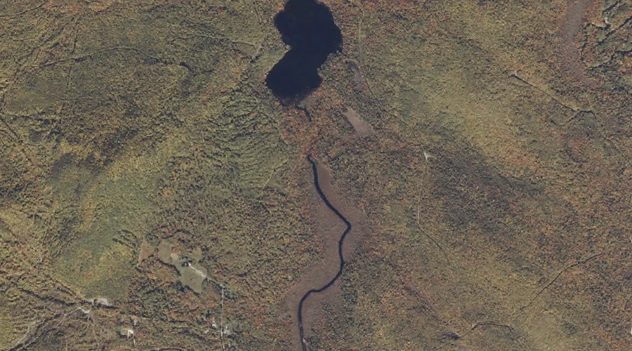
Powers Brook is a stream in Oxford County, Maine, located about 19.3 miles south of Chapman Inn in Bethel, Maine. It appears on the USGS North Waterford topographic…
Christian Hill is a summit in Oxford County, Maine, located about 19.3 miles south-southwest of Chapman Inn in Bethel, Maine. It appears on the USGS Center Lovell topographic…
Aunt Hannah Brook is a stream in Oxford County, Maine, located about 19.3 miles east-northeast of Chapman Inn in Bethel, Maine. It appears on the USGS Dixfield topographic…
Popple Hill is a summit in Oxford County, Maine, located about 19.4 miles south of Chapman Inn in Bethel, Maine. It appears on the USGS North Waterford topographic…
Flathead Mountain is a summit in Oxford County, Maine, located about 19.4 miles north-northeast of Chapman Inn in Bethel, Maine. It appears on the USGS Ellis Pond topographic…
Edmunds Bog Brook is a stream in Oxford County, Maine, located about 19.5 miles northeast of Chapman Inn in Bethel, Maine. It appears on the USGS Rumford topographic…
Fields Hill is a summit in Oxford County, Maine, located about 19.5 miles east of Chapman Inn in Bethel, Maine. It appears on the USGS Worthley Pond topographic…
Webber Pond is a lake in Oxford County, Maine, located about 19.5 miles south of Chapman Inn in Bethel, Maine. It appears on the USGS Pleasant Mountain topographic…